ROUTE Stournareika – Paramero
Stournareika – Profitis Ilias -Mauropouli – Diaselo – Pirofilakio – Loupata – Paramero
Address
Stournareika 420 32
GPS
39.4531541, 21.4899905
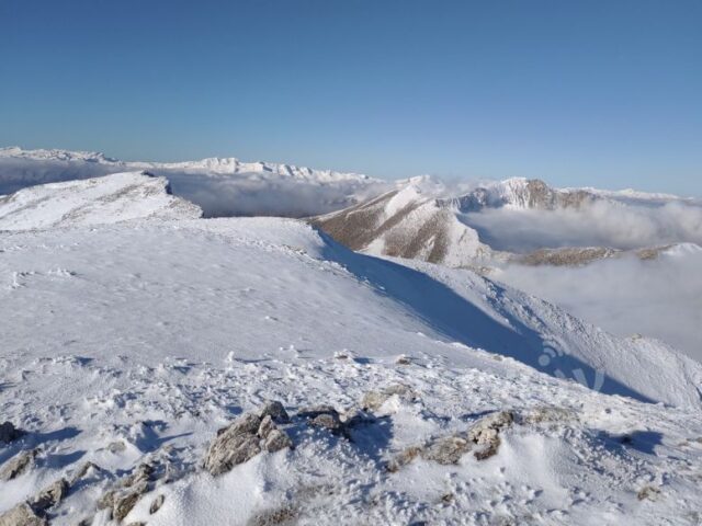
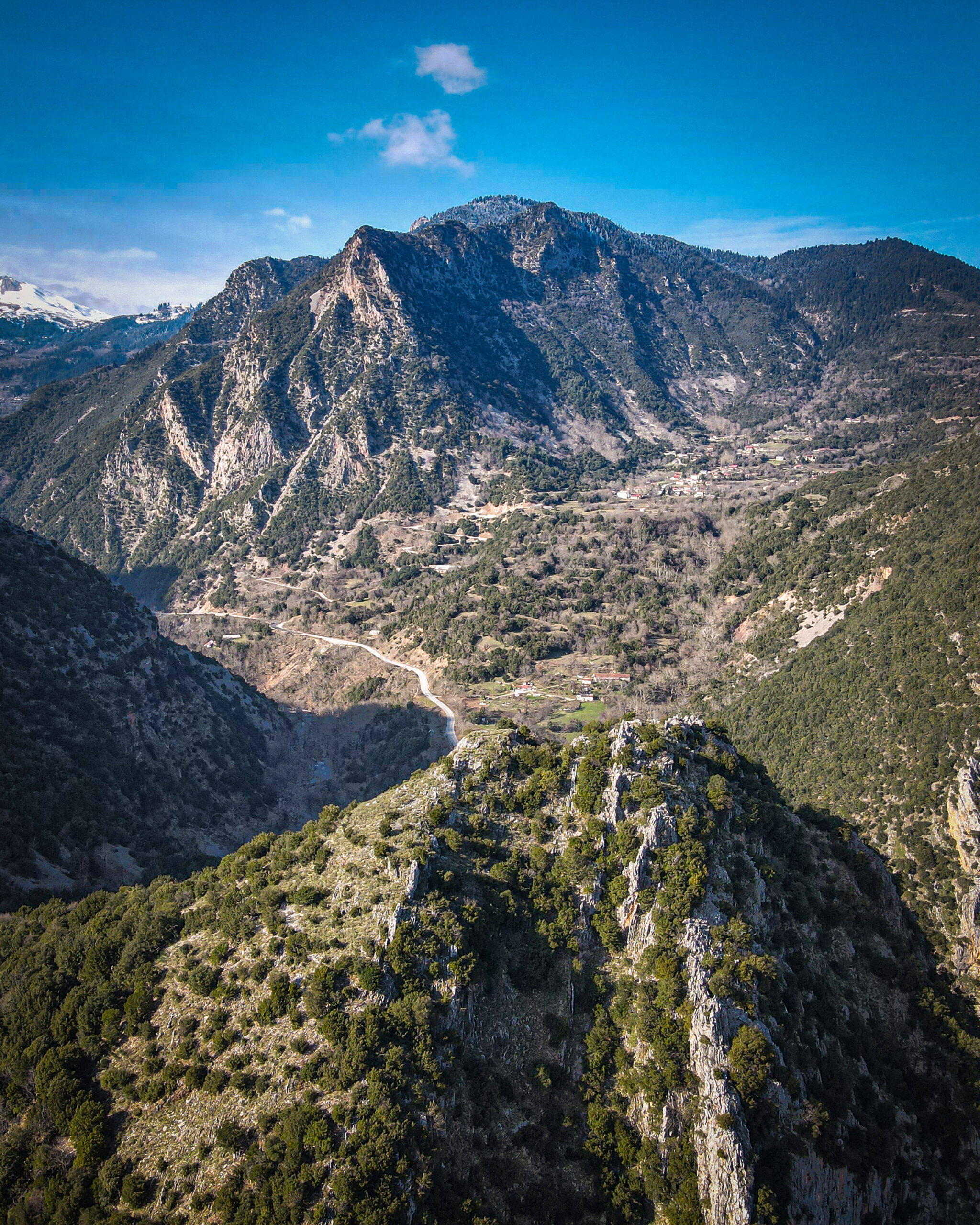
Distance 19.900,00 m | Technical Difficulty Moderate | Max Altitude 2062 m | Duration 10 hours and 30 minutes
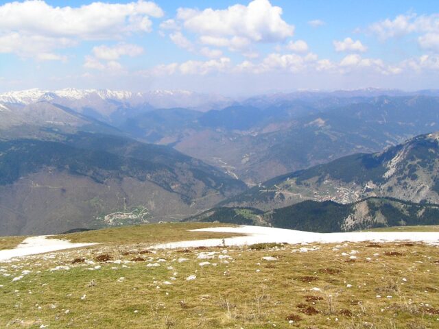
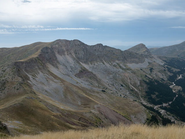
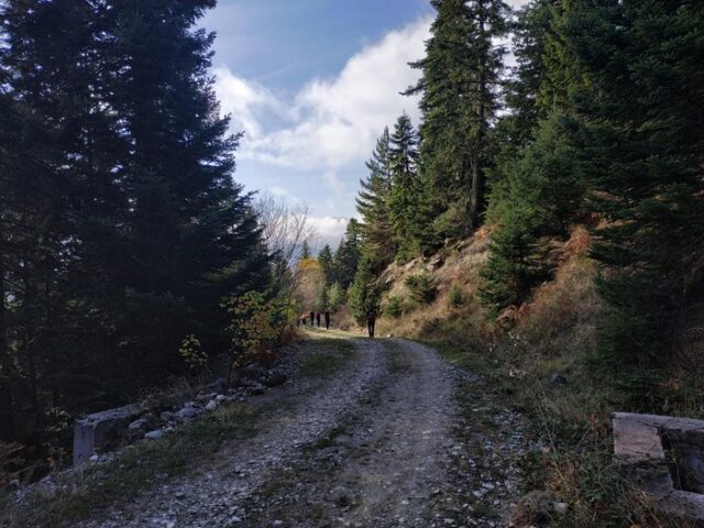
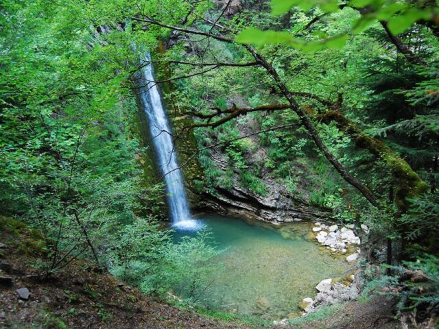
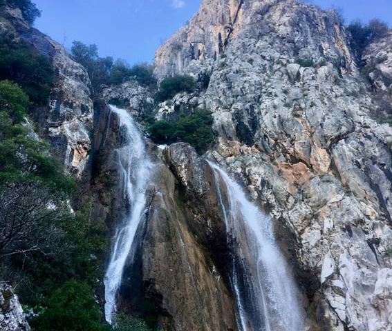
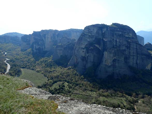
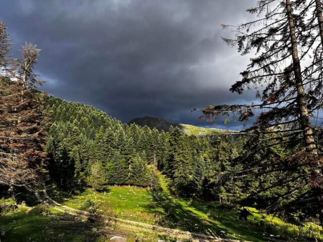
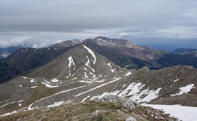
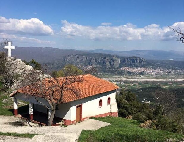
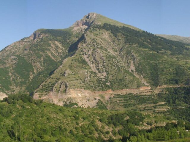
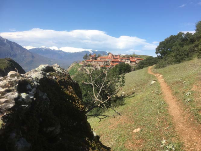
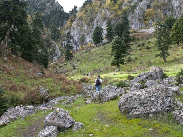
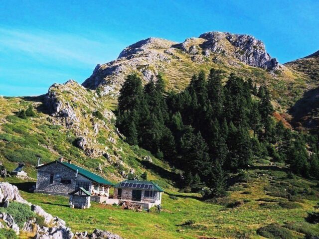
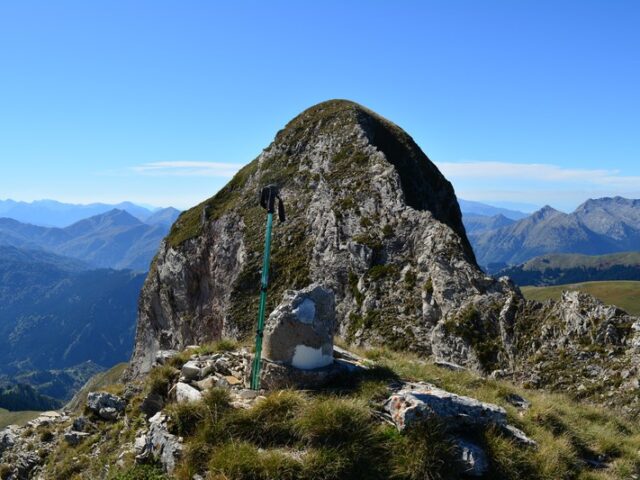
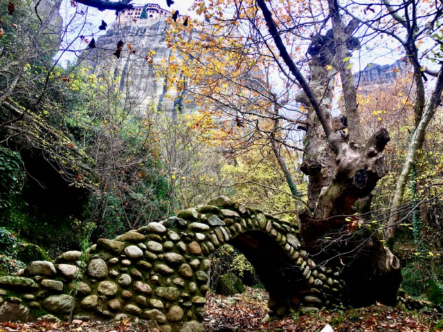
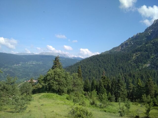
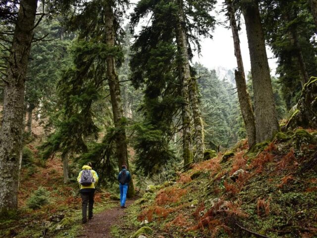
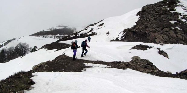
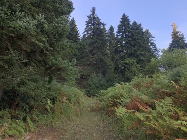
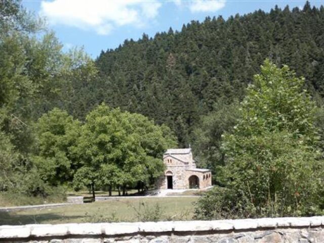
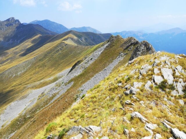
This trail starts from the centre of the village (Stournareika) and after crossing the village’s and farms of the village, it reaches the chapel of Profitis Ilias of unique beauty. From the chapel there is a staircase (passage) of the path that leads to the ridge of the mountain between the peaks of Balaros and Mavropouli. Following the ridge reaches the highest peak Mavropouli at 1721m. The trail descends towards the Loupatas Pass (Diasela) passing first the fountain of Mavropuli. From the gap it follows the main southern ridge of Loupata and reaches the old Fire Station at 1950m and shortly afterwards the highest peak of Loupata at 2066m. From the peak it descends west and enters the valley with dense forest that ends at the village of Paramero.