ROUTE Stournareika – Karatzouni
Stournareika – Karatzouni
Address
Stournareika 420 32
GPS
39.453286814956, 21.491060256958
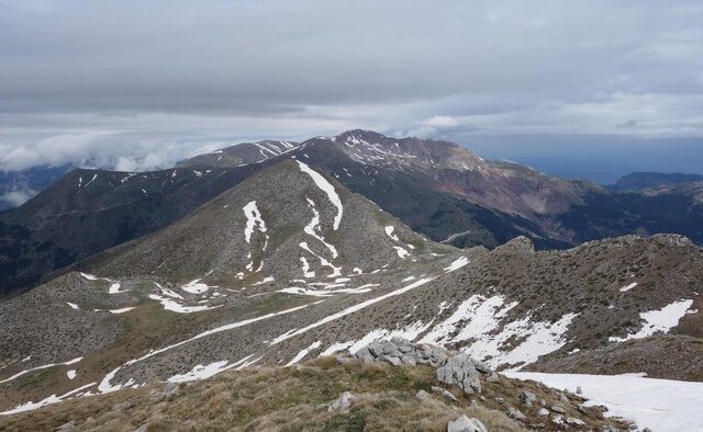
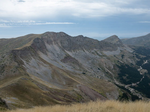
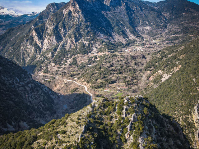
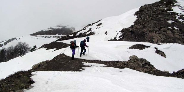
Distance 10.900,00 m | Technical Difficulty Moderate | Max Altitude 2052 m | Duration 5 hours and 7 minutes
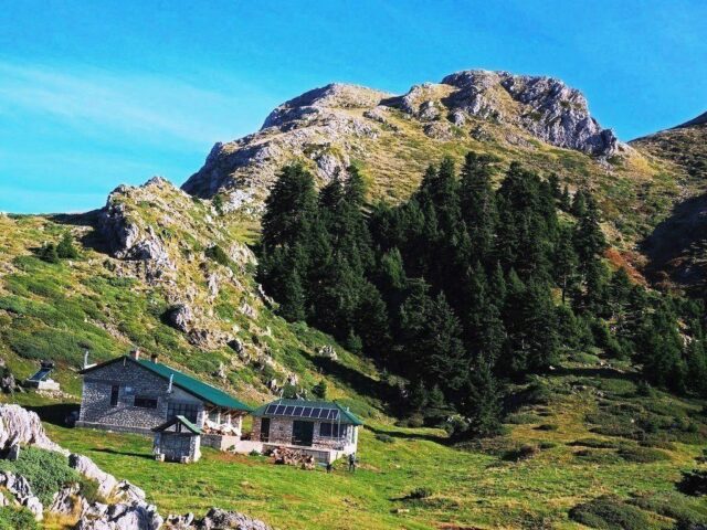
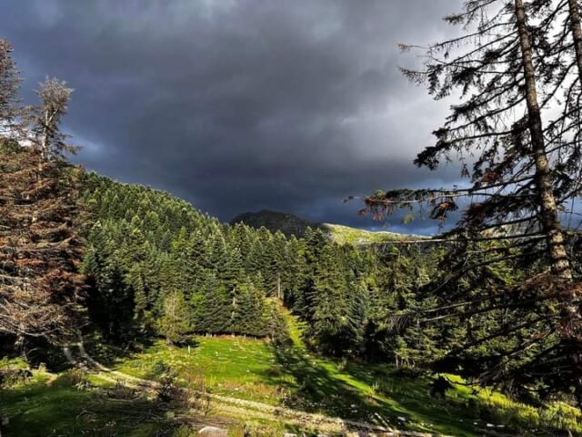
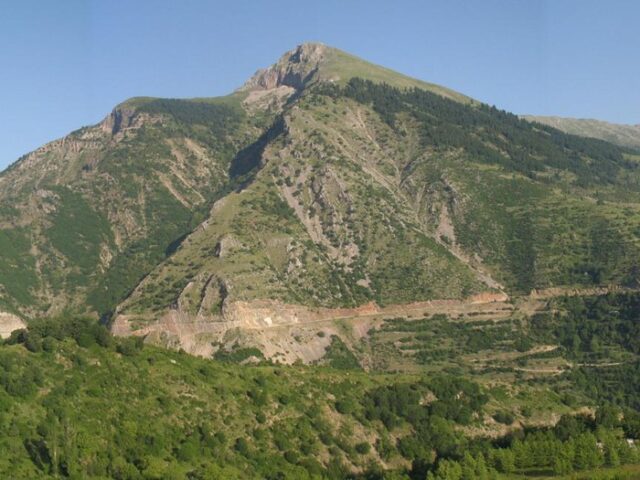
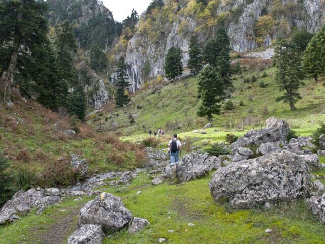
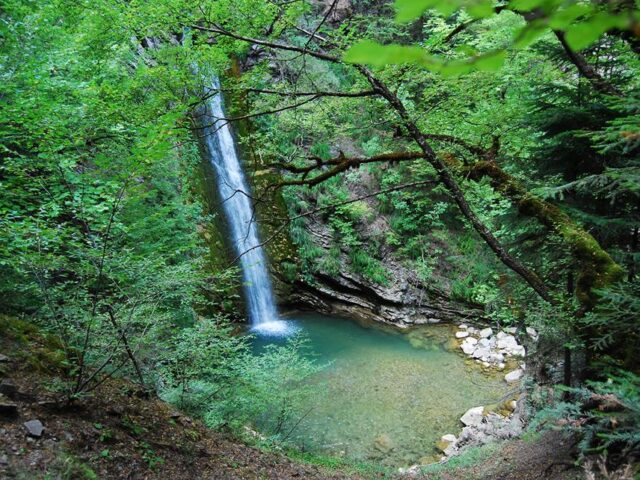
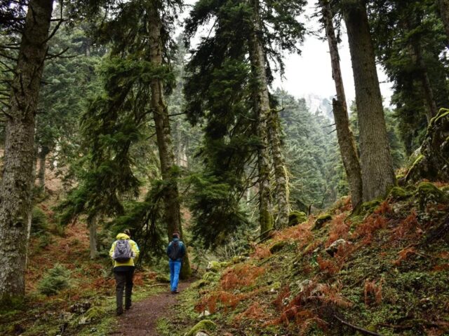
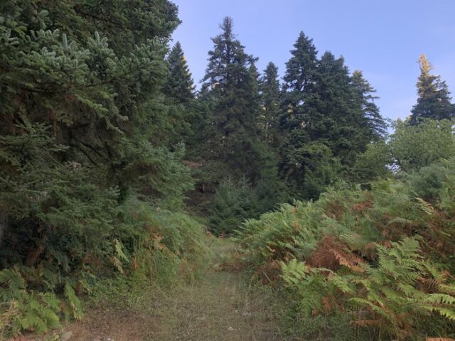
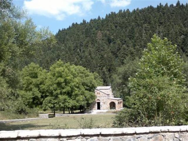
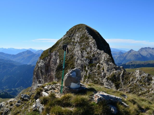
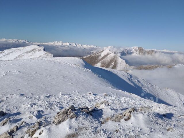
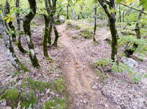
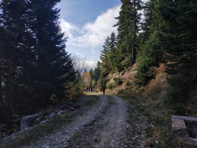
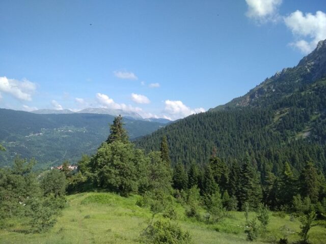
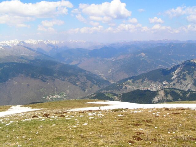
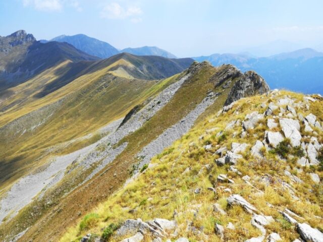
From the settlement of Psaros a few kilometres after the square of the village of Stournareika, the trail starts following the steep forest road and then enters the dense beech forest. Here the path meets the international path E4. This beech forest is one of the few in the area. The trail moves along a smooth ridge and reaches the corral from where the forest thins out due to the altitude. Following the western ridge it reaches the highest peak of Mount Karatzouni 1714m.