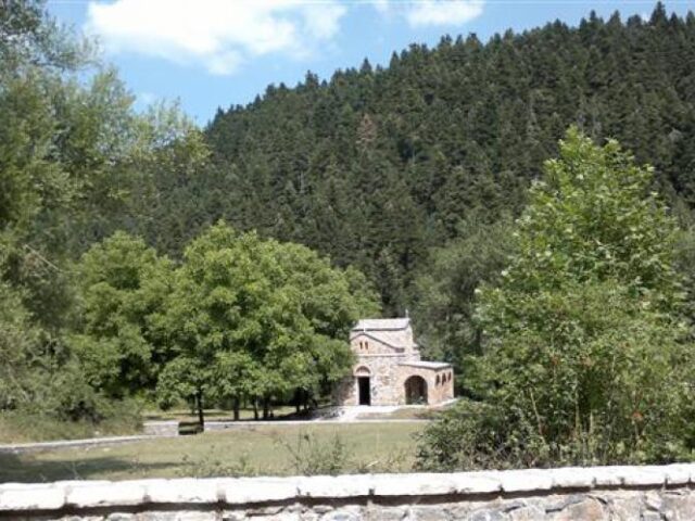
ROUTE Agios Vissarion – Mpeis Cave
Agios Vissarion – Mpeis Cave
Address
Agios Vissarion 420 32
GPS
39.47063765, 21.61690682
Distance 7,370.00 m. | Technical Difficulty Moderate | Max Altitude 1,200 m. | Duration 4 hours 20 minutes
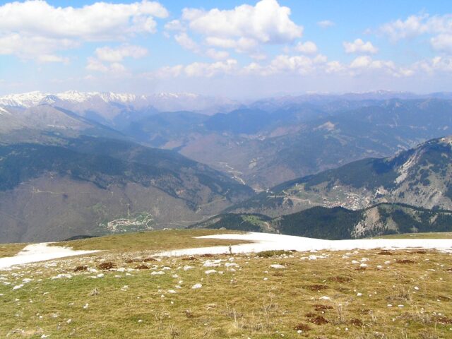
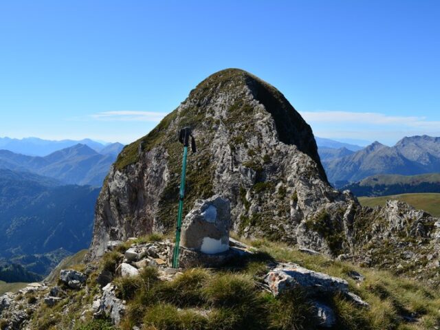
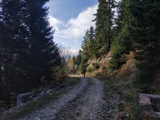
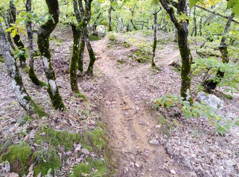
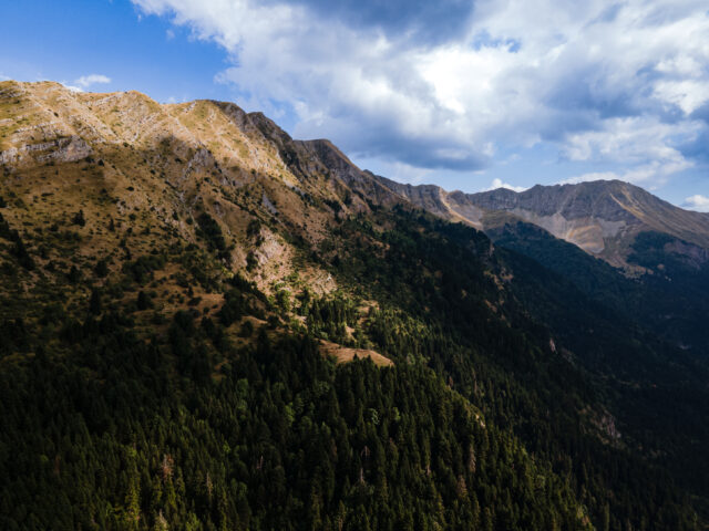
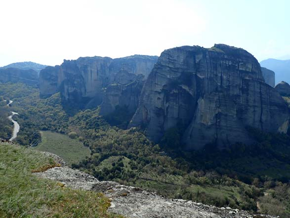
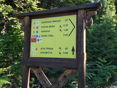
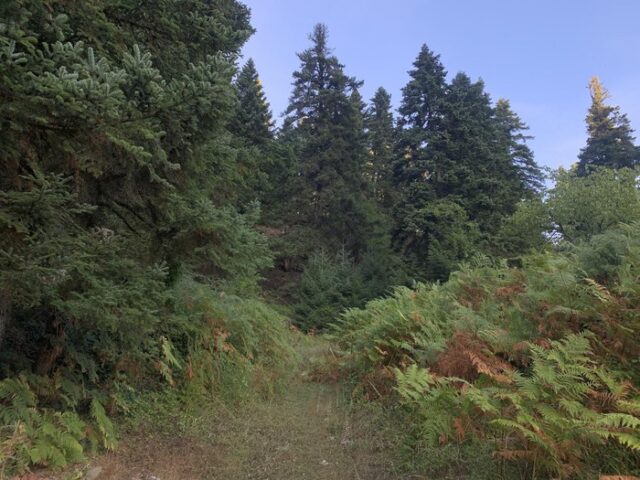
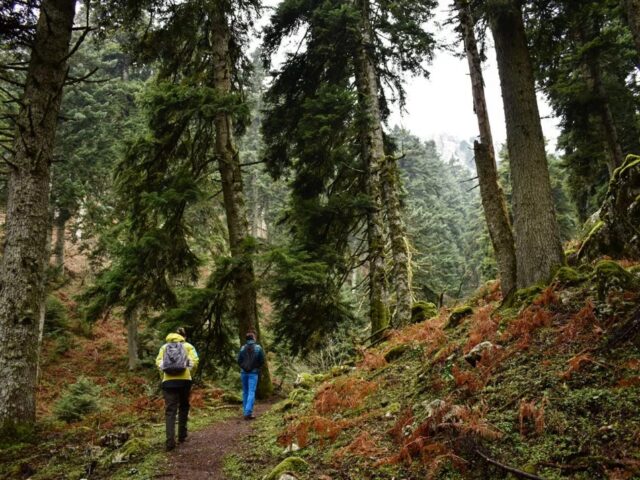
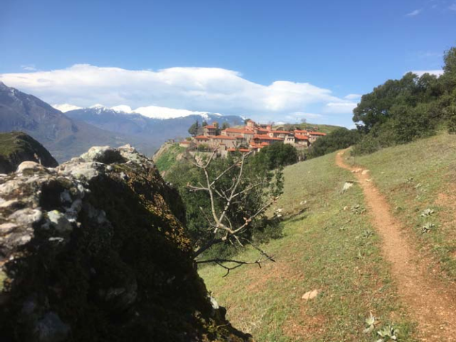
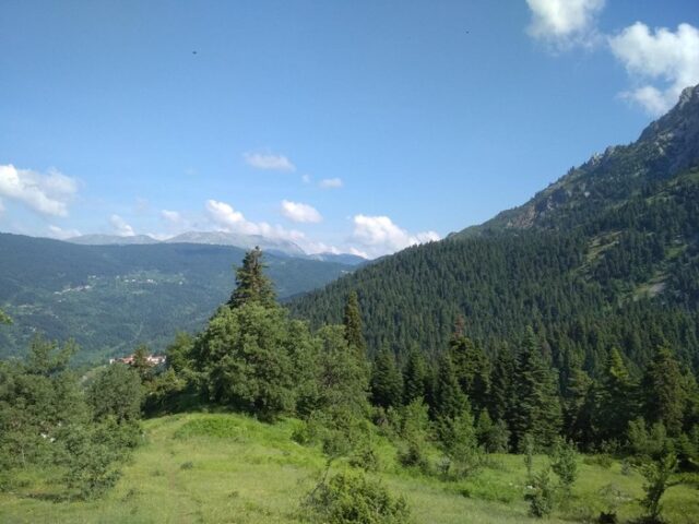
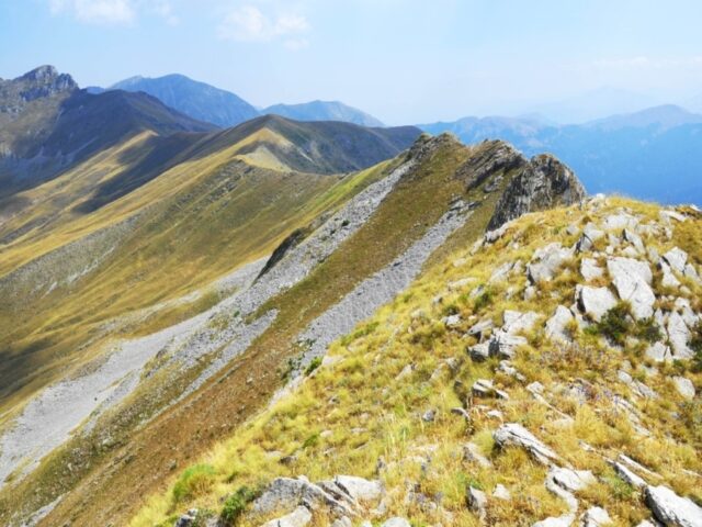
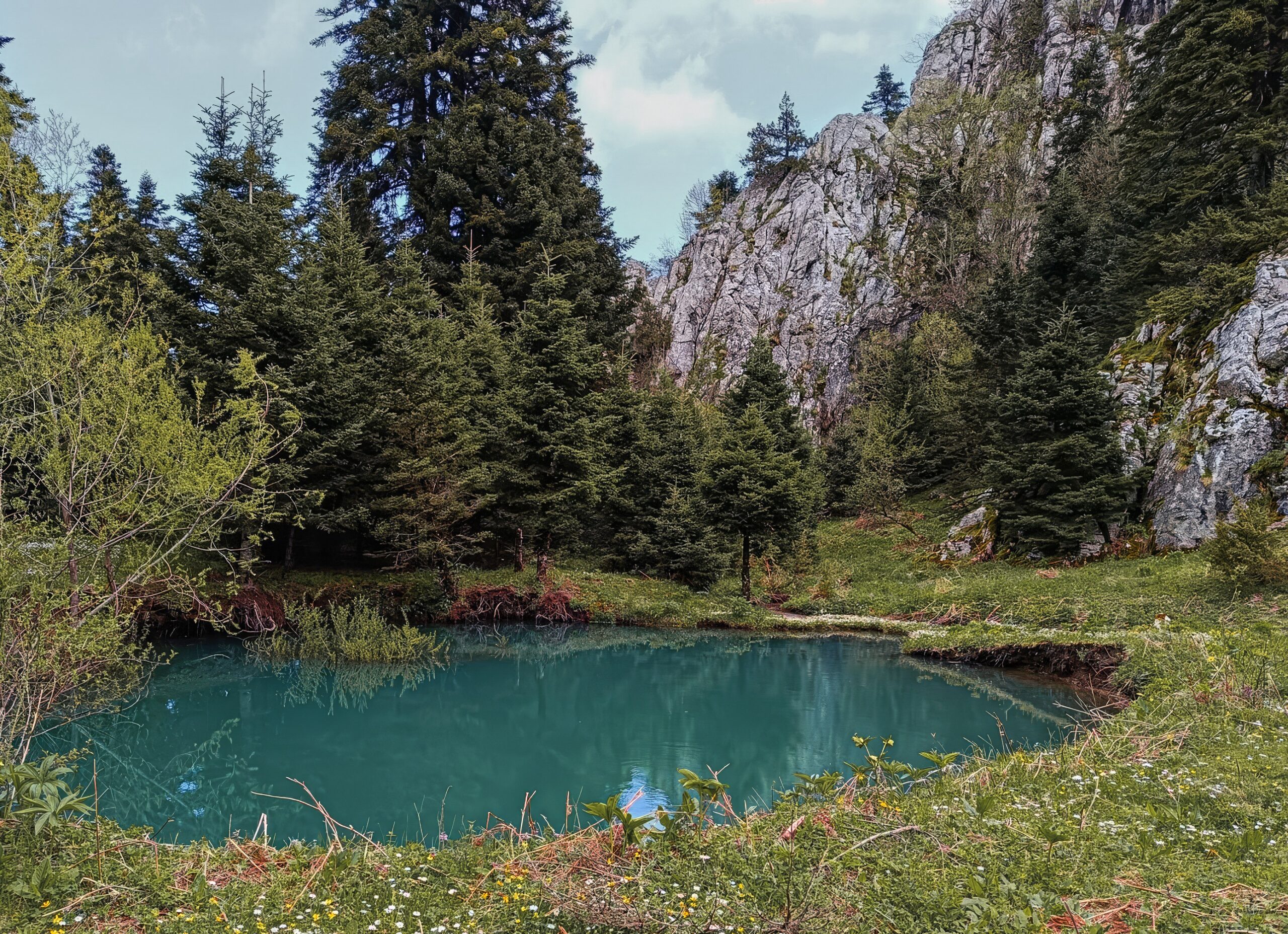
Hiking trail that starts from Agios Vissarionas and ends at Mpeis Cave. It is one of the routes/paths that someone can follow to reach Mpeis Cave. The route takes about 4 hours in total. The starting point is the square of Agios Vissarionas and the path goes uphill towards the location of Keramidi. Part of the route follows the local forest road. The route ends at the Geosite Mpeis Cave, high in Koziaka. From the location Mpeis Cave, other routes continue that cross the mountain range of Koziaka, towards Elati, Pertouli and Koziakas Refuge.