ROUTE Pertouli – Manas Gorge – Boundura – British General Headquarters – Pertouli
Pertouli – Manas Gorge – Boundura – British General Headquarters – Pertouli
Address
Pertouli 420 32
GPS
39.544685275774, 21.465686559677
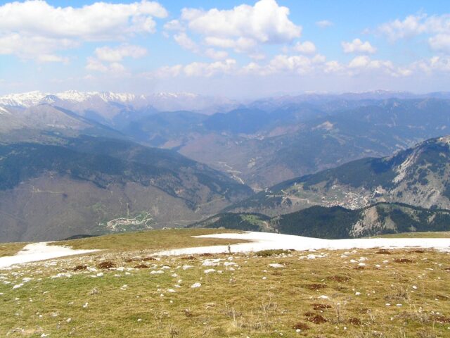
Distance 44.890,00 m | Technical Difficulty Moderate | Max Altitude 1710 m. | Duration 20 hours and 10 minutes
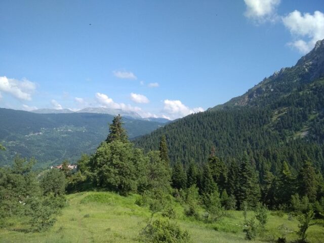
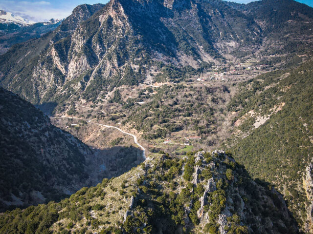
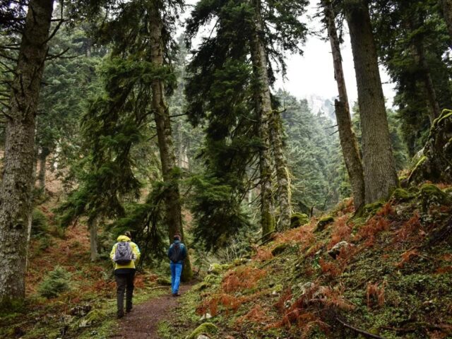
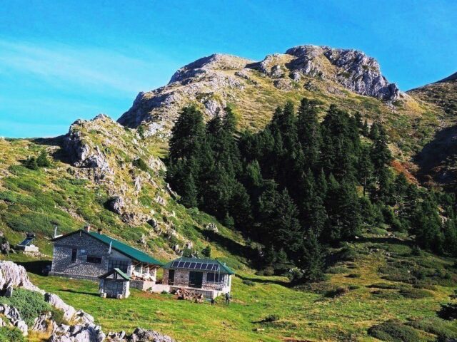
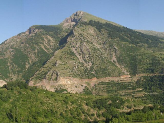
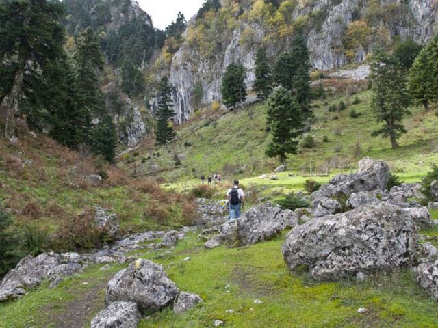
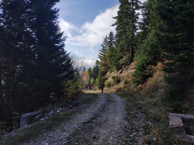
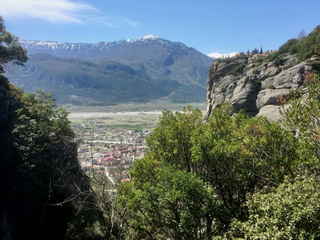
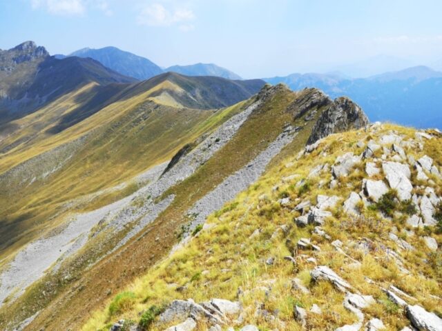
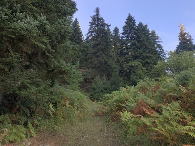
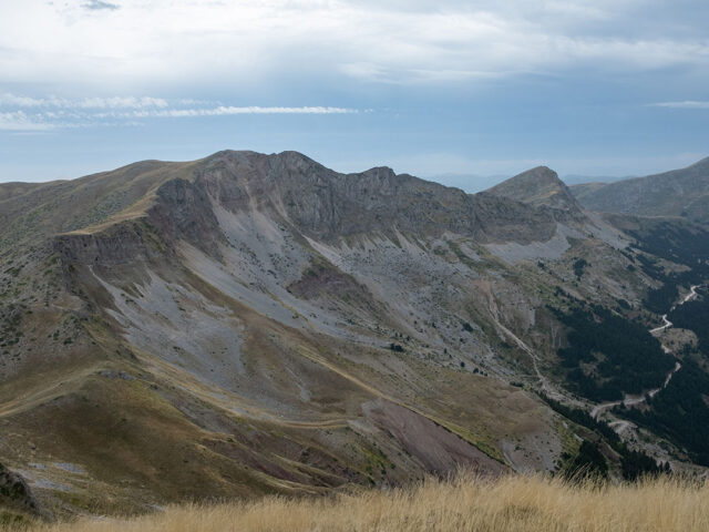
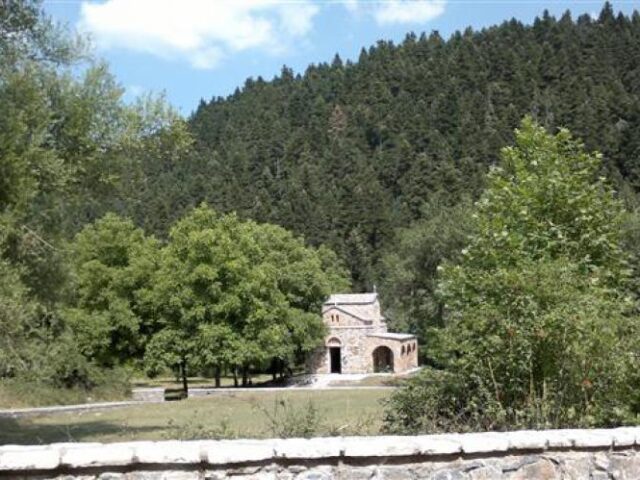
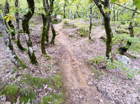
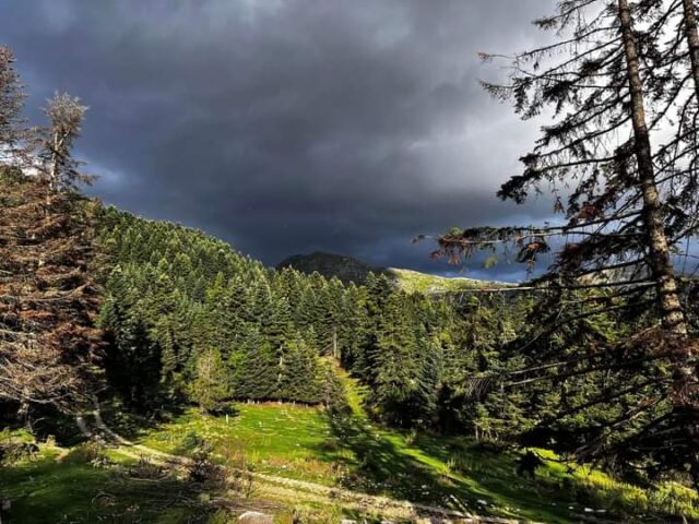
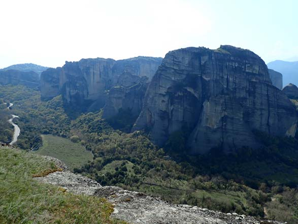
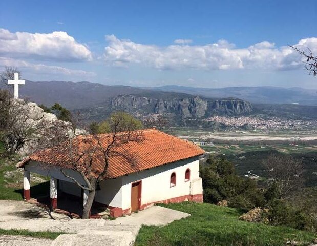
The route initially enters a rural, very lightly trafficked road, covered with fir trees. It then passes through a path that offers an uninterrupted view of the Manas Gorge, with the possibility of observing ornithology and collecting herbs. The route continues on a gently uphill rural road to the Boundura site. From there it follows a downhill path which crosses the forest of Pertoulion, passes (like the P1 route) the remains of the British General Headquarters and ends at the village square.