ROUTE Paliokaria Bridge – St. John Ropoto
Paliokaria Bridge – St. John Ropoto

Address
Eparch, Paleokaria-Ropotou Street, Pyli 420 32
GPS
39.431216552988, 21.527436375618
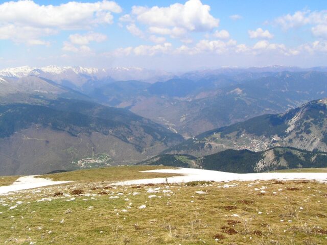
Distance 3.100,00 m. | Technical Difficulty Moderate | Max Altitude 442 m. | Duration 2 hours
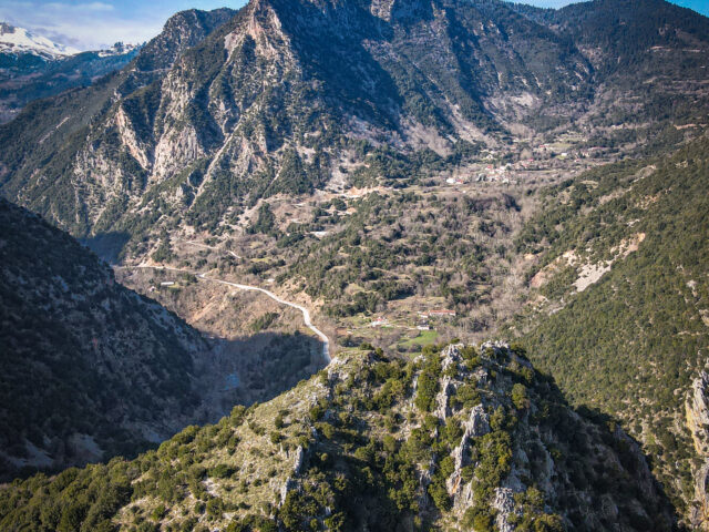
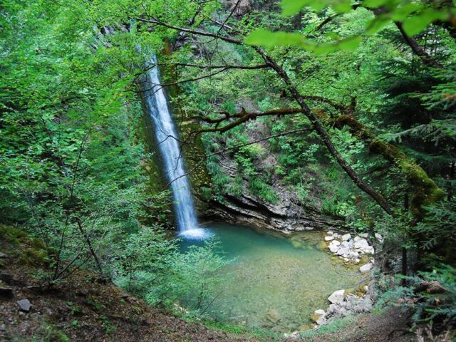
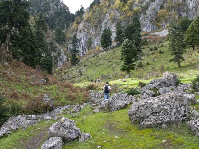
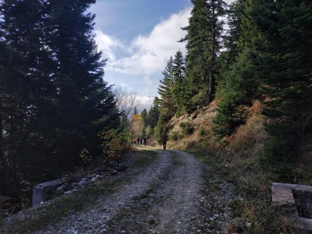
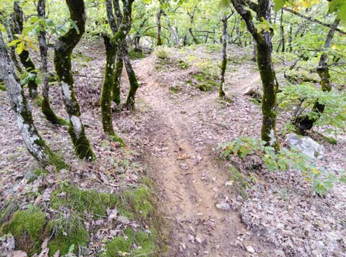
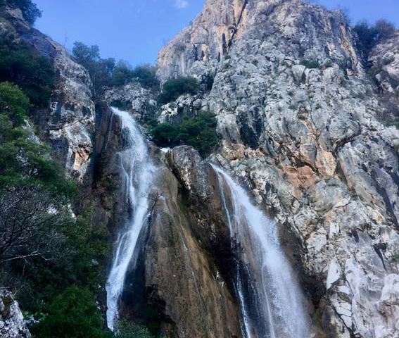
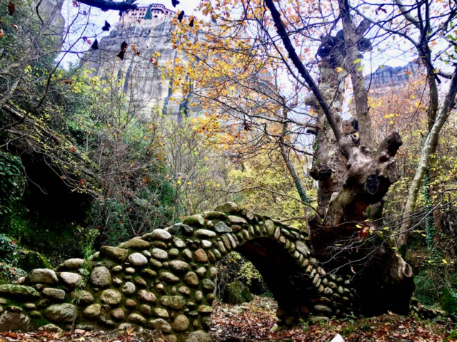
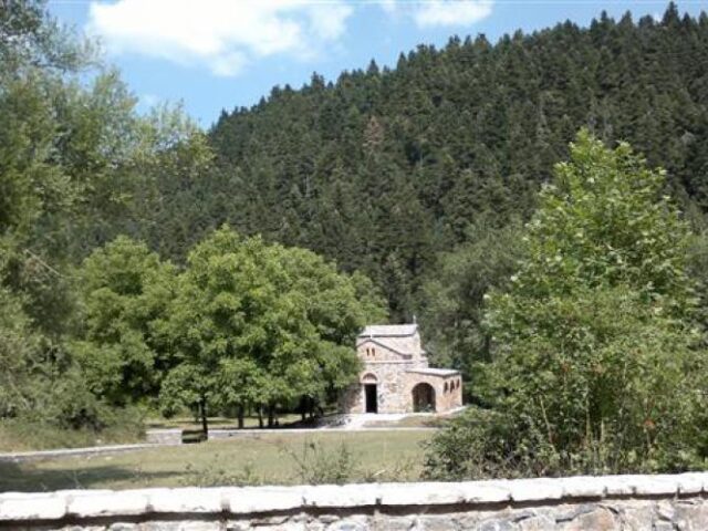
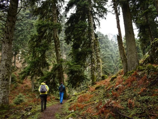
From the historical bridge of Paliokaria with the two waterfalls, the trail starts from the historical bridge of Paliokaria with the two waterfalls and crosses the western slopes of the river. The trail initially climbs slightly and then descends parallel to the river and reaches the settlement of Ai Giannis in the village of Ropoto. This path is a tourist route and combines a visit to the unique bridge. It also connects with the international path E4 that passes through Mesi Paliokaria.