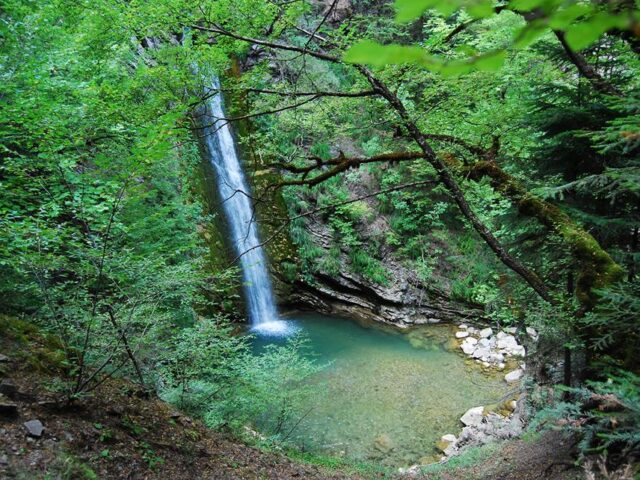
ROUTE Neraidochori – Ornio
Neraidochori – Smixis Bridge – Marosa – Ornio
va_ma
Address
Neraidochori 420 36
GPS
39.524062649505, 21.446259168716
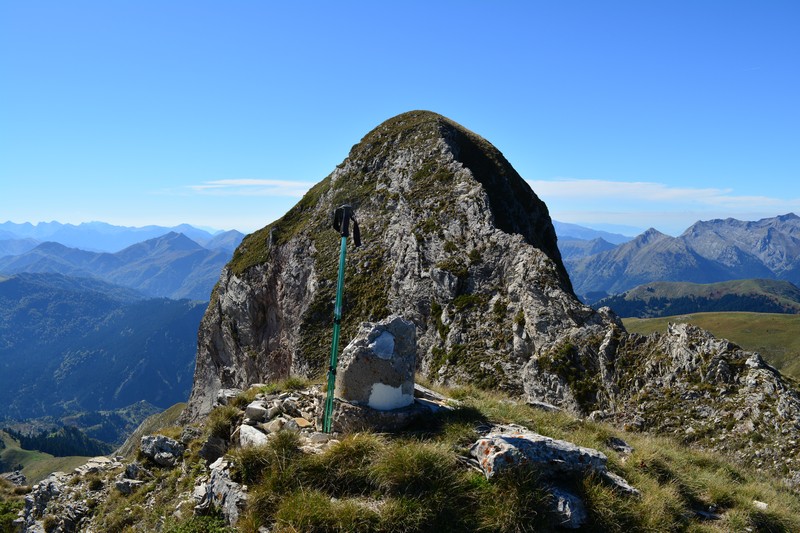
Distance 7.720,00 m | Technical Difficulty Moderate | Max Altitude 2150 m | Duration 4 hours and 40 minutes
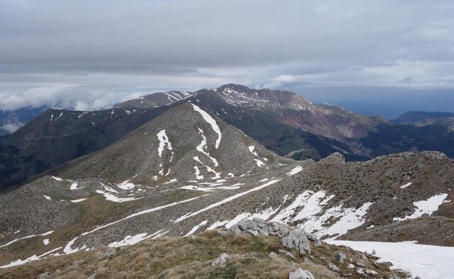
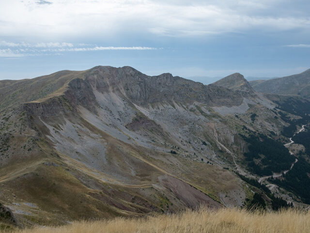
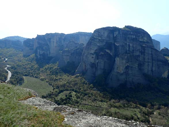
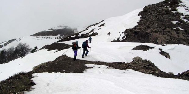
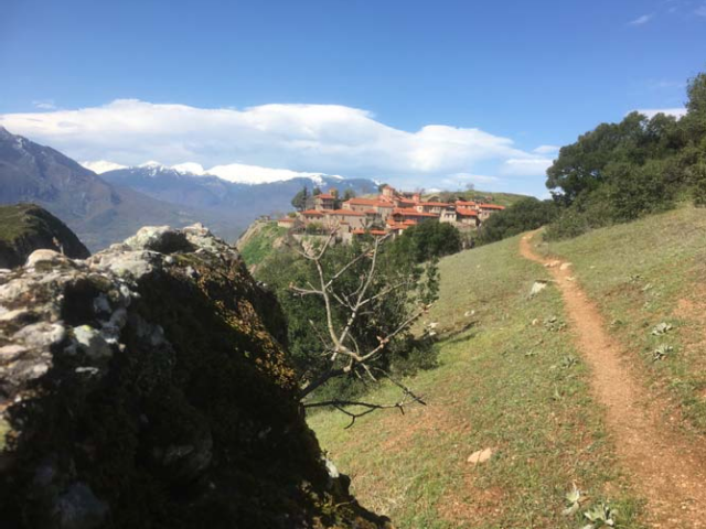
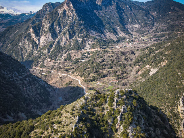
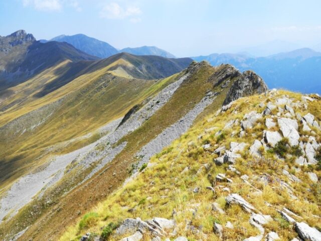
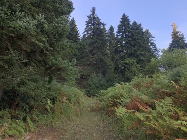
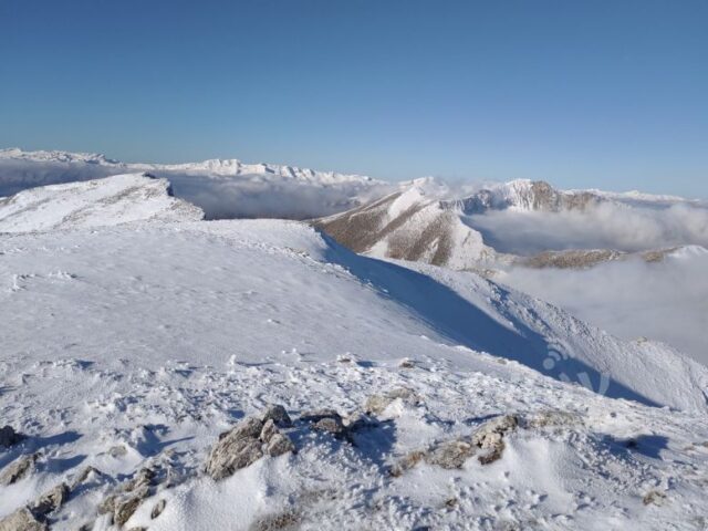
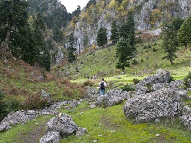
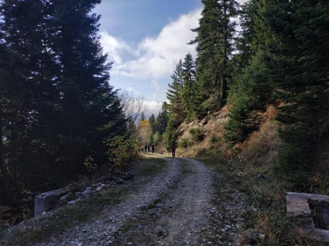
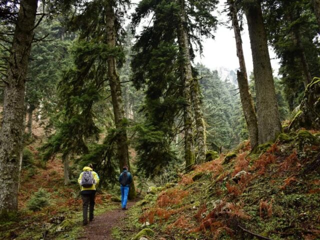
This trail is the easiest way to climb Marosa starting from the bridge under the village of Neraidochori. Arriving at Neraidochori from Elati we descend to the left at the junction to the centre of the village (square). Arriving at the square we continue along the road until the end of the village (lower part) where the asphalt stops and the dirt road continues and which we follow until the bridge over the river. The recorded route starts from the bridge, At 20m after crossing the bridge we leave the main dirt road and follow the tractor road to the left and uphill. The tract road (a rudimentary uphill road) was constructed to pass the water supply pipeline of Neraidochori from the Marosa springs. However, this road is the only path since it was blocked by fir trees and follows the pre-existing path to Marosa. Following the pipeline road we soon meet the main road to Elati-Pyrra and after crossing it we continue our uphill route. Shortly afterwards we meet the dirt road to Marosa (antennas) and Egg and cross it again, continuing along the pipeline road. The next time we meet it we continue along the forest road but after 600 metres we leave it and continue along the pipeline road on our left. After some time on the pipeline road passing through increasingly sparse fir forest we again meet the road leading to the Marosa antennas but again we cross it and continue on the pipeline road. A little higher up the forest stops and we enter the alpine field which in recent years has been covered by low vegetation (cedars) making the crossing more difficult. Continuing the ascent on the smooth ridge, we come across the tall metal stakes that were formerly used to measure the height of the snow. The route moves to the right of the steep ridge of Fourka (Lupata), aiming for the neck (1850m) between Lupata and Marosa. The terrain here is clearly alpine and very easy to follow the route to the summit, however you require caution in case of fog. From the neck (Lupata-Marosa) follow the ridge to the right leading to the summit of Marosa (ridge) which soon leads to the summit of Marosa 1967m (there is no triangulation). From Marosa following the ridge to the west and descending in altitude about 100m we reach the ridge between Marosa – Ornio. From here the steep ridge leads us directly to the peak of Ornios with the 2022m. The highest peak of Ornio is the imposing peak behind it at a distance of 200m further on. The ascent to the top of Ornio is difficult for hikers and requires special care. The classic route to Ornio is initially down a narrow steep path from the right (west) side of the ridge and up the grassy ramp seen to the right of the steep ridge. The grassy ramp is very dangerous when the grasses are wet as the slope is more than 45 degrees. The steep ridge (60 meters) as a knife-edge is the safest for those with climbing experience since it is of about III- UIAA difficulty.