ROUTE Neraidochori – Neraida
Neraidochori – Neraida
Address
Neraidochori 420 32
GPS
39.531535803527, 21.436815261841
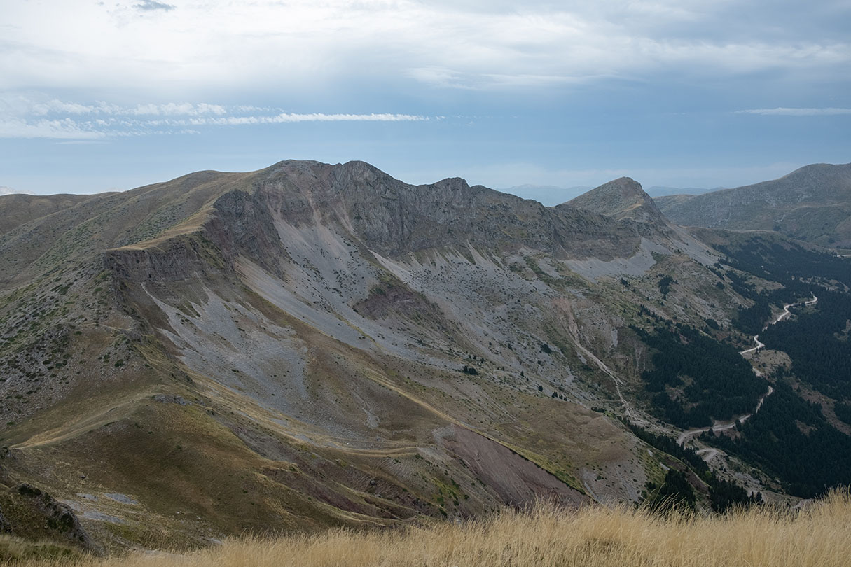
Distance 6.900,00 m | Technical Difficulty Moderate | Max Altitude 2068 m | Duration 3 hours and 50 minutes
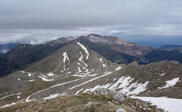
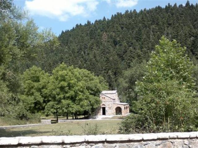
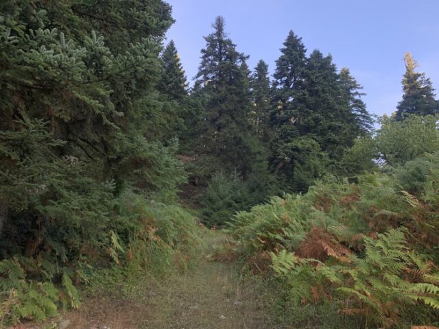
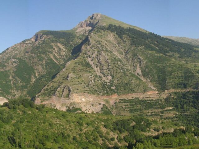
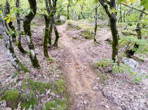
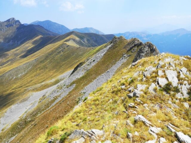
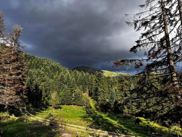
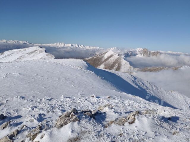
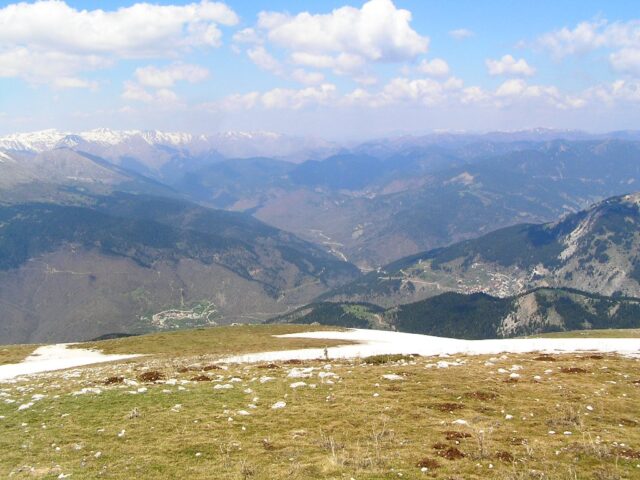
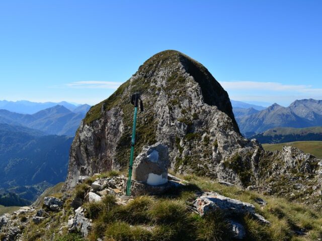
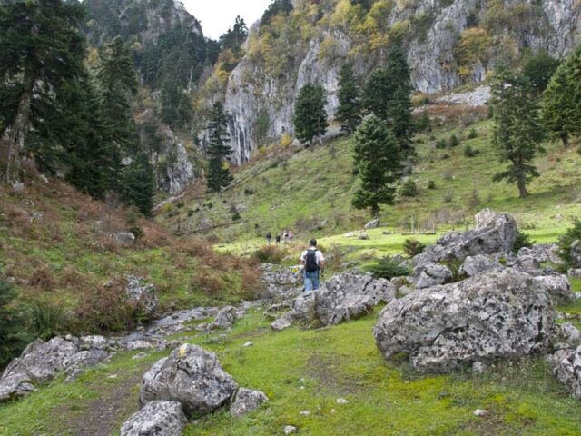
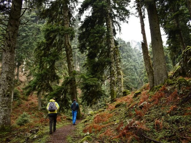
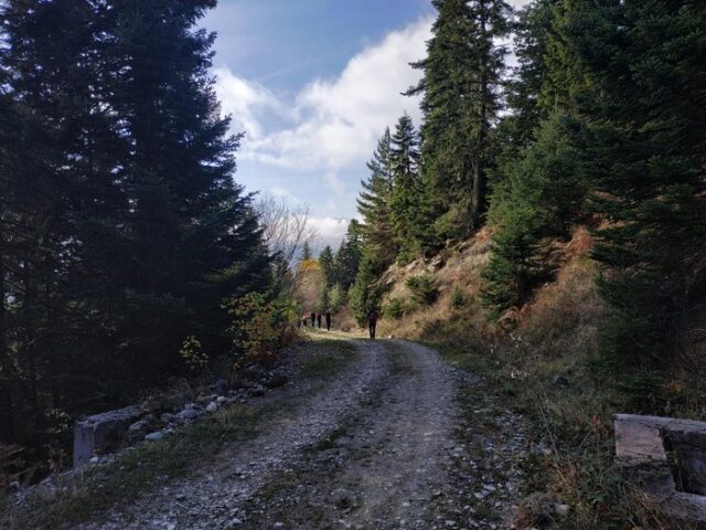
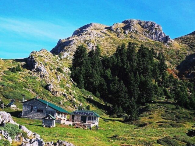
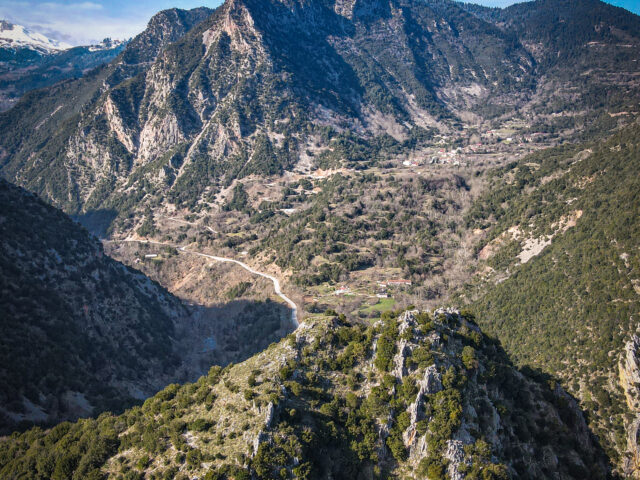
From Neraidochori the trail starts crossing the plateaus above the village and following for a short time the forest road. Finally it ends at the Neraidochori corral on the characteristic raw ridge. The trail then crosses the alpine meadows and ends at the highest peak of Neraida at 2074m. This route joins the previous one and is a shorter return from Neraida.