ROUTE Mesochora – Spitia – Hatzi
Mesochora – Spitia – Hatzi

Address
Mesochora 420 37
GPS
39.4738284, 21.3252144
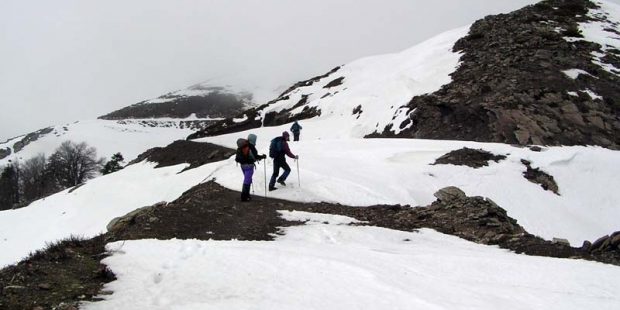
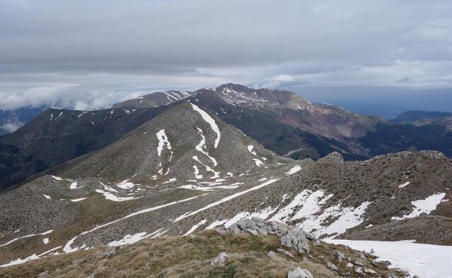
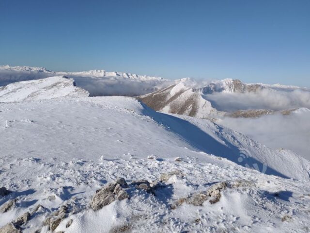
Distance 10.460,00 m. | Technical Difficulty Moderate | Max Altitude 2038 m. | Duration 7 hours
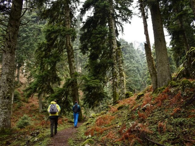
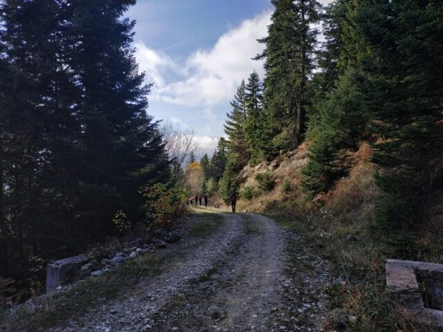
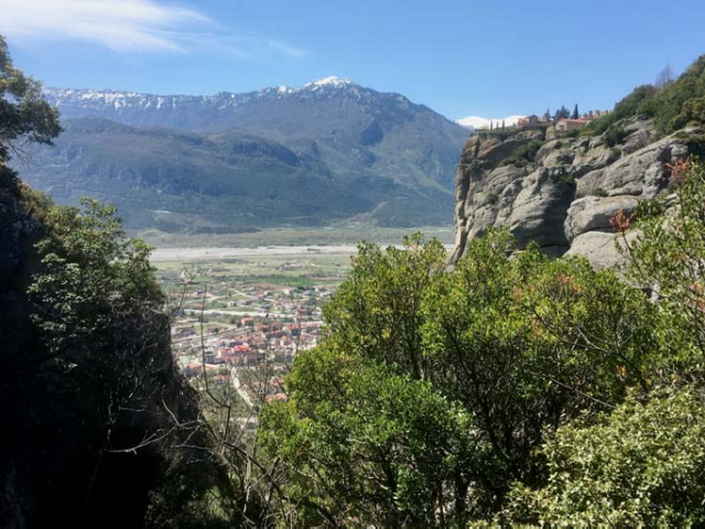
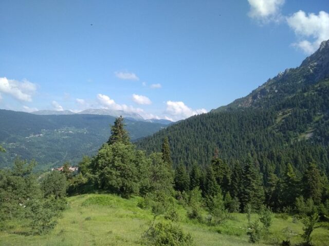
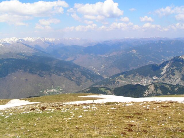
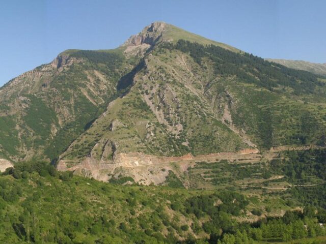
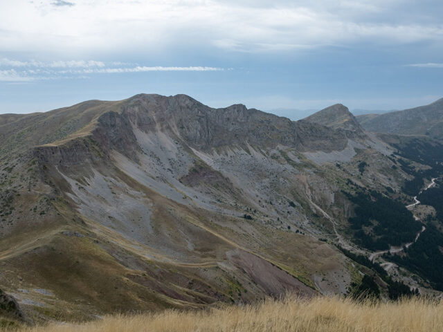
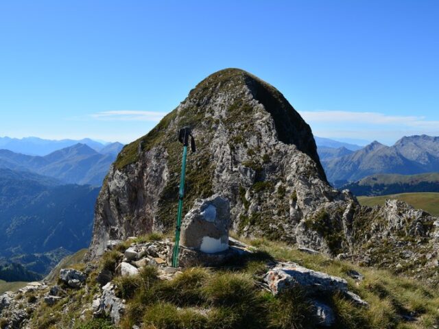
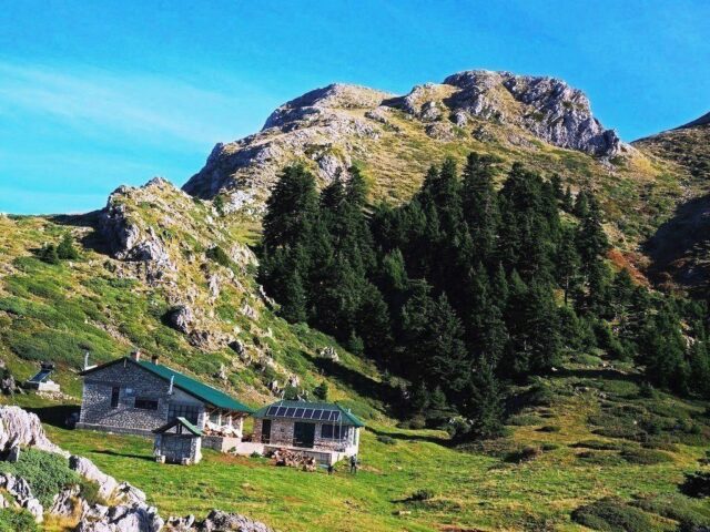
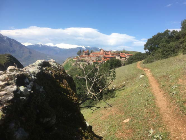
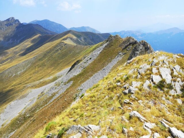
The trail starts from the centre of Mesochora at 800 m. After the cemetery it climbs up the northern slopes of Hatzis. We follow the ridge that leads to a three-strata, to Profitis Ilias above the position of the Spitia. We follow the road southwest and then come out on a path following the ridge of the mountain. We meet a cuckoo and come out again (briefly) on a dirt road. We continue following a trail moving west from Agathi Peak. The peak is accessed, with good signage, from the south side of the peak, through the gap between Hatzi and Vromeri.