ROUTE Koziakas Refuge “Short” Trail
Koziakas Refuge “Short” Trail
Address
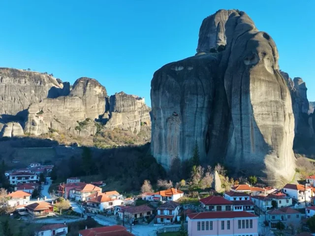
Pertouli 420 32
GPS
39.554320335103, 21.506338119507
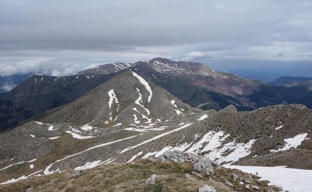
Distance 1.690,00 m | Technical Difficulty Easy | Max Altitude 1697 m | Duration 1 hour and 10 minutes
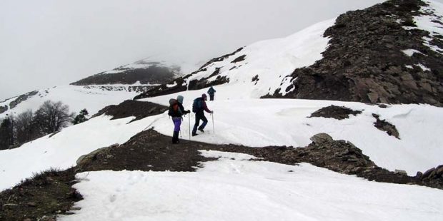
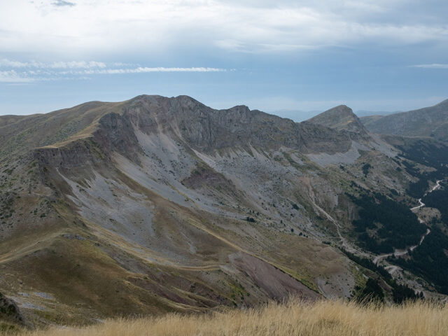
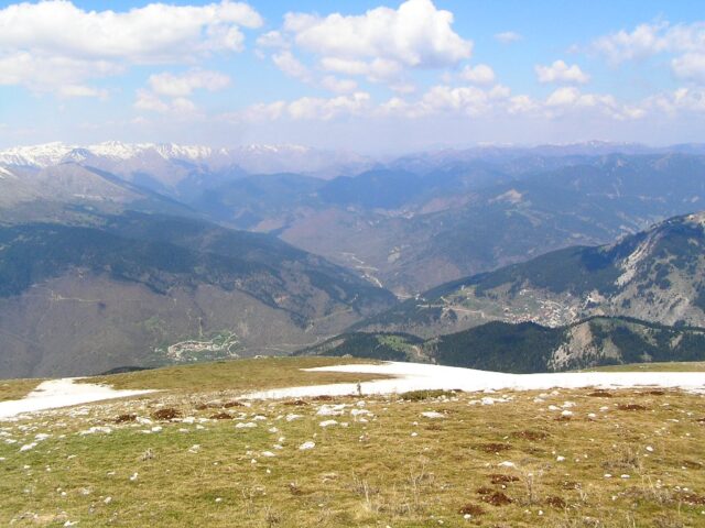
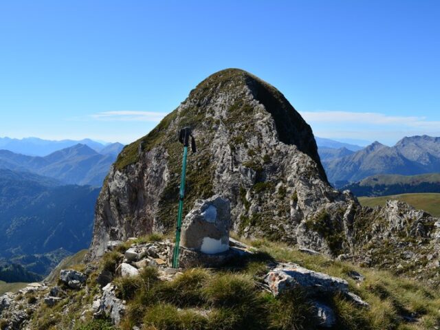
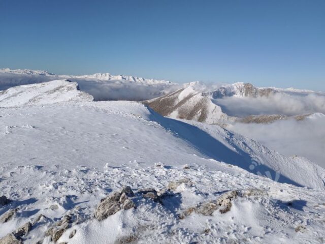
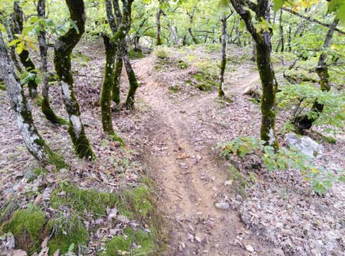
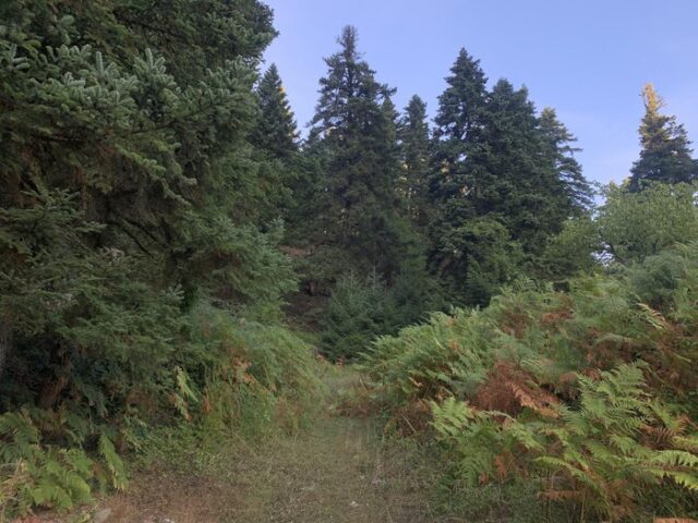
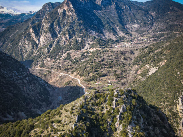
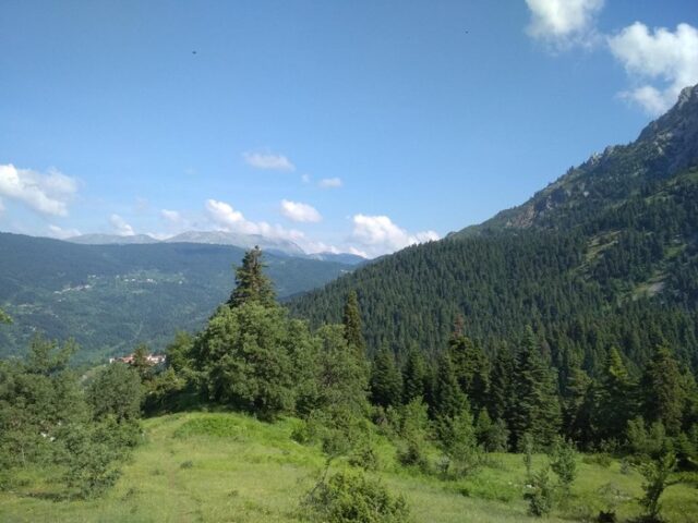
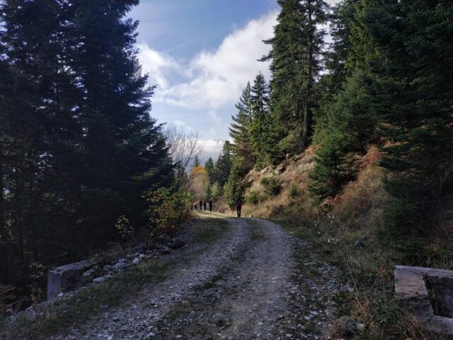
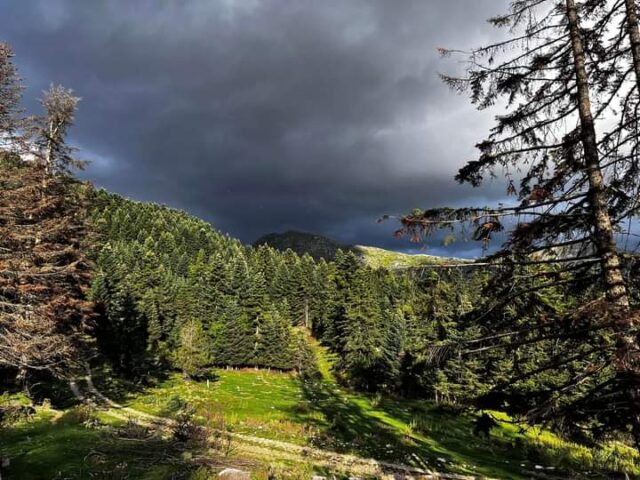
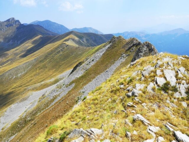
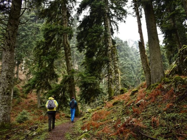
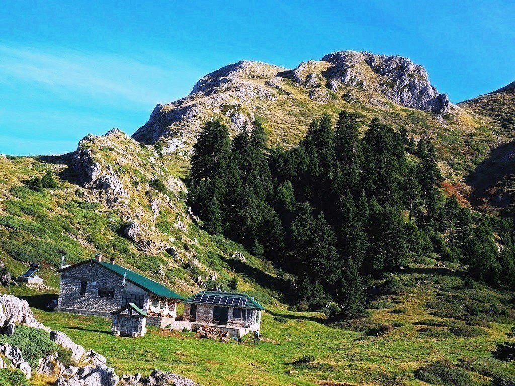
This trail is an alternative short ascent to the shelter from the Pertouli Ski Centre, bypassing the big loop that makes the classic access trail. It is the route that was considered a classic in the 1990s and 2000s. This route is recommended in winter when there is enough snow on the mountain since its length is shorter. This trail is an offshoot of the classic one and to reach the starting point we follow the classic ascent trail up to an altitude of 1350 meters. Here there is a junction on the left that climbs initially up the wooded slopes and soon the bare and steeper slopes in an easterly direction. The path meets the forest road which it follows for less than 100 metres and leaves it again at the Z it makes. After about 400 metres the path crosses the forest road and continues to the left. Here it follows the smooth dirt ridge (meadow) and traverses to the right along the slopes above the corral, reaching the Bakola plateau where the Koziakas shelter is located. This route is the shortest way to access the shelter and is best used in winter, however it is not as beautiful as the classic route.