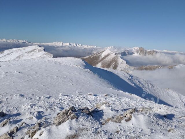
ROUTE Geladaria – Lupata
Geladaria – Lupata
Address
Elati 420 32
GPS
39.500025644231, 21.484753344068
Distance 5.020,00 m | Technical Difficulty Moderate | Max Altitude 2062 m | Duration 2 hours and 20 minutes
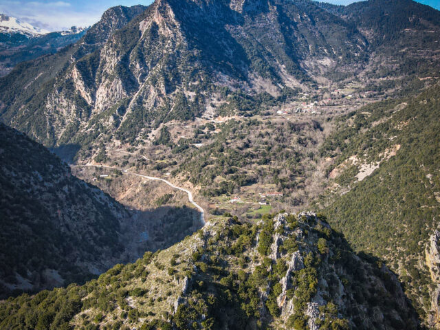
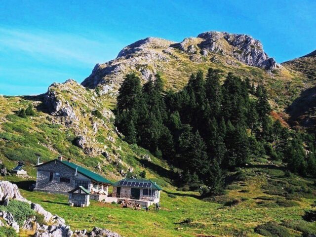
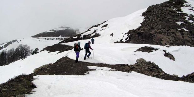
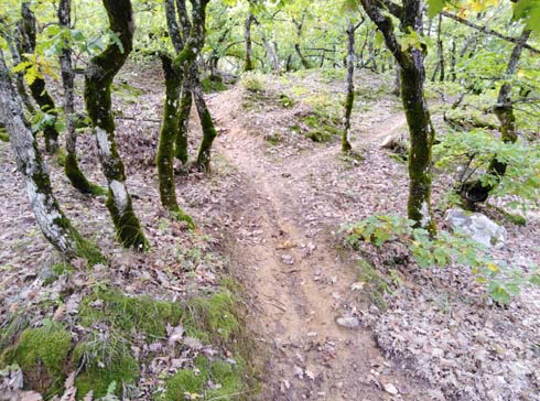
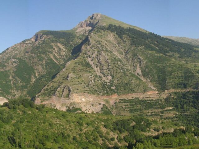
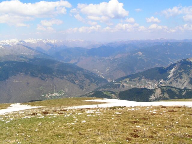
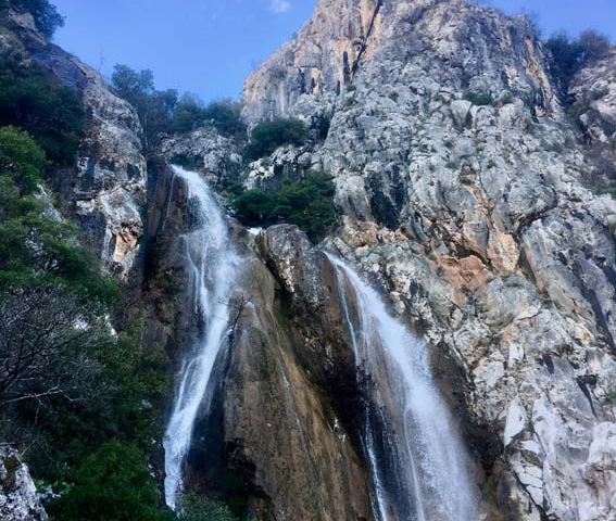
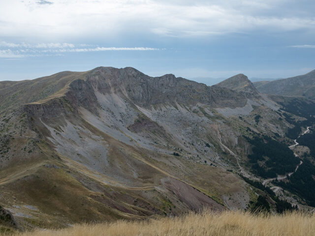
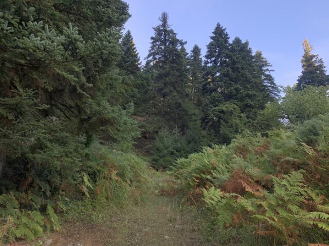
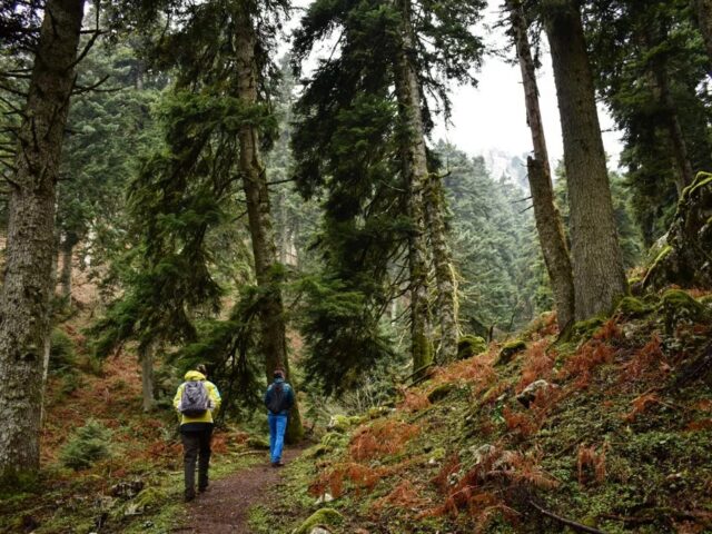
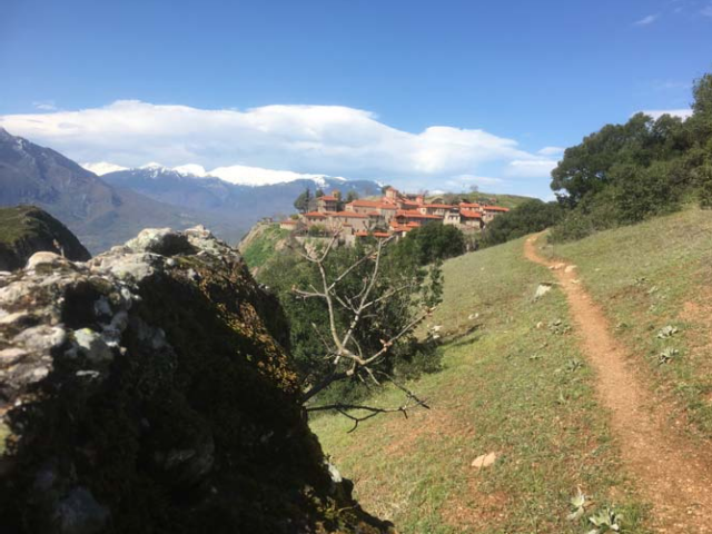
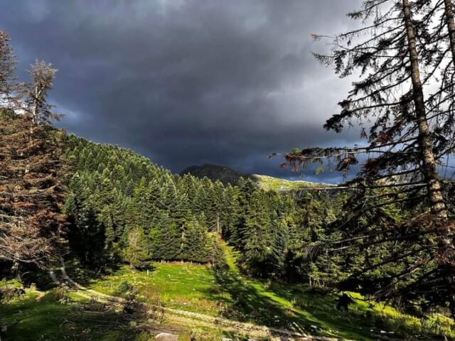
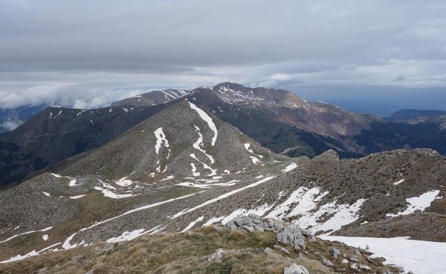
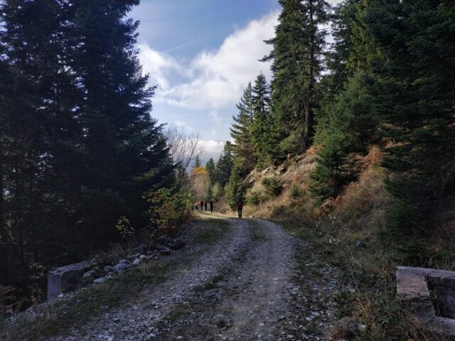
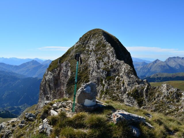
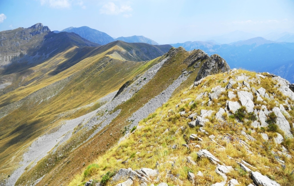
The ascent route from Geladaria to Loupata peak is probably the most beautiful and shortest route to the peak of Loupata 2066m. Geladaria is a large meadow 2km long on the forest road from Korp to Neraidochori. A few meters after the meadow on the right there is a forest road towards Lupata. Initially the road passes the river and climbs uphill for a few meters. At the first hairpin bend leave the road and go up the tractor road that follows a small ridge. A little higher up we meet the road we left again and cross it vertically continuing along the ridge. The route follows the ridge continuously and crosses the road again for the second time. At an altitude of about 1450m the ridge becomes smoother and there is a large meadow/glade of ferns. From here onwards the path is not clearly visible but follow the slope ahead, ending up back on the ridge where you reach a clearing at 1500m. Here the fir trees thin out and in about 300 metres we reach the bare mountain at the site of Astrapokamenos. From here you can see the Fire Station towards which we head, following the ridge continuously. The trail meets the forest road to the Fire Station but we never follow the road. The three cuckoos before the Fire Station is one of the spots on the ridge before the summit, where a few meters later you find the Fire Station. From the Rifle Post to the summit we follow the ridge, moving a little to the east slope as the west slope is steep. After passing 2 pre-peaks we reach the highest one on which there is no pillar. The pillar is located on Fourka Peak perhaps by mistake during construction. For the ascent route it takes about 3 hours.