ROUTE Elati – Peaks of mountain Tsioki
Elati – Thira – Monument of Papadia – Peaks of mountain Tsioki
Address
Elati 420 32
GPS
39.502682040548, 21.542580127716
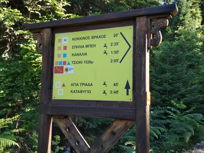
Distance 2.980,00 m. | Technical Difficulty Moderate | Max Altitude 1526 m. | Duration 2 hours
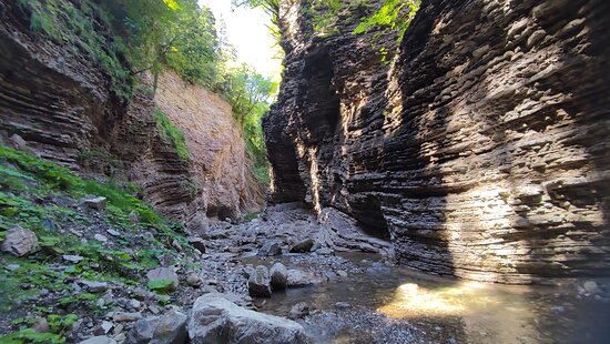
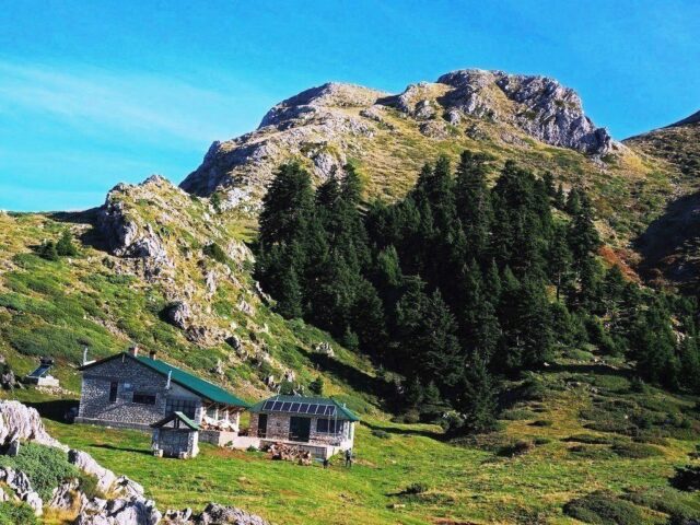
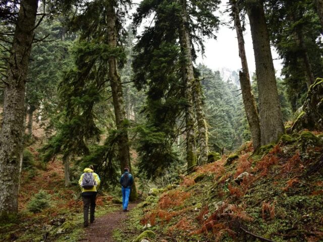
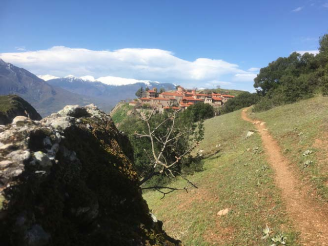
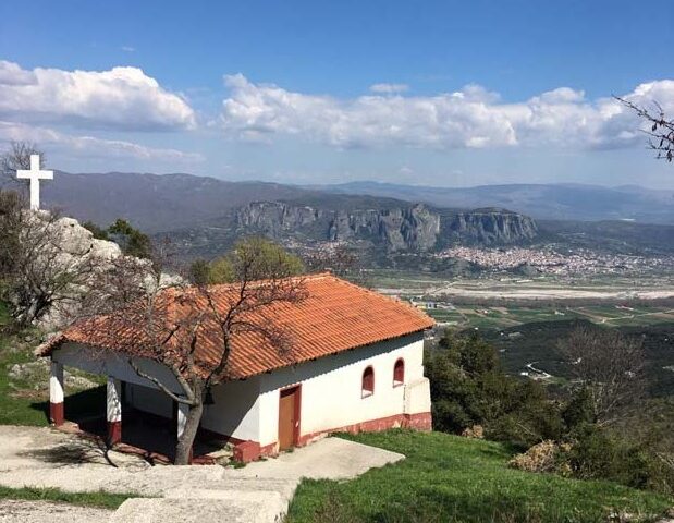
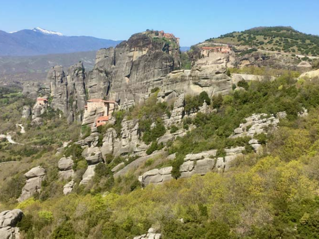
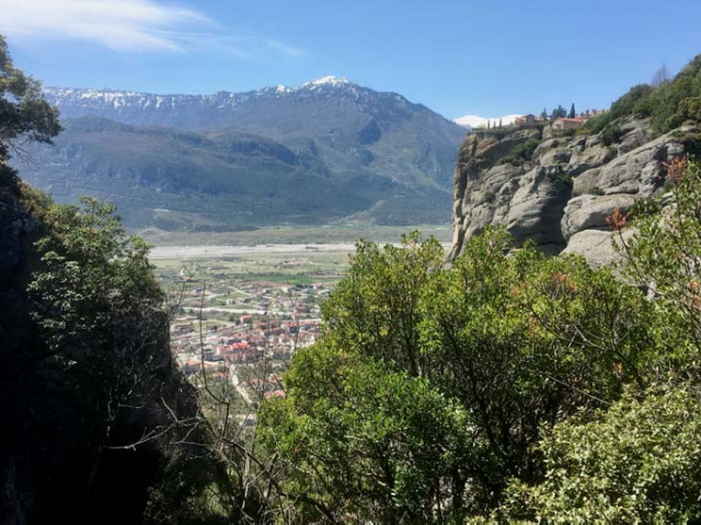
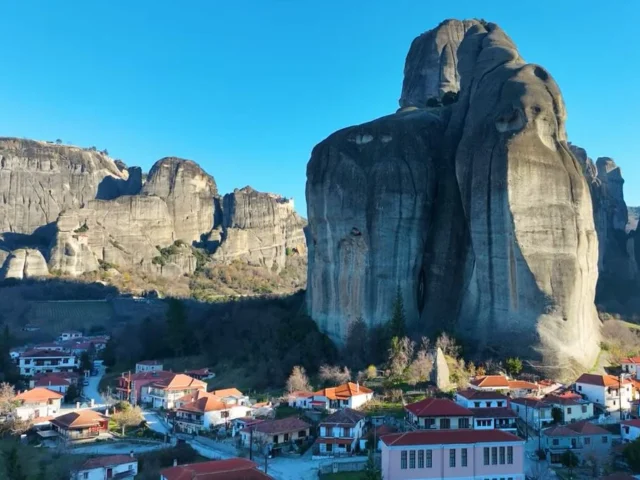
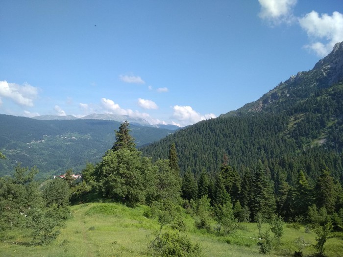
The trailhead starts at the junction of the forest road above Elati with the small tractor road leading to Gouva. This route is one of the most impressive in the area, as it passes between the towering rocks of Thyra and is the shortest way to reach the high peaks of Koziakas. To reach the starting point, one follows the road from the center of Elati towards Pano Tsionaki. Upon exiting the village, instead of turning at the junction towards Kosta/Bey, the route continues straight along the forest road towards Kalogyromandri, the Hatzipetrou Peak Refuge, where after 500 meters, a smaller forest road (tractor road) appears on the right with a sign indicating Kanalia-Tsoukhnidoula-Thyra.
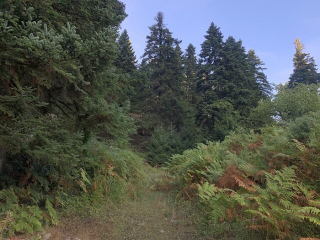
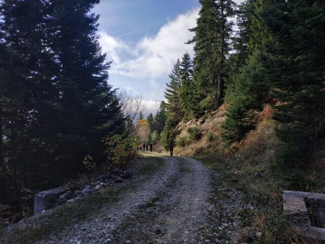
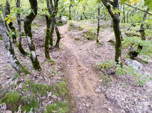
The route follows the steep, small forest road for approximately 600 meters, where, 40 meters after the first major hairpin turn, the trail leaves the road and turns right into a dense fir forest. Initially, the trail is very steep but well-marked and clearly visible. As it approaches the location Tsoukhnidoula, the terrain becomes smoother. At Tsoukhnidoula, the trail splits into two directions, both marked with the same signage. Taking the right fork at the same elevation, after 200 meters, the trail intersects with the path from Elati-Kosta. However, the main trail at the junction turns left and ascends towards the narrow passages of Thyra.
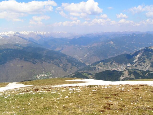
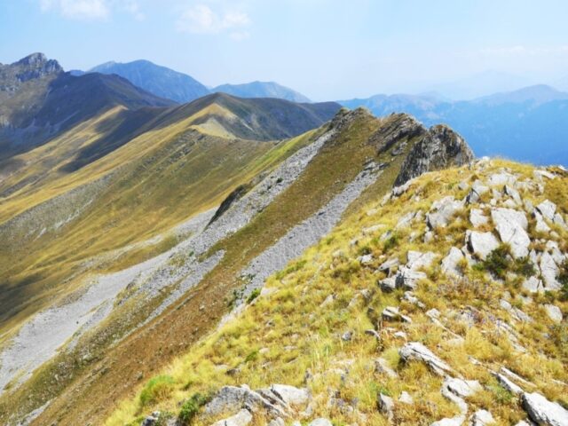
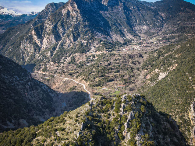
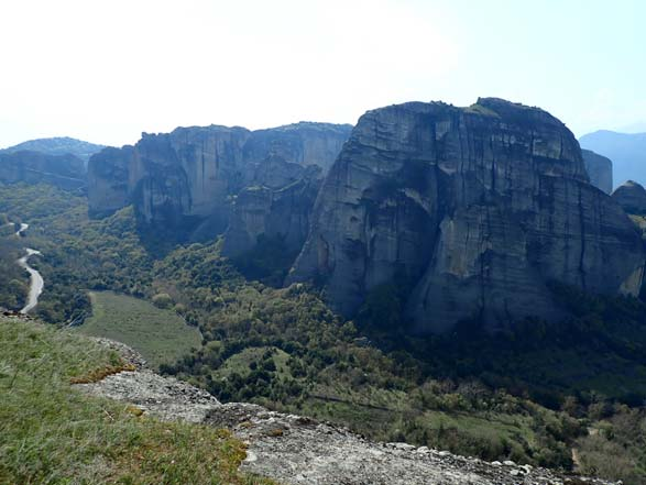
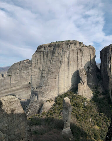
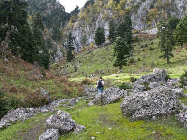
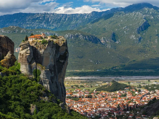
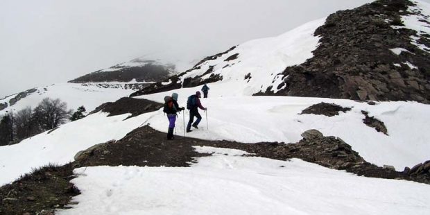
The route towards Thyra is continuously uphill, but the trail remains distinct and well-signposted. Passing between the imposing rocks of Thyra, the trail leads to a natural balcony with breathtaking views of Elati. Slightly higher, the trail (marked with a blue square) ends at the main crossing trail of Koziakas (marked with a red square). From this point, there are the following options:
a) Turn left towards Kanalia and Trypio Lithari, or
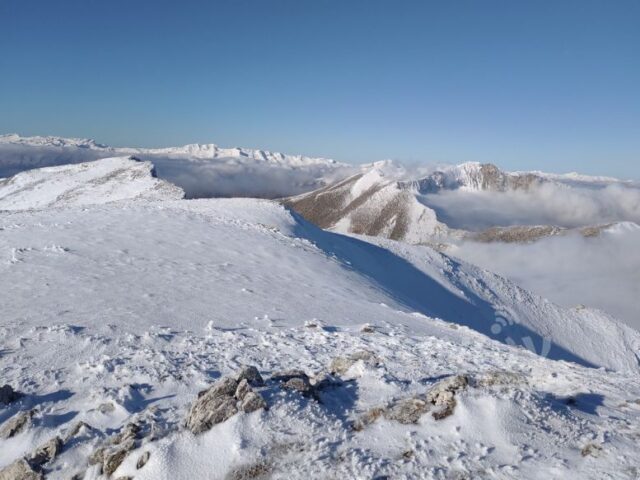
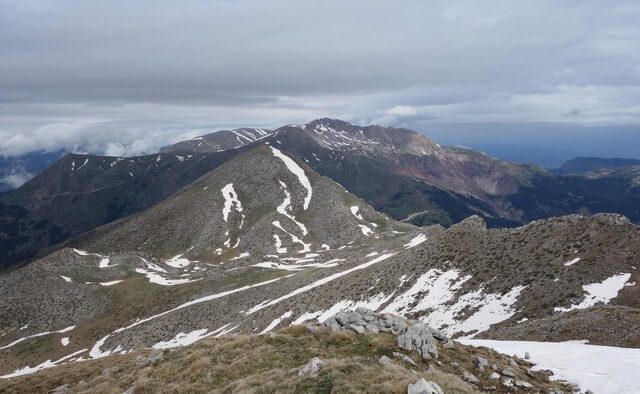
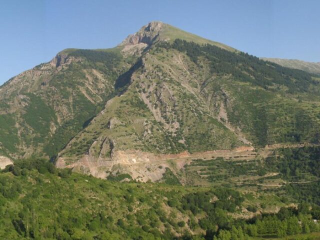
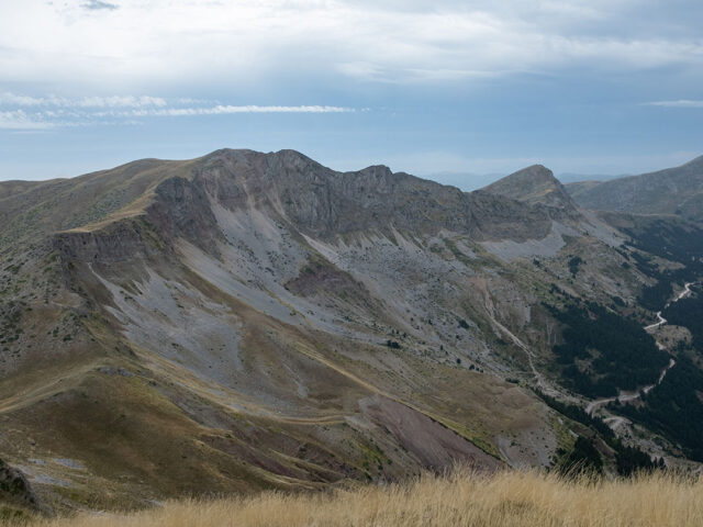
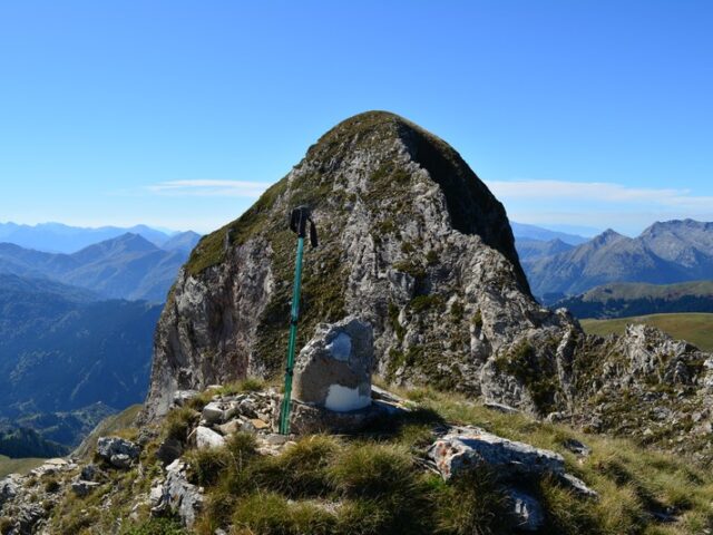
b) Turn right towards the location Mnima Papadias, 350 meters away, from where one can continue towards Kosta and Bey or ascend to the summit of Tsionki at 1,526 meters.