ROUTE E4 Koziakas Refuge – Achladia
Refuge – Elati – Vlacha – Korp – Diasolo – Stani Katatzouni – Psarro – Pano Paliokaria – Kato Paliokaria – Achladias
Address
Koziakas 420 32
GPS
39.54512535, 21.5310085
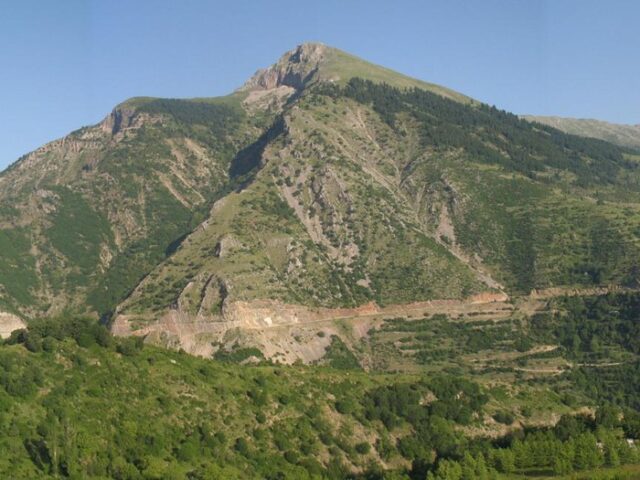
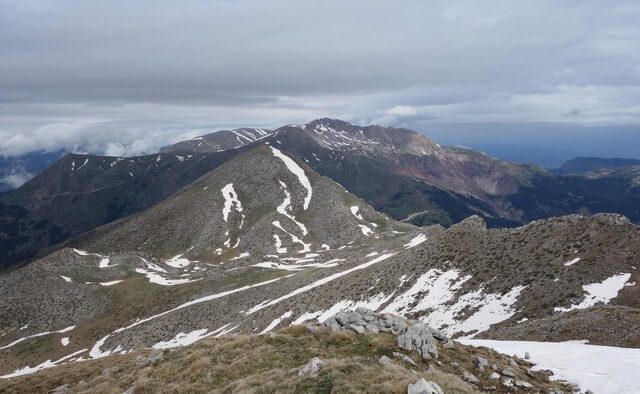
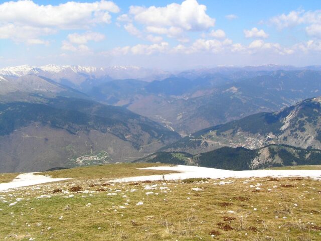
Distance 44.890,00 m | Technical Difficulty Moderate | Max Altitude 1710 m. | Duration 20 hours and 10 minutes
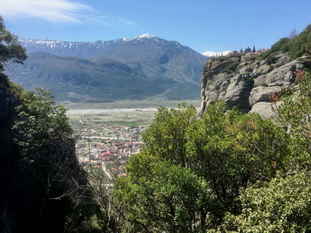
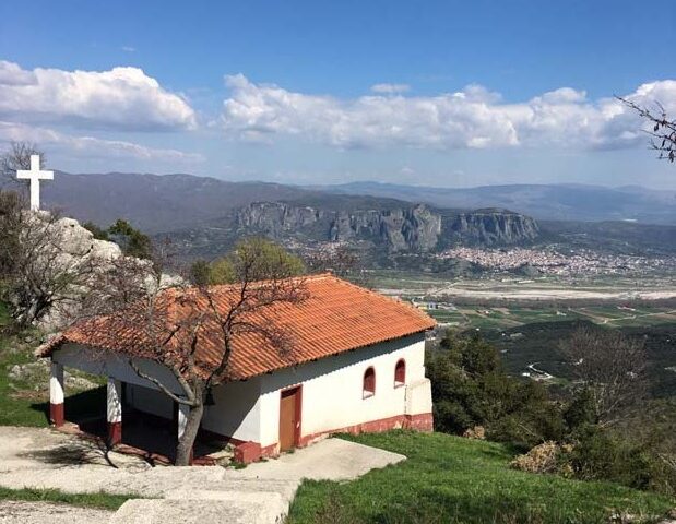
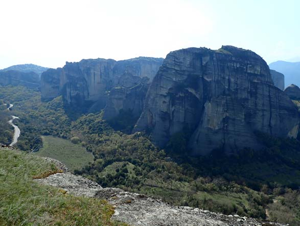
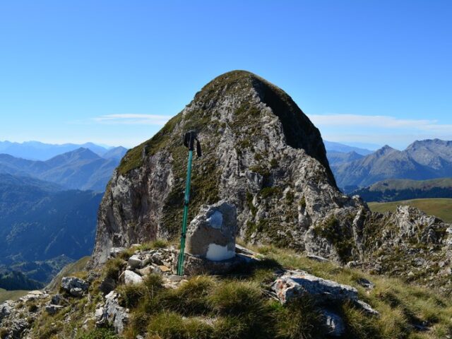
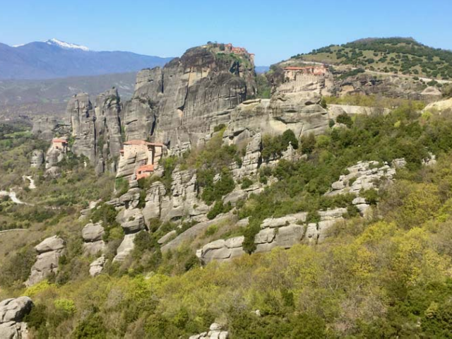
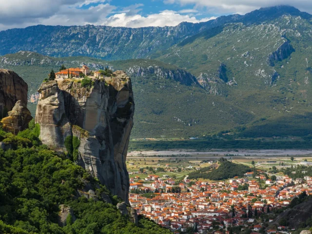
The European Long Distance Trail E4 is an international trail established by the European Mountain Hiking Association (E.W.V.) in the following countries: Spain, France, Switzerland, Germany, Austria, Austria, Hungary, Romania, Bulgaria, Greece, Spain, Switzerland and Cyprus.
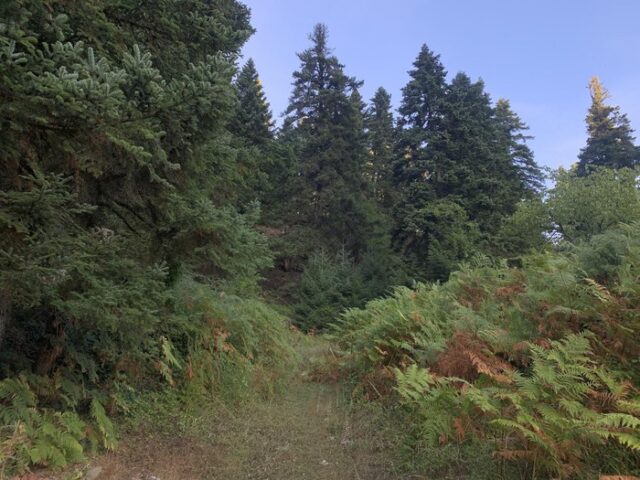
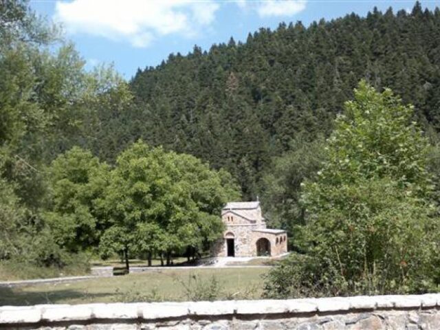
In the Municipality of Pyli, it enters from the forest of Choutiana (Municipality of Meteora) near the Koziacas Shelter and exits towards the Municipality of Argithea in the Achaldia Gap. The crossing in the Municipality of Pyli takes 3 days with overnight stays in Elati and Stournareika.
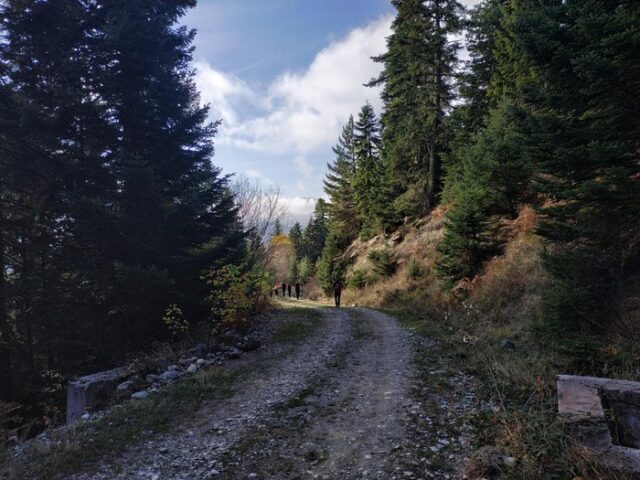
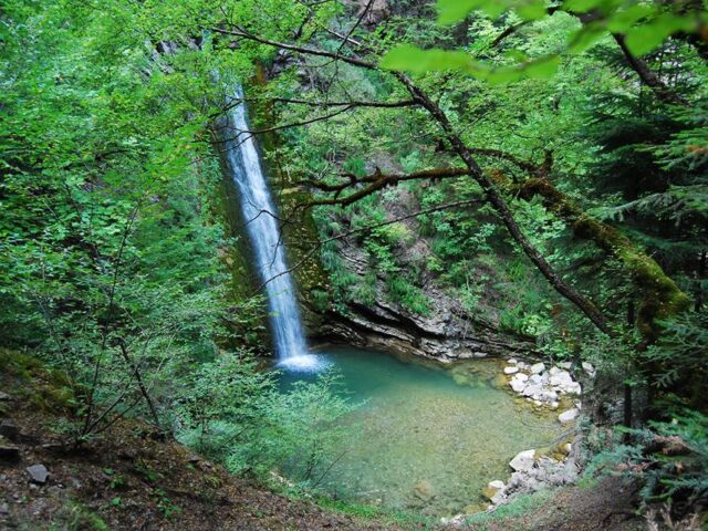
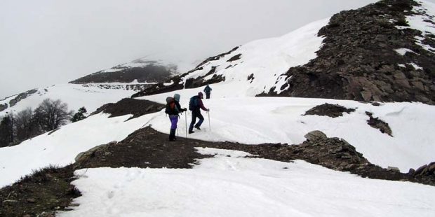
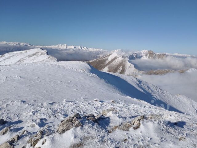
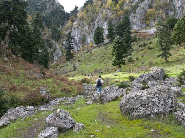
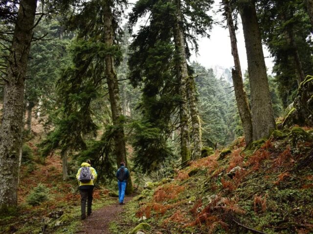
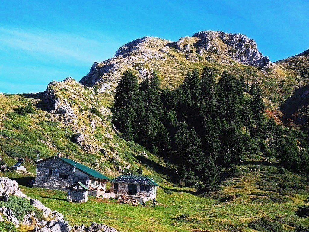
The trail climbs the staircase at Bakola and reaches the shelter where hikers can spend the night. Then passing by the Arvanites the dolina Vara, the plateau at Kalogromantri reaches Elati.
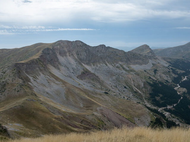
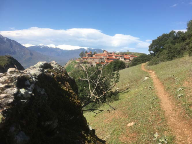
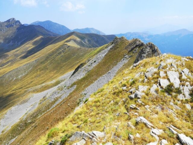
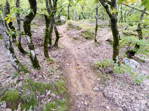
From Elati it heads northwest towards Vlacha and Korp and crosses the northern slopes from Mauropuli. Following the forest road to Karantzouni in the corral you descend to Psaro where the second overnight stay can be made.
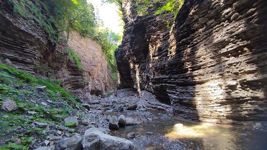
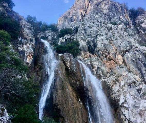
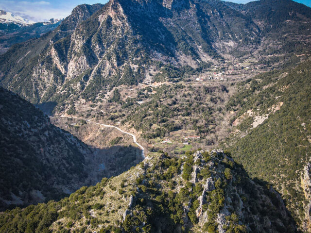
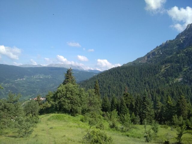
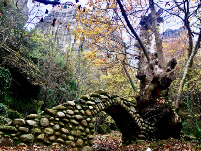
Then from Psaros it heads towards Paliokaria with the famous arched bridge and from Mesi Paliokaria following the gorge of Chira it reaches the gap of Achladia from where it exits the Municipality of Pyli and continues to the Municipality of Argithea.