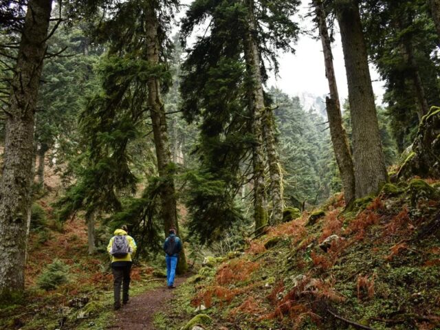
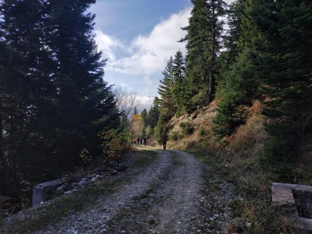
ROUTE DIAVA – Agia Paraskevi
Address
kalabaka 422 00
GPS
39.69372013352, 21.583070755005
Distance 9.588,57 m. | Technical Difficulty Moderate | Max Altitude 561,29 μ. | Duration 180 minutes
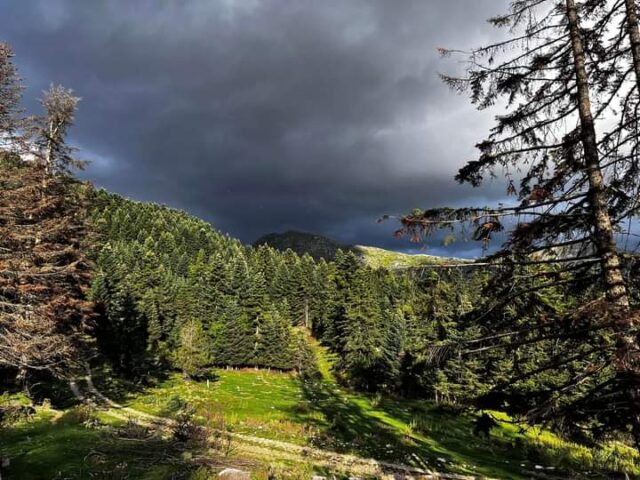
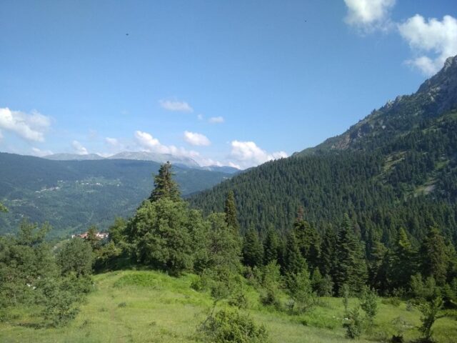
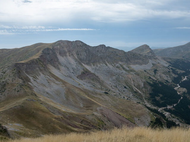
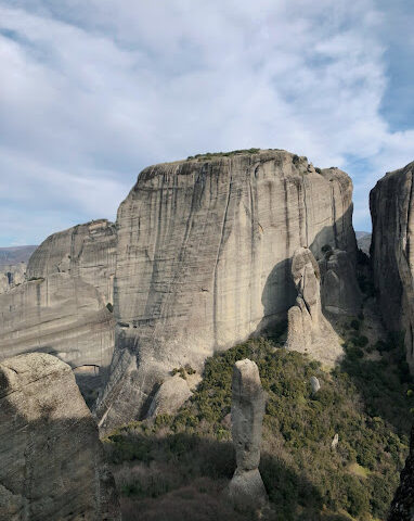
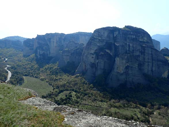
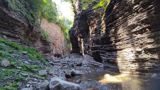
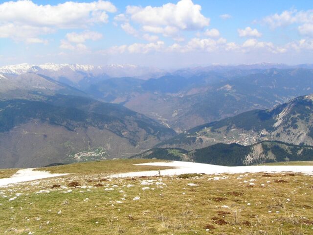
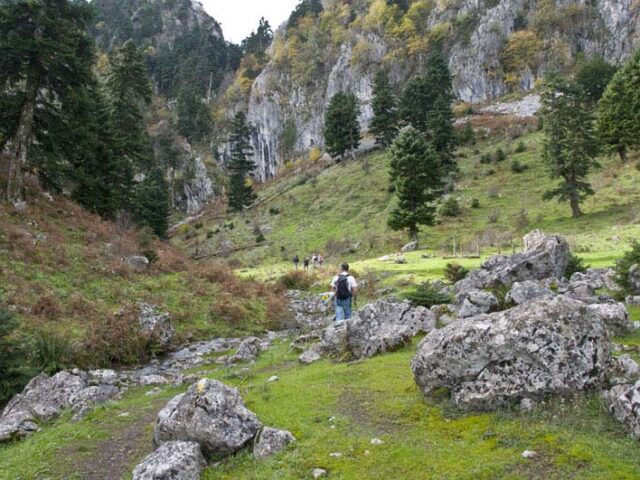
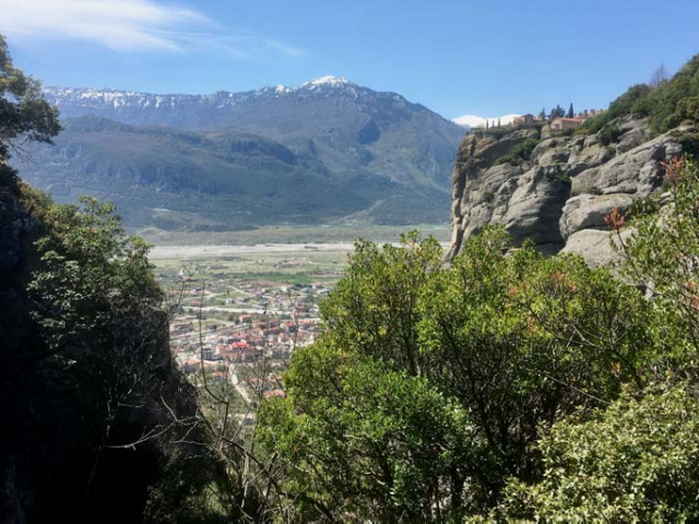
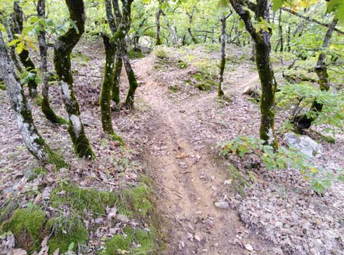
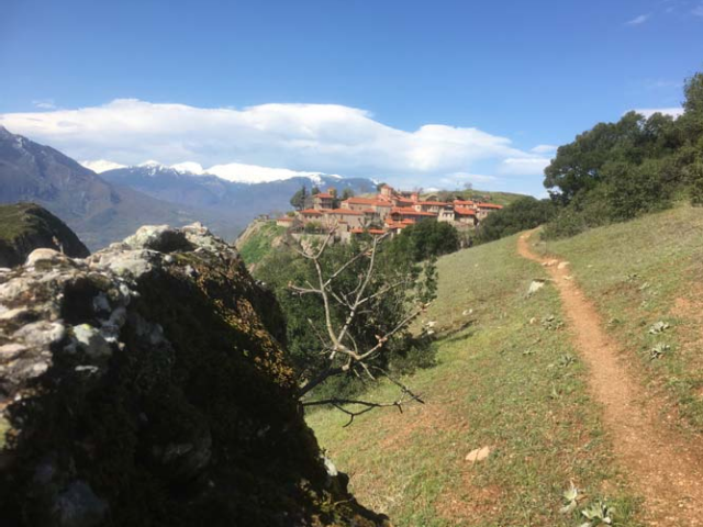
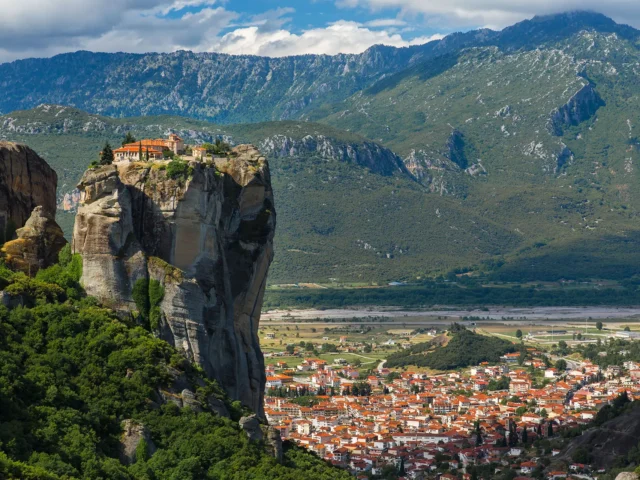
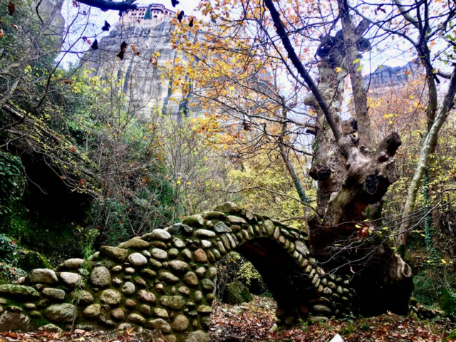
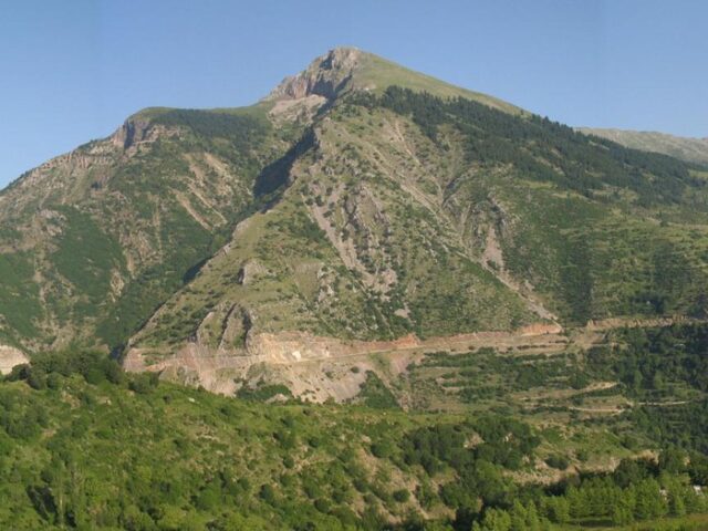
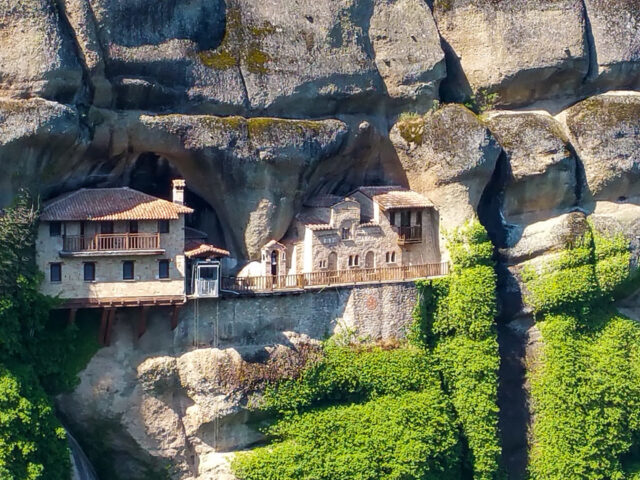
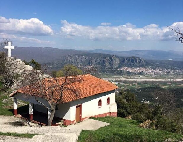
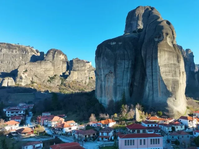
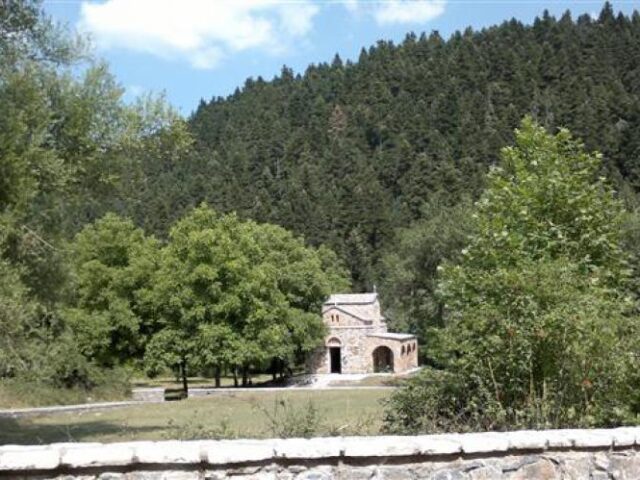
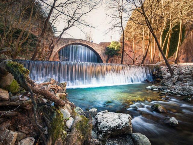
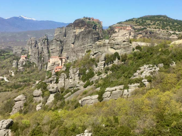
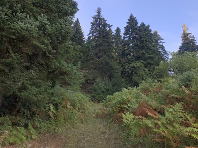
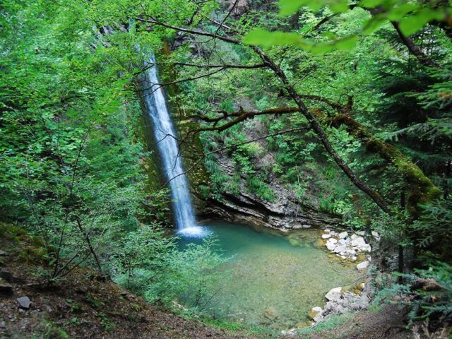
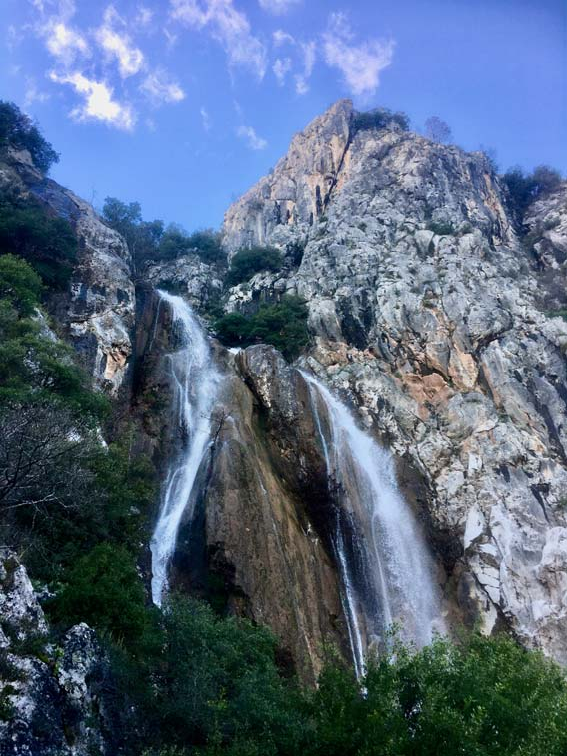
Starting from the village of Diava through the path one can reach the settlement of Agia Paraskevi. Agia Paraskevi is a settlement of the Municipality of Meteora and is located 12 km south of the city, on the slope of Koziacas, from where it overlooks the Thessalian plain and Meteora. In the so-called “balcony of Koziacas” with its 100 permanent residents live from agriculture and animal husbandry. Waterfalls welcome the visitor at the entrance of the settlement, at the “Kontena” location, also the chapel of Agios Nikolaos, the ruins of an ancient castle with a unique view of Meteora and the Gkoura springs. To the east of Agia Paraskevi flows the river Pinios, which separates it from Sarakina, while to the west the peak Solinari rises.