Address
Desi 420 32
GPS
39.55665899, 21.37197199
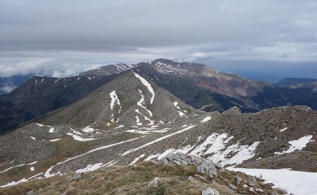
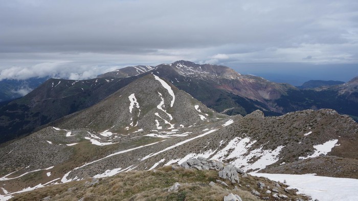
Distance 14,140.00 m | Technical Difficulty Moderate | Max Altitude 2,125 m. | Duration 7 hours and 30 minutes
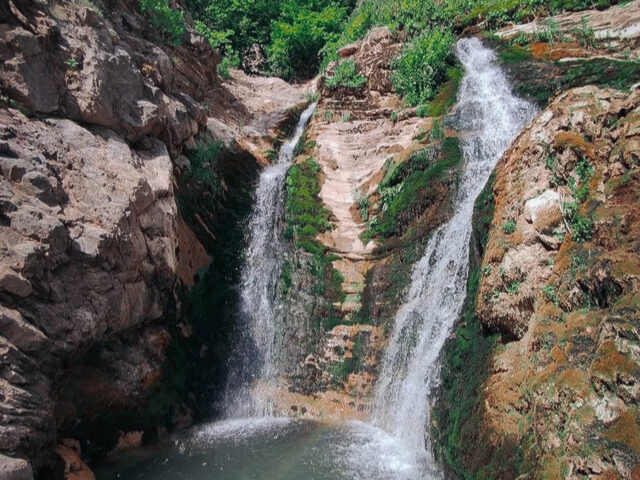
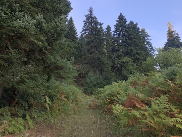
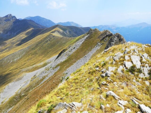
The trail starts from the main road to the villages of Aspropotamos, specifically 1.2 km before the village of Desi. The starting point is the junction with the forest road to Lego. Initially follow the forest road to Lego, at the second hairpin bend of the road there is a junction, the route makes the hairpin bend (it does not go straight). After the fourth hairpin bend and at a distance of 400 metres from it, the route leaves the forest road and heads 150 degrees to the right and back. The trailhead is not obvious but probably starts from the large clearing just up the road. It is advisable to turn right and back 100 metres before the clearing and you will find it a few metres up the road. The trail is obvious with a few old ribbons and leads to the western leg of the main major major ridge of the mountain called Sifila (South Ridge). After 400 metres of traversing on a smooth slope, the trail meets the western ridge and follows it for 800 metres until it meets the main southern ridge of the peak. The route follows the southern ridge continuously where there is an animal trail, except for a small section that drops to the ledge to the left of the ridge at 1,800 m. The ridge then meets the ridge from the west 2,050 m. (towards Cap Gras) and continues on the wider ridge to the 2,134 m. Brissyasa summit. The trail moves west after the summit and at the gap descends following a low old cobbled path to the Lego waterfall. One of the most important attractions of the area. The trail then descends diagonally down the slope and ends at the village of Desi.