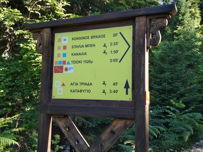
ROUTE Alexiou – Pahtouri
Alexiou – Makria Rachi (Plun) – Tsigori – Pahturi
Address
Athamania 420 37
GPS
39.525683926481, 21.251689195633
Distance 13.590,00 m | Technical Difficulty Moderate | Max Altitude 1966 m | Duration 7 hours and 50 minutes
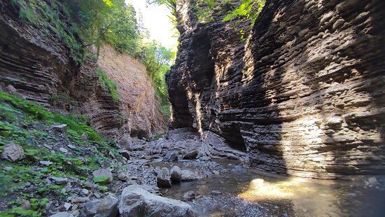
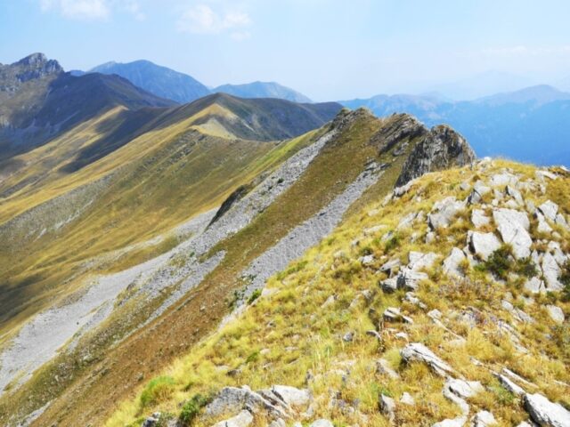
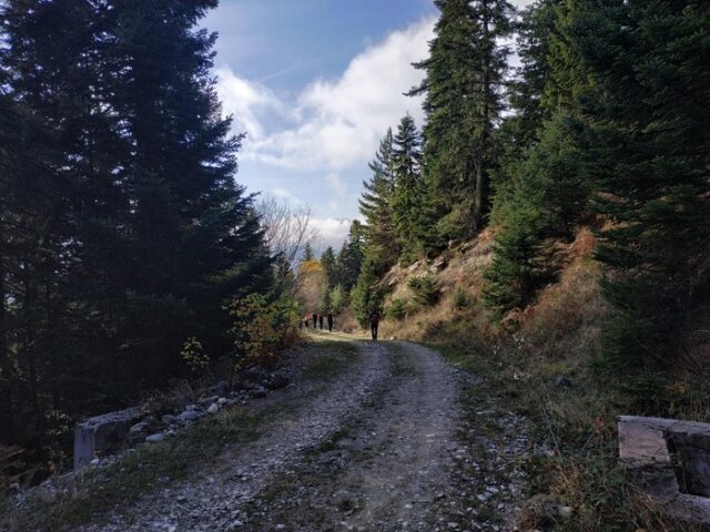
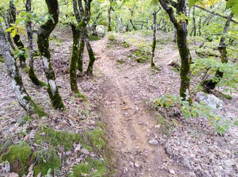
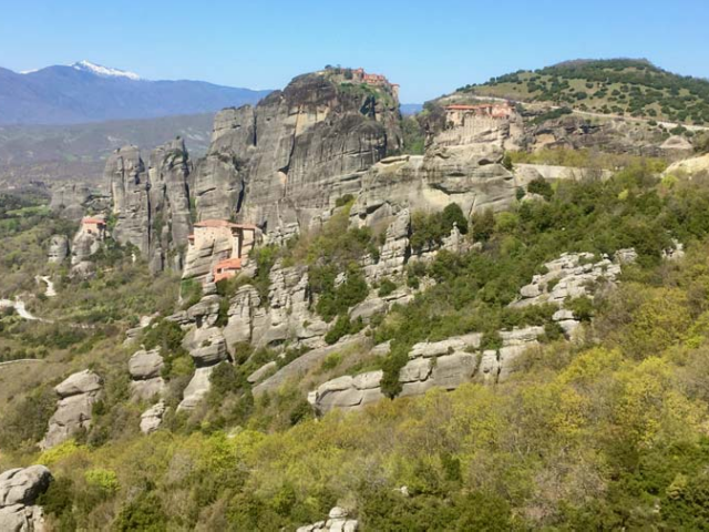
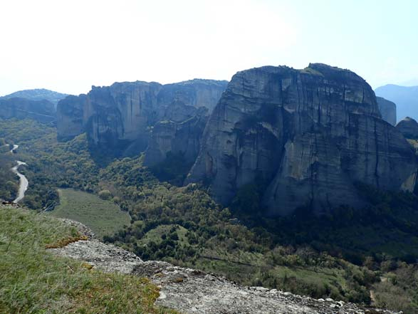
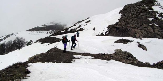
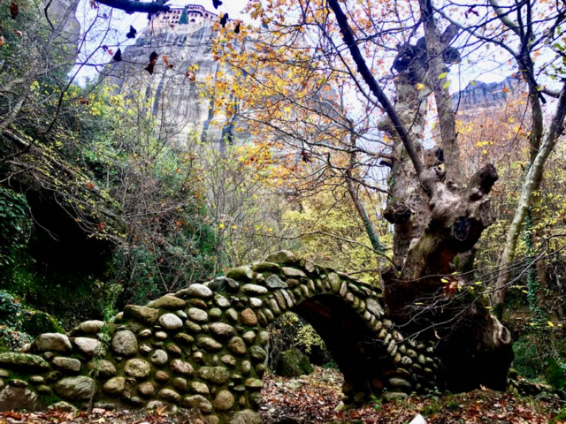
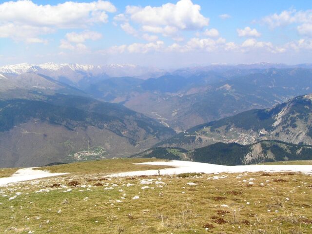
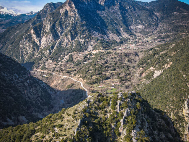
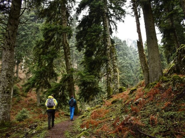
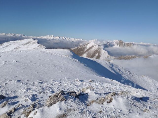
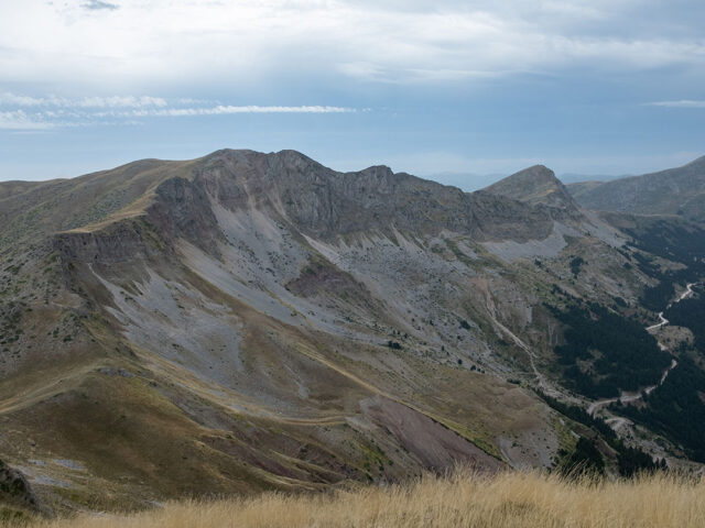
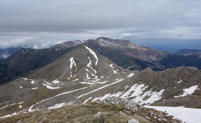
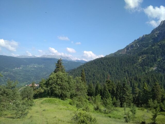
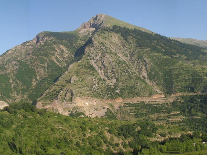
The route is the classic route for the ascent to the top of the Ploun (Makria Rachi) which is part of the Athamanian Mountains and is located just opposite the village of Gardiki. The ridge of the Ploun starts from the Moutsiaritiko stream, heading first south and then west to the Fourka peak. The trail starts from the forest road that connects Alexiou (780m) with the village of Athamania (Moutsiara). After crossing the Alexiou bridge, we follow the forest road to the right towards Athamania which is usually closed for cars since it is destroyed by the rushing waters of the Moutsiaritos stream. From the Alexiou bridge the path starts on the left which is marked with ribbons and red colour. The path is very uphill making small zeta through the dense forest. At 1400m we exit the forest to a ridge with a sloping meadow with cedar trees where the trail almost disappears. The slope increases even more and after the meadow, the trail moves to the left and leads to the main ridge of the mountain. The trail follows the ridge which is uphill and initially passes the 1708m peak until you reach the highest peak of the Long Ridge (Plune) 1944m. Crossing the long ridge the trail passes by the peak Tsigori and descends to the village of Pahtouri.