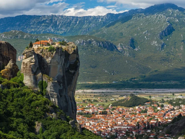
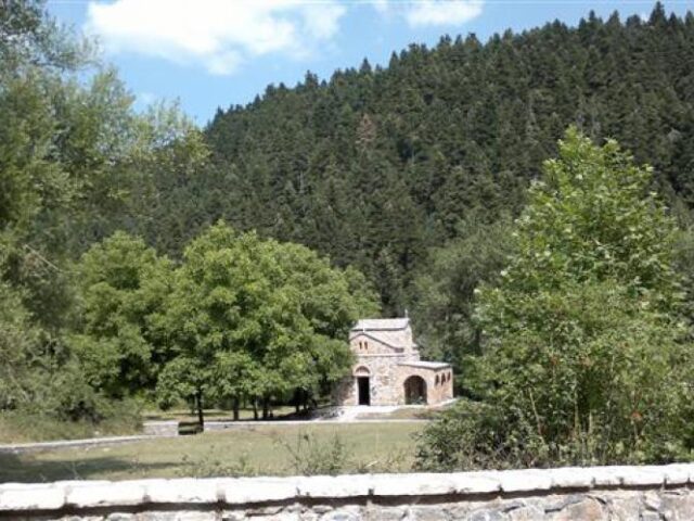
ROUTE Alexiou – Athamania
Alexiou – Gardiki – Mandria – Kakarditsa – Athamania
Address
Neraida 420 37
GPS
39.431761020853, 21.247762441635
Distance 23.400,00 m. | Technical Difficulty Moderate | Max Altitude 2429 m | Duration 12 hours and 10 minutes
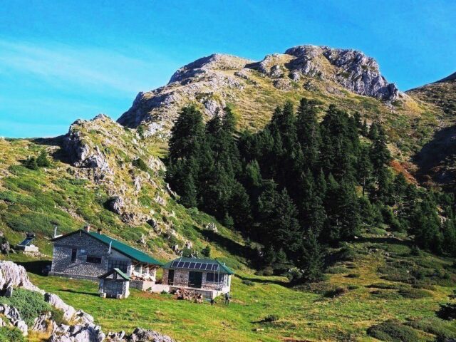
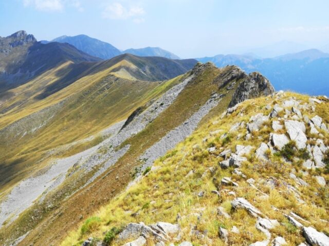
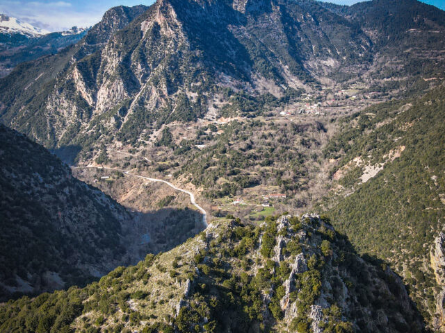
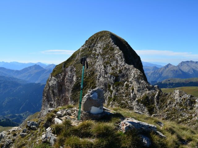
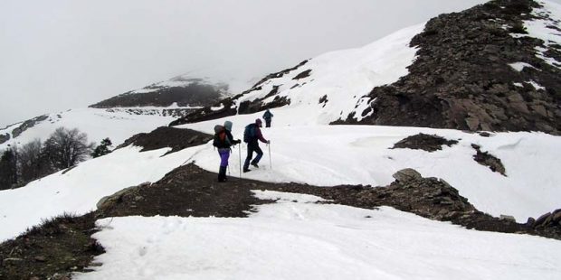
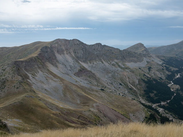
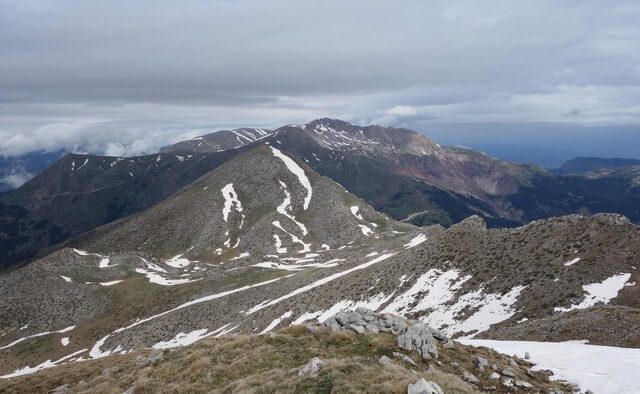
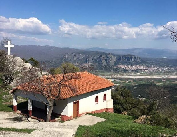
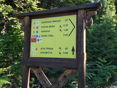
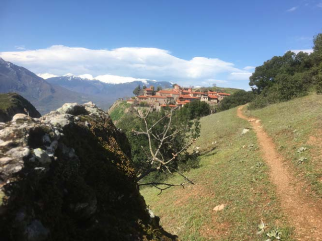
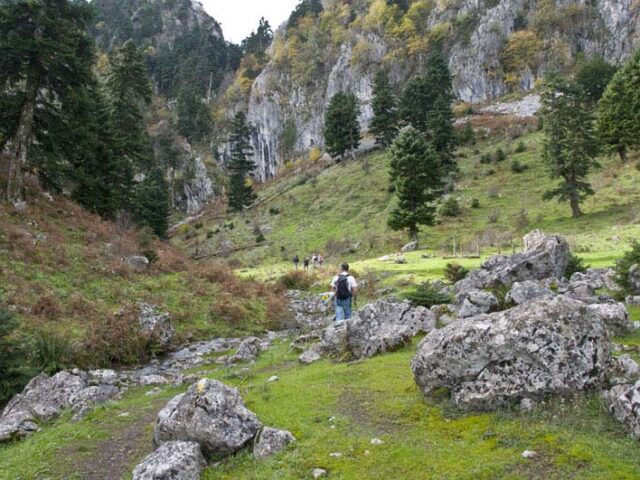
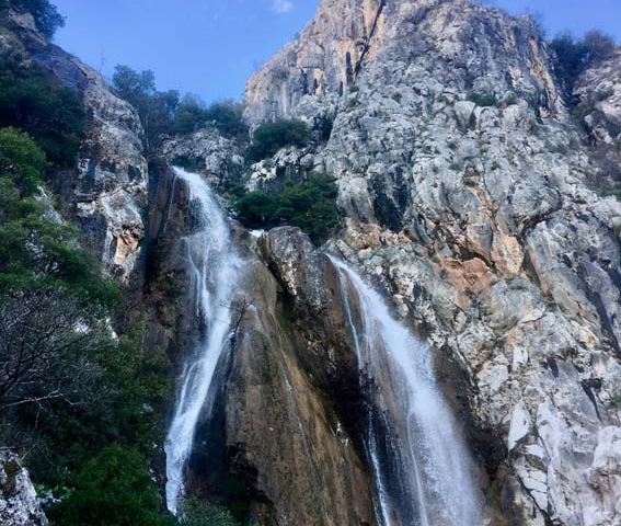
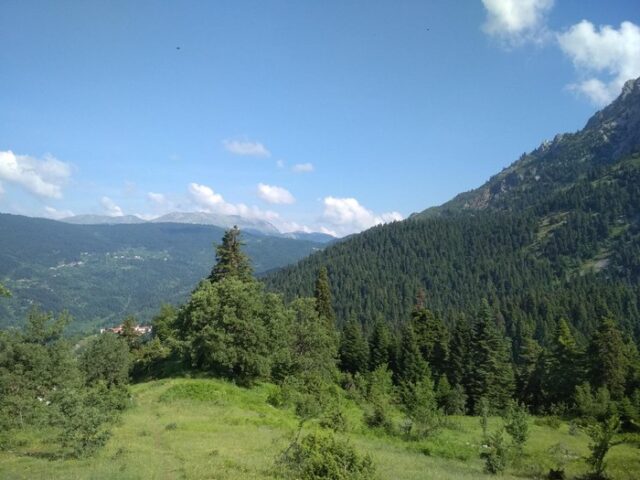
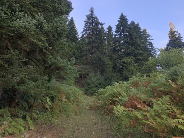
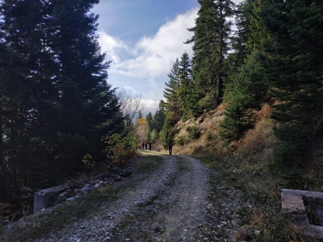
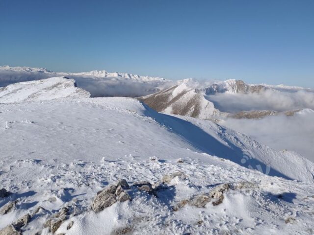
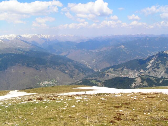
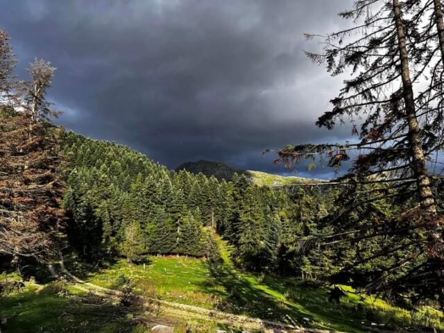
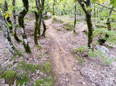
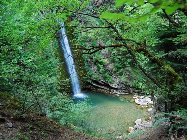
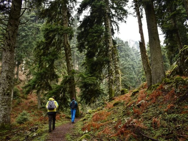
From Alexiou (Acheloos) the trail climbs up the steep slopes of the mountain and reaches a height of 24 hours and 24 hours. It ends at Gardiki (old bushes). After crossing Gardiki, it heads to the upper part of the village to the chapel of Profitis Ilias. The chapel is located above the cemetery. The route follows the forest road to the paddocks that Follow the road to the hairpin bend after crossing the two streams. At the hairpin, leave the road and follow the wooded track, turn left at the hairpin, which leads to the farmers’ huts where you meet the forest road again (Strogkillo position). At the Strogyllo position, it does not follow the road but climbs up the ridge with bushy vegetation and meets the forest road again at 1730 m. Then follow the road to the right (downhill) for 130 metres and before the stream, the path goes to the left. The path has been created by the cows grazing on the mountain during the summer months. The trail continues through the steep valley and the route becomes steeper and steeper, heading north avoiding the steep cliffs in the centre of the valley. At an altitude of 2100 m it meets small meadows on a small plateau. From here on there is no obvious trail and the ascent to the summit is free as the draw is quite long. The best option is to traverse the carpet and climb the grassy slopes up to the eastern ridge of the mountain. There are two passes on the ridge and they are climbed with the help of hands. The ridge leads to the promontory at 2400m and just behind at a distance of 150m is the highest peak of Kakarditsa 2429m. The descent follows the southwestern ridge to the Athamania plateau and from there it descends to the village of Athamania.