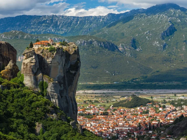
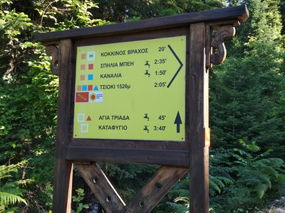
ROUTE Agia Kiriaki – Alexiou Bridge
Agia Kiriaki – Vrisi – Neraida Peak – Batis – Tsiuma – Britsiasa – Kappa Gras – Alexiou
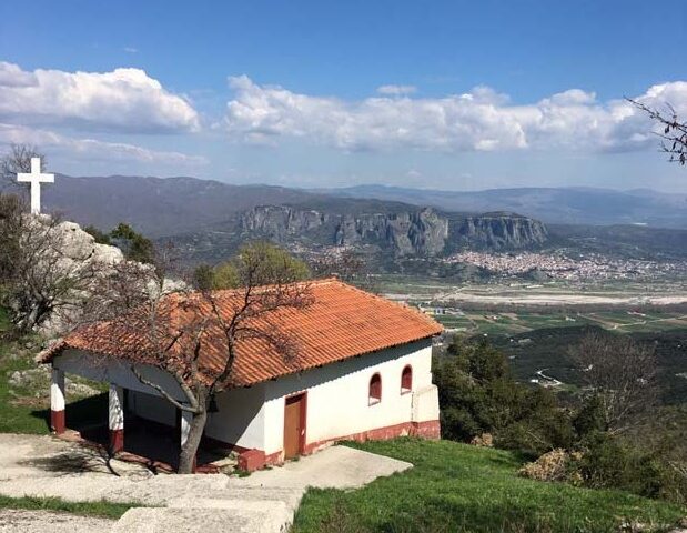
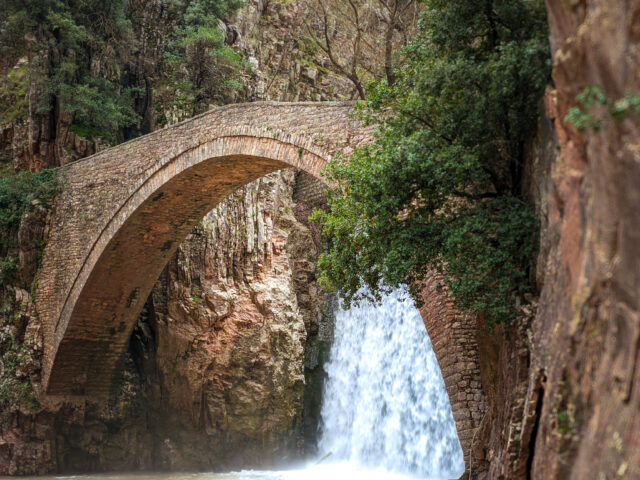
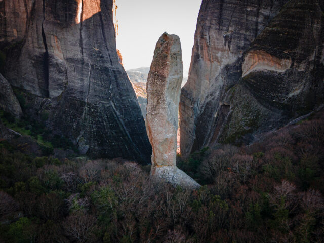
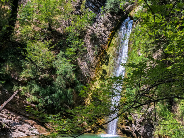
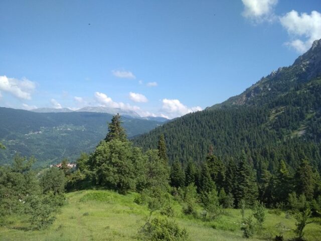
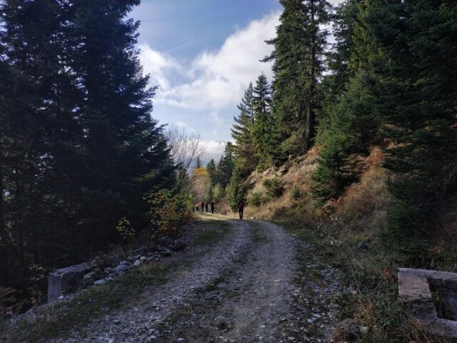
OLYMPUS DIGITAL CAMERA
Address
Pertouli 420 32
GPS
39.556181766345, 21.512174606323
Distance 44.890,00 m | Technical Difficulty Moderate | Max Altitude 1710 m. | Duration 20 hours and 10 minutes
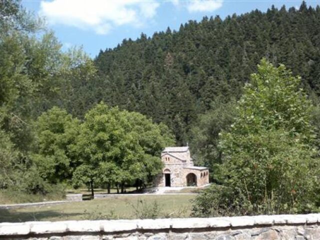
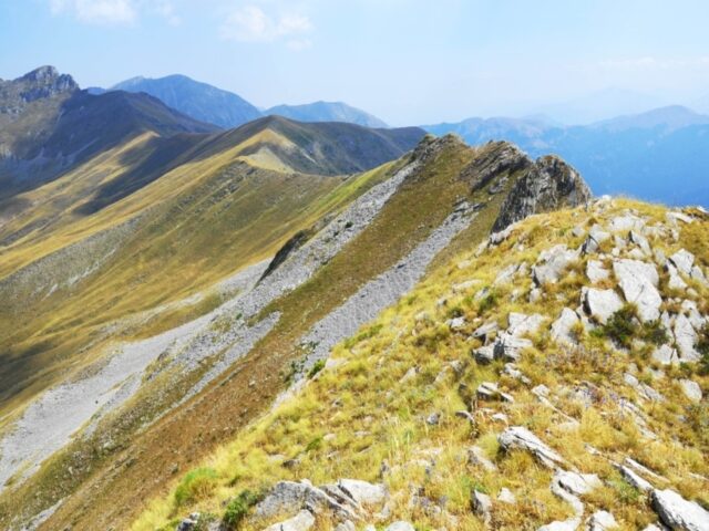
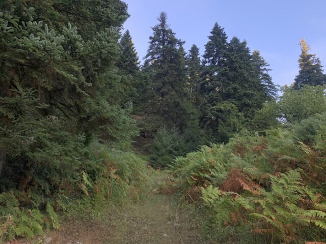
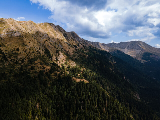
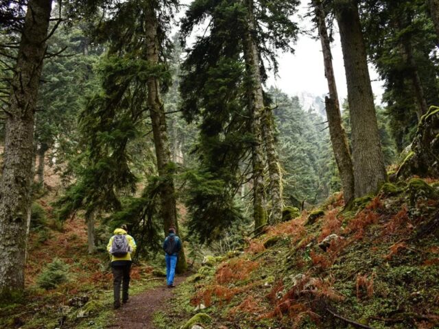
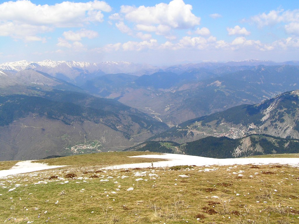
The route starts from the church of Agia Kyriaki (1160m) in the meadows of Pertoulion where there is a fountain. Initially follow the main road to Pertouli for 50m until you meet a junction with a forest road to the right (the forest road has a barrier). At this point we do not follow the forest road but the ridge that starts just to the left of the barrier (just at the junction of the asphalt road and the dirt road the path starts). This ridge is very smooth both in width and in ascent gradient and leads us easily higher where we meet the forest road from Pertouli to Chrysomilia at 1320 meters. We follow this forest road for 50 metres to the right where there is a junction with a minor road going uphill. Follow the minor uphill road for about 1500 metres. We leave this road at the third hairpin bend we encounter (the third hairpin bend is on the right). A few meters after the hairpin turn left through sparse forest and wings, heading for the stream on your left. The trail traverses the right side of the stream and eventually ends up in it. Almost inside the stream is a fountain with a drinking water fountain. Climbing a little higher, 150 meters above the fountain, the road we had followed earlier passes by. After walking a few metres along the road we take the side tracks (initially a tractor track) leading to the water collection wells for the taps lower down. From there we continue our ascent by the small but obvious trail, which heads north and traverses the long eastern slope of Boudoura. The trail’s draw is short for most of its length but as you approach the summit the trail disappears and the climb is more uphill through green slopes (pastures). Making a short zeta we come out on the main ridge and following the ridge we reach the Boudoura peak 2074m. From Boudoura peak we start to descend, always moving next to the steep crags on the north side of the mountain. At a distance of 500 metres from the summit there is a steep grassy slope which we descend carefully down to the neck between the Boudoura and Bati peaks (point DL-11) with an altitude of 1802m. After the neck, the path climbs gradually and traverses the northern side of the Batis promontory and ascends to Batis 1959m from
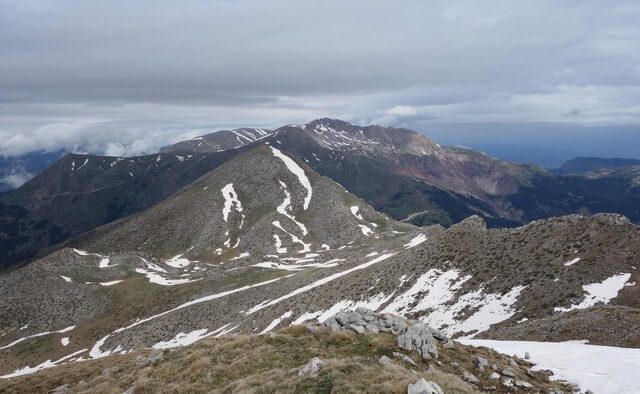
from the southern slopes. From here on the route follows the ridge descending smoothly down the gap (1840m) to the peak of Tsouma and climbing with a steep slope to the peak of Tsouma 2055m After the peak of Tsouma we continue to go parallel to the ridge but a little lower on the southern sides of the mountain until the highest peak of Neraida called Briciana 2144m which is located in the middle of the mountain and the route. From the Briciana peak we descend southwest 300m in elevation where the ridge becomes much smoother and the north side is much smoother than the south side unlike what it was up to here. The smooth ridge is a pasture. We soon pass a weather station to measure wind speed. The ridge becomes even flatter and the route passes the peak called the Great Tower with the highest peak at 1938m. Shortly after the peak there is a small Doline that holds water most of the year. The route crosses the ridge called Moutsoria until the Three Borders (1824m) where the mountain splits into two major ridges the one we follow to Cap Gras and the one of Xerovouni heading southeast towards the village of Agios Nikolaos. The ridge we follow to the big cone of Kap Gras has some steep passages at the beginning but is smooth as we approach the top. At the smooth summit of Kap Gras 1931m there is a small shepherd’s hut and we have a view of Aspropotamos. The descent is south west to the Alexiou site from where it connects with the Gardiki trails.