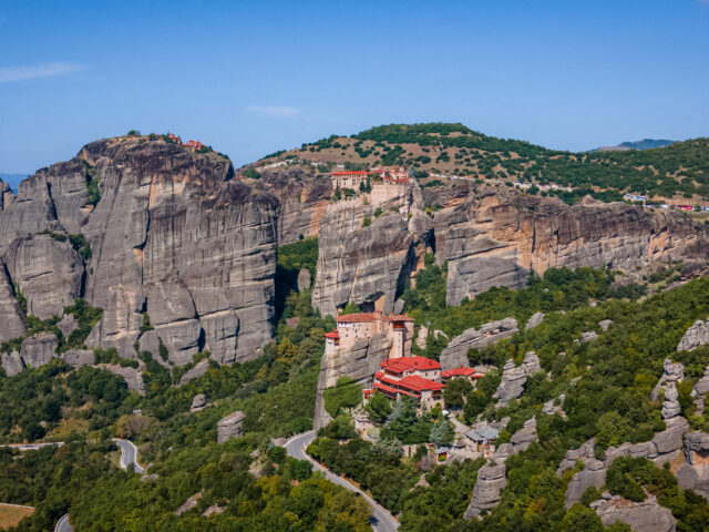
Portaikos Valley
Address
22nd km of the national road Trikala – Arta, Pyli 420 32
GPS
39.460723358432, 21.600370941976
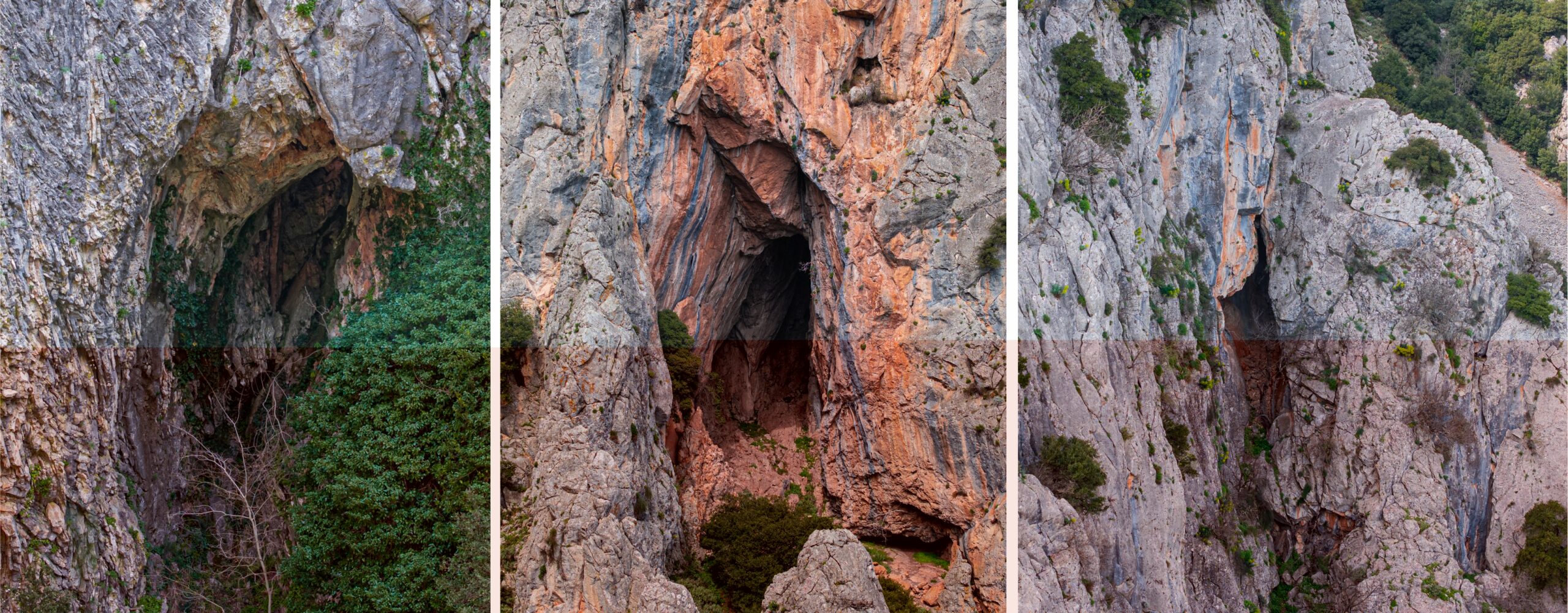
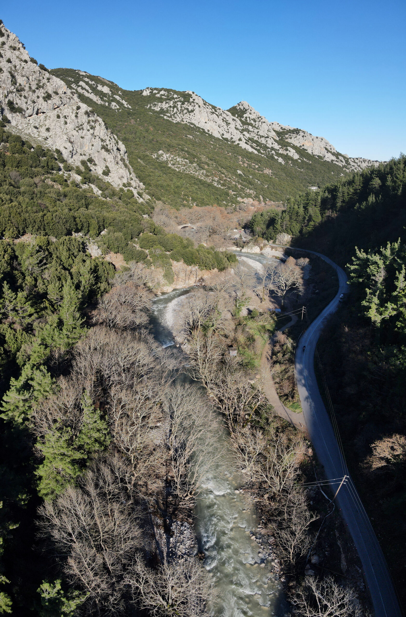
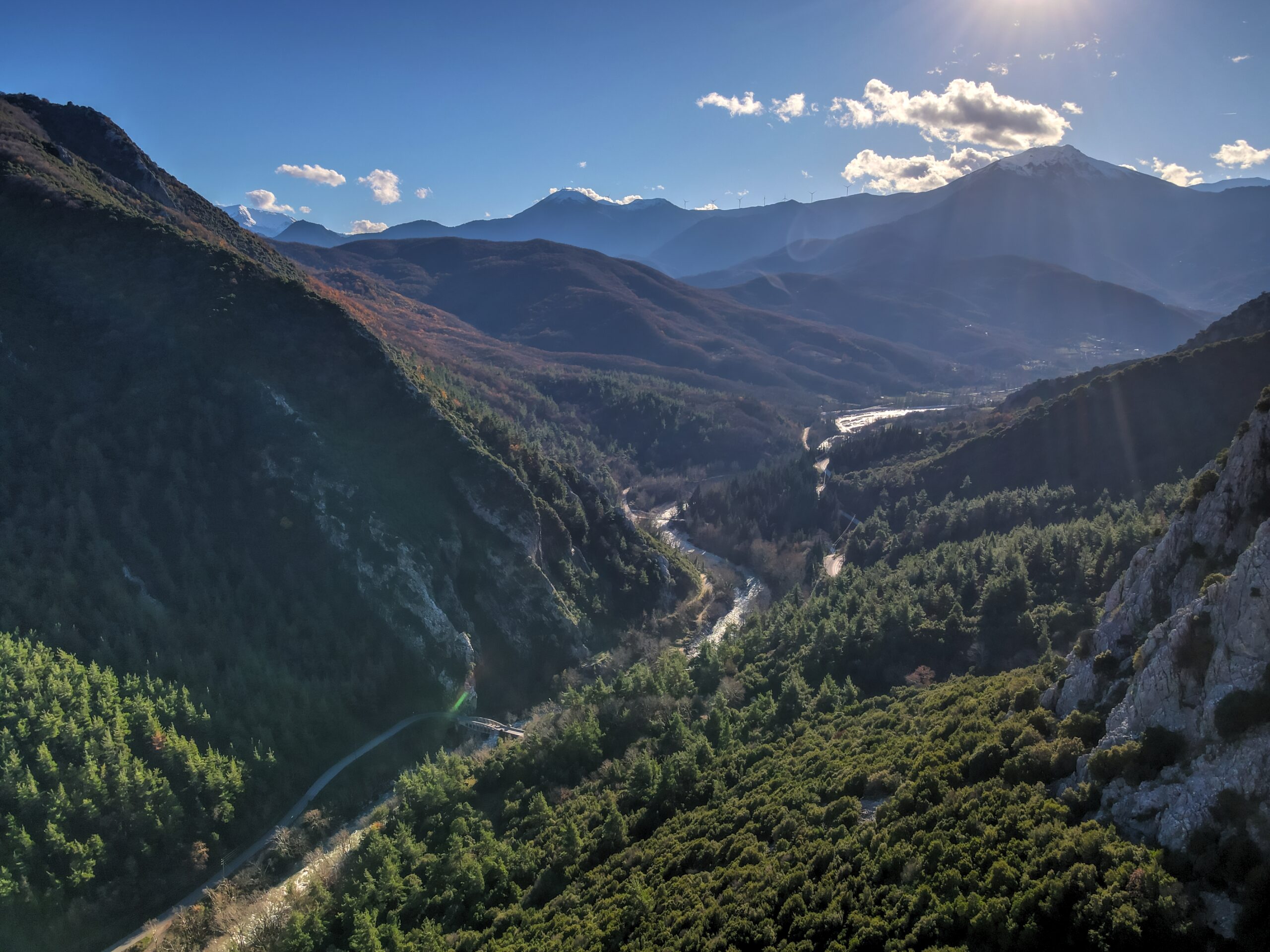
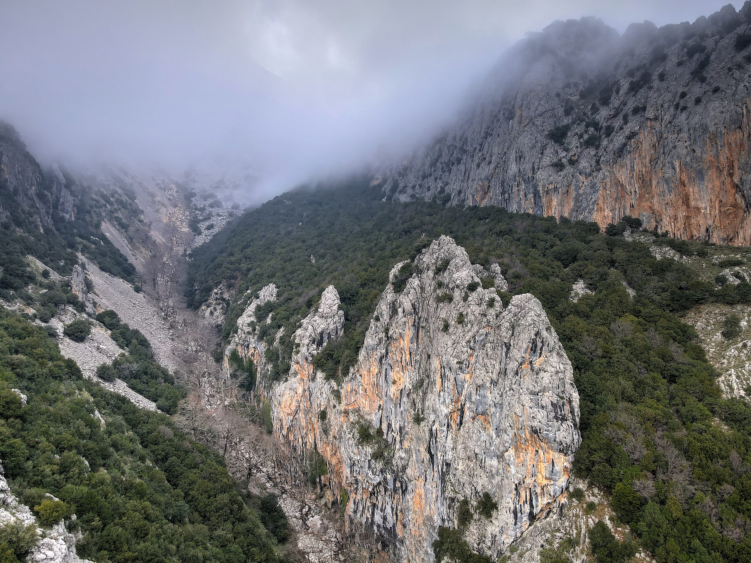
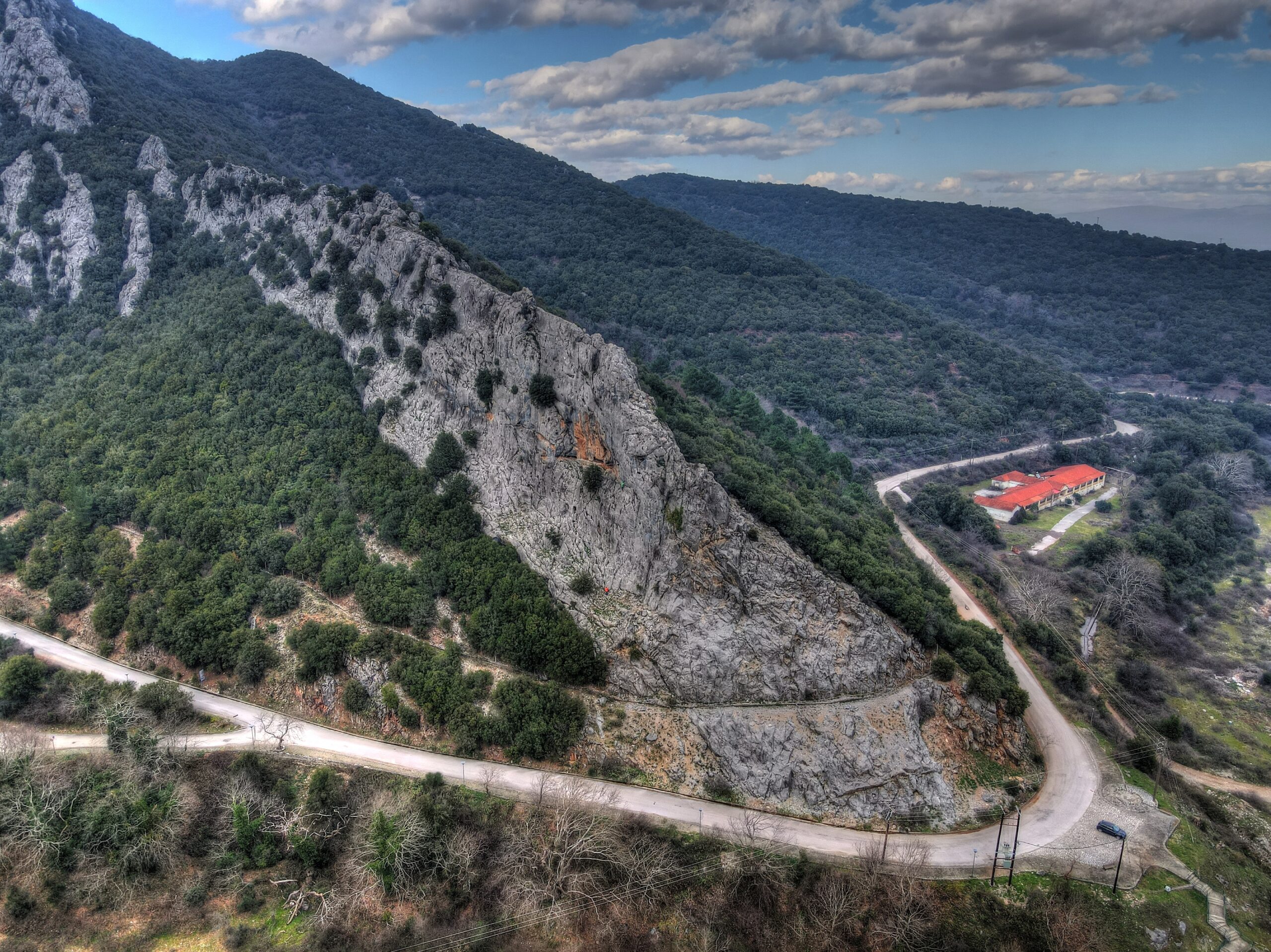
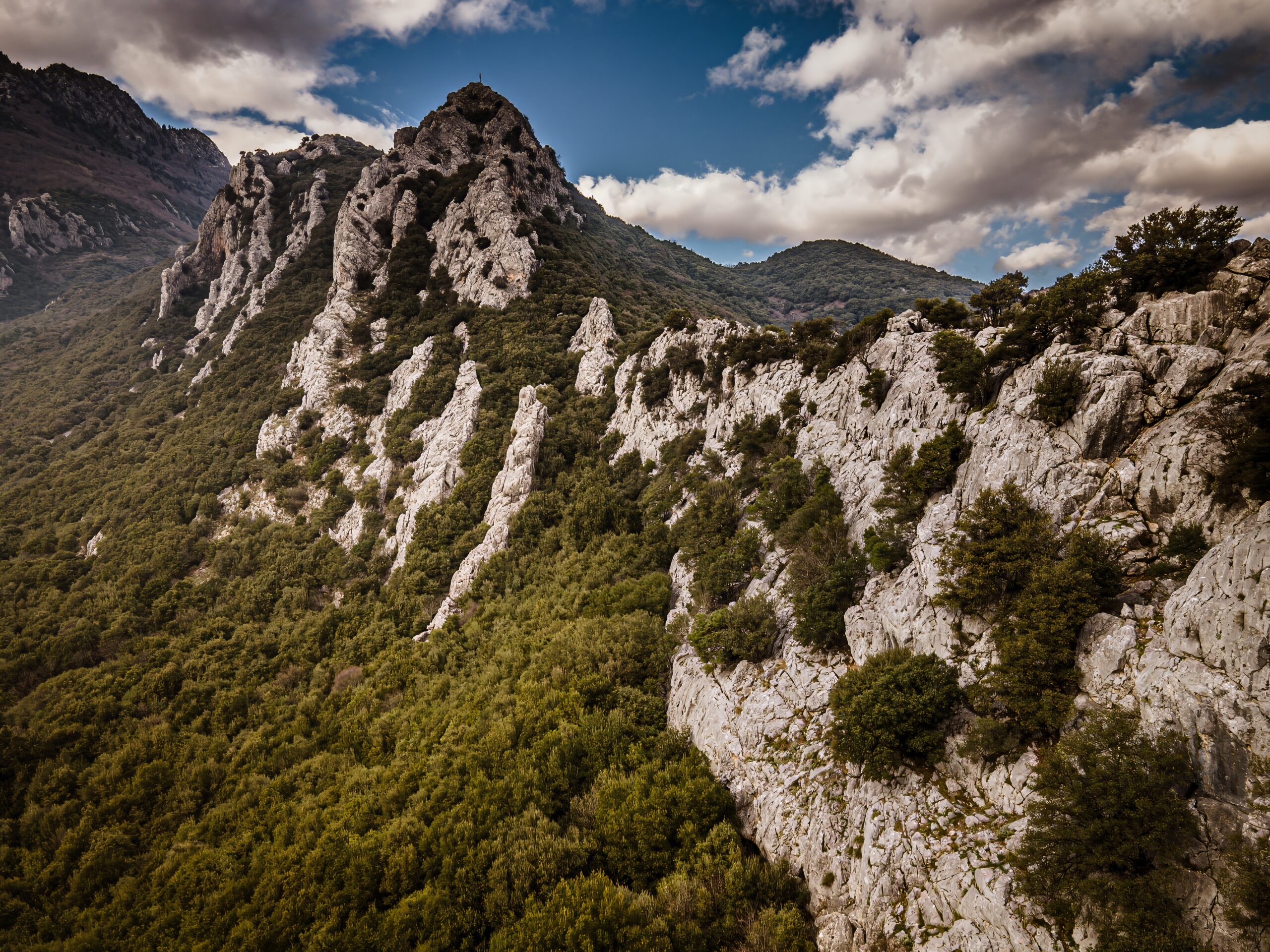
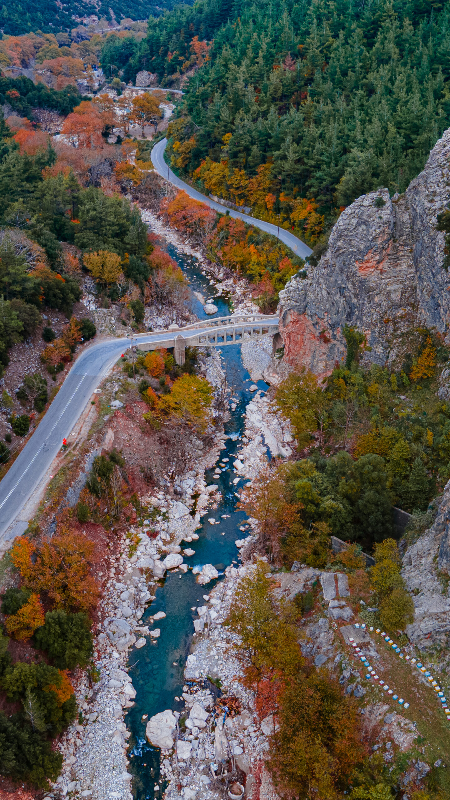
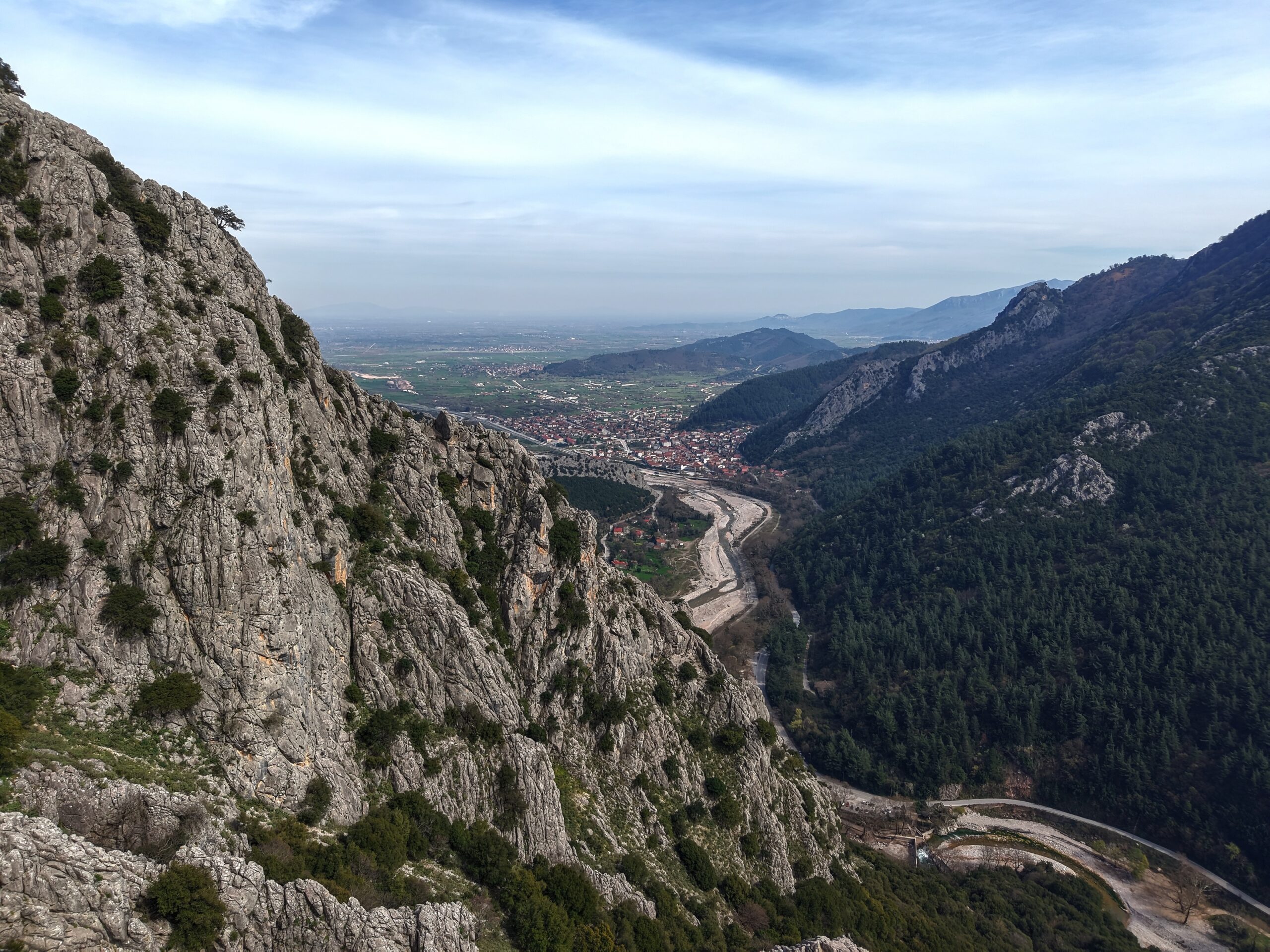
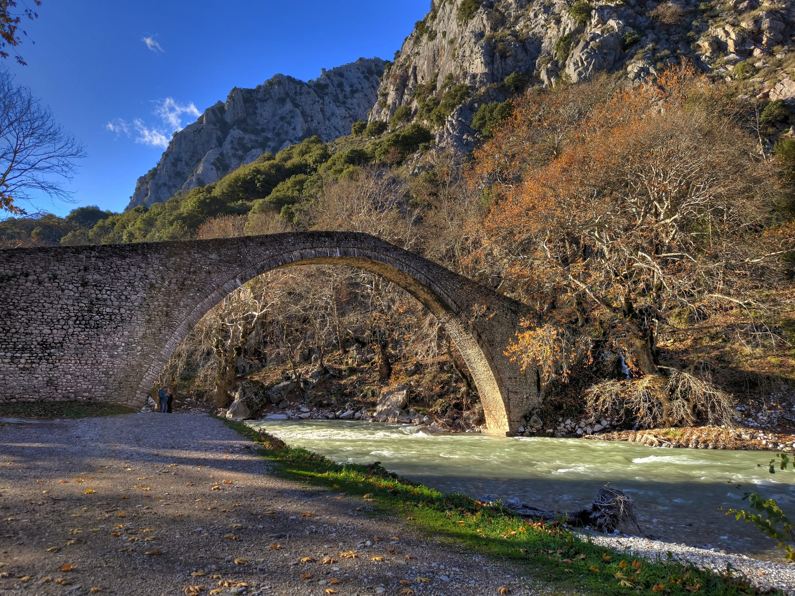
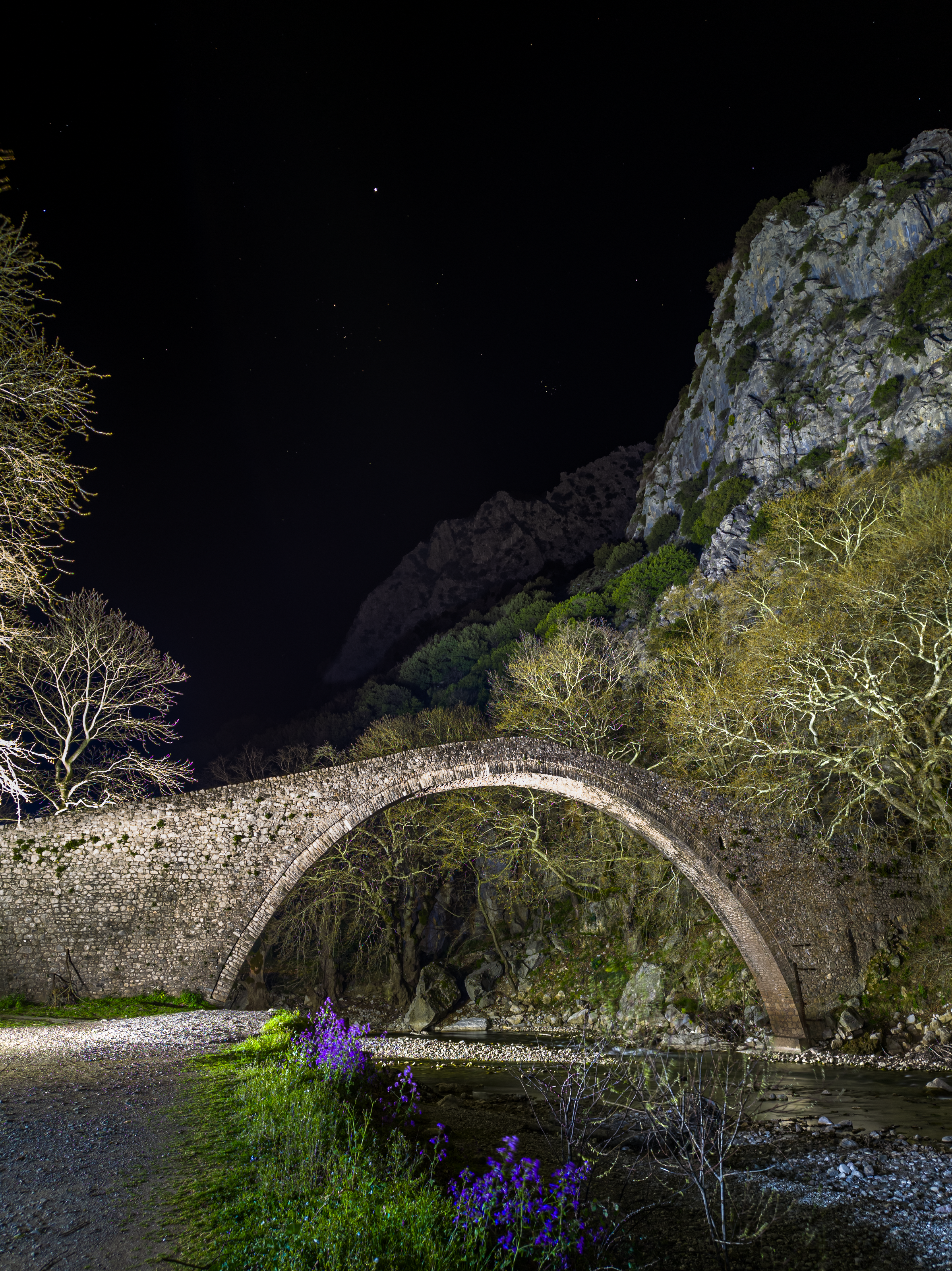
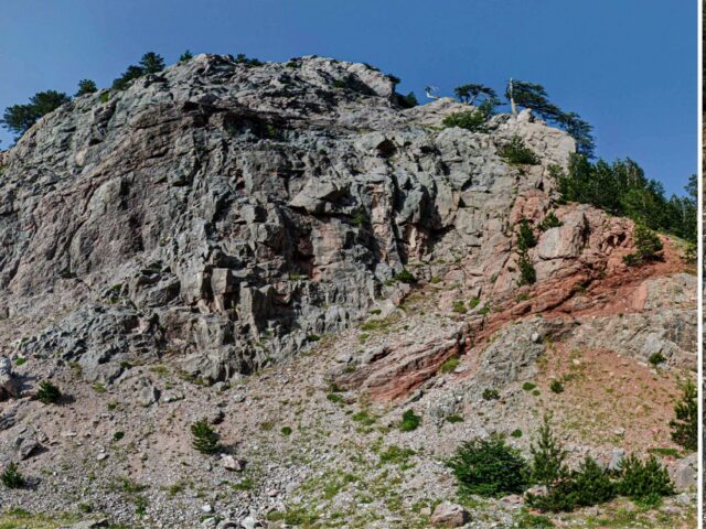
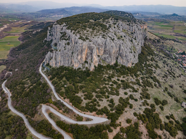
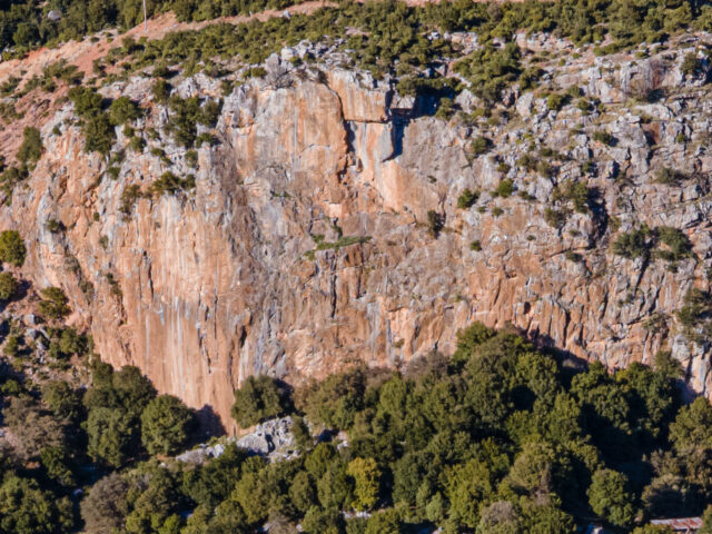
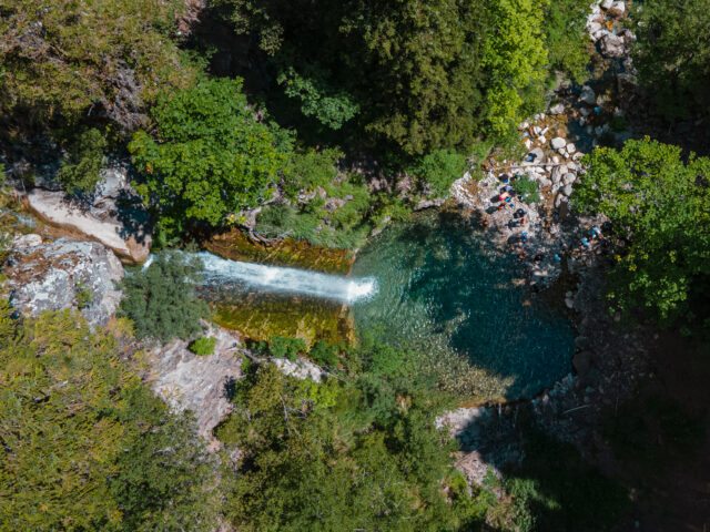
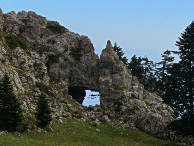
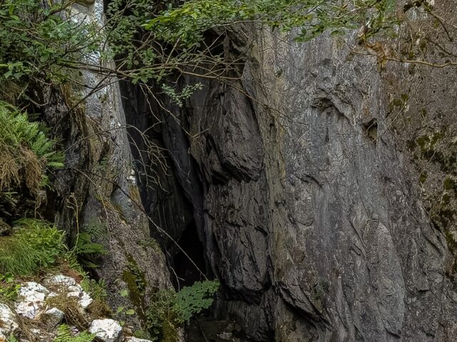
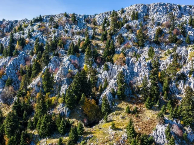
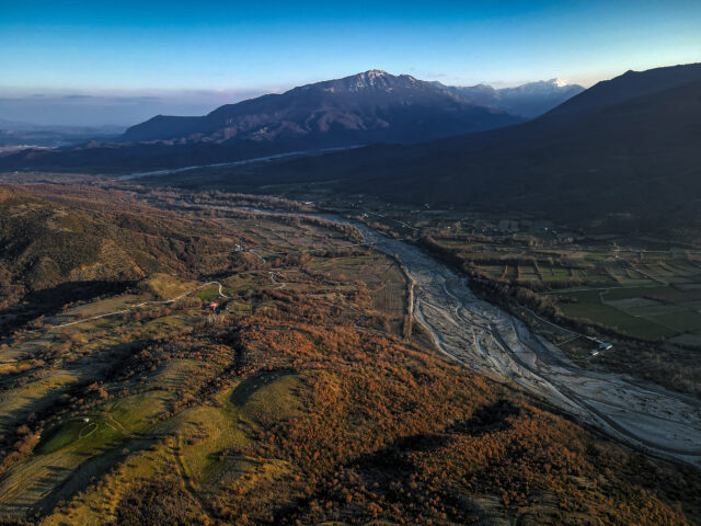
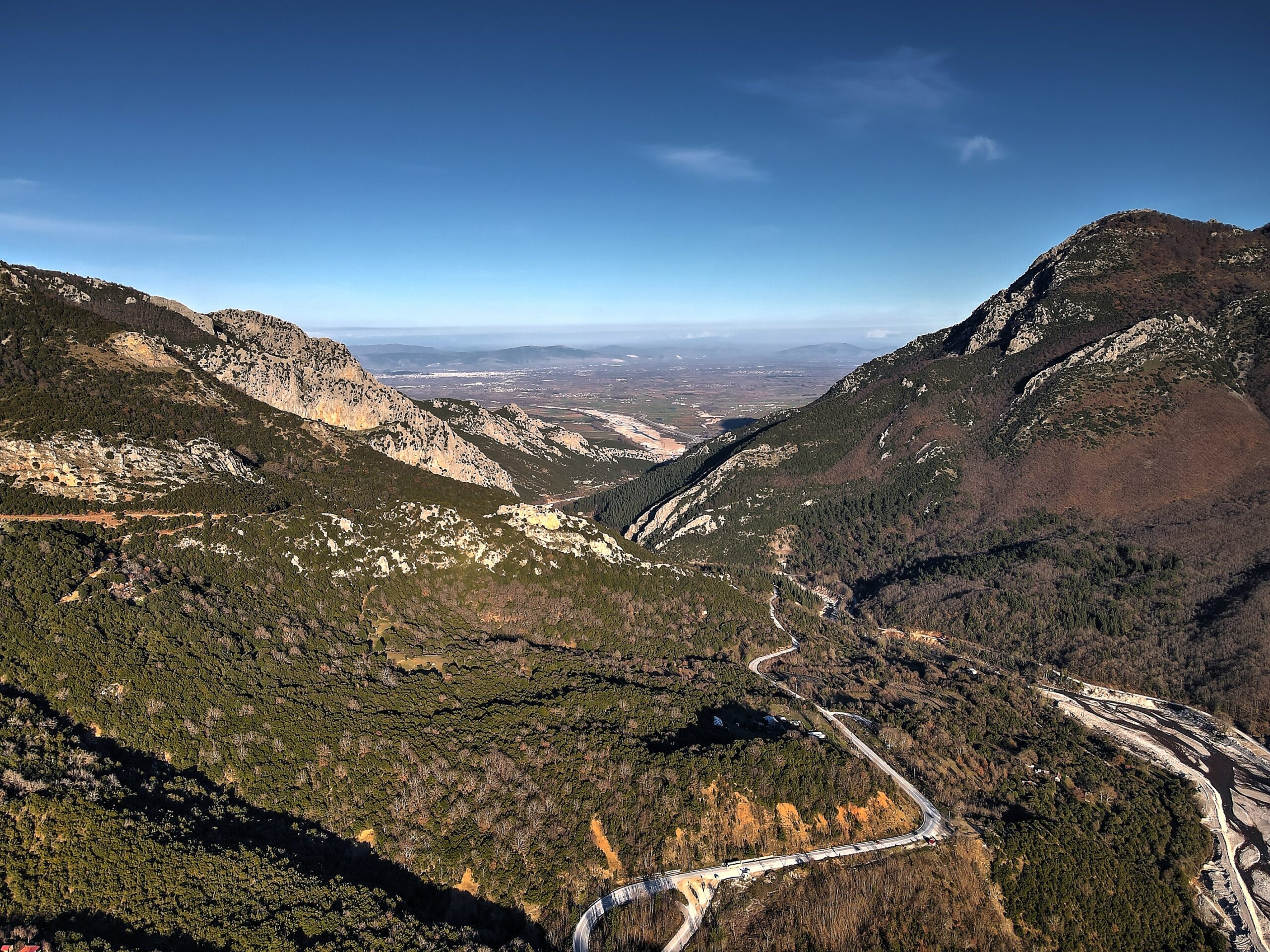
The Portaikos Valley is an exceptional geotope full of natural beauty. It is crossed by the Portaikos River. The Portaikos river drains the southwestern part of Trikala. The total area of its drainage basin is 294 square kilometers. The main branch of the river starts from Stournareika in South Pindos, at an altitude of 1,600 meters. Then its course cuts almost vertically through the Koziakas mountain range and, after passing through Pyli, joins many smaller tributaries before finally flowing into the Pinios. The main riverbed has a total length of 32 kilometers with the characteristic that it is located next to the southern hydrocrit of its hydrological basin and this has the consequence that its overall hydrographic network presents a completely asymmetrical development around its main branch. At the beginning of the valley we find the Byzantine church of Porta Panagia (1238 AD) and immediately after the stone bridge of Pyli (or of Agios Bessarion or Porta) which was built in 1514 AD. The visitor can explore the valley’s paths, while on the steep slopes there are climbing areas. Several small caves and rock shelters are found in the karstified limestone rocks of the valley.
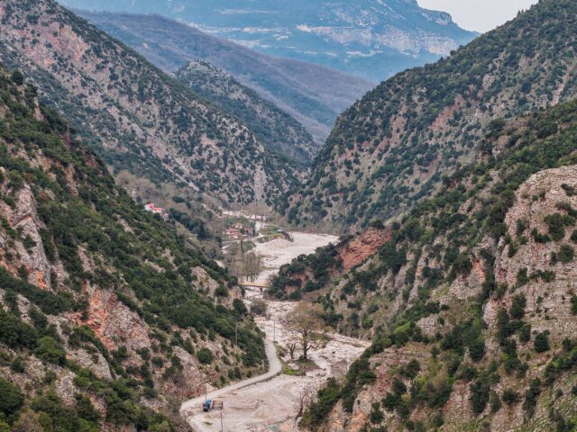
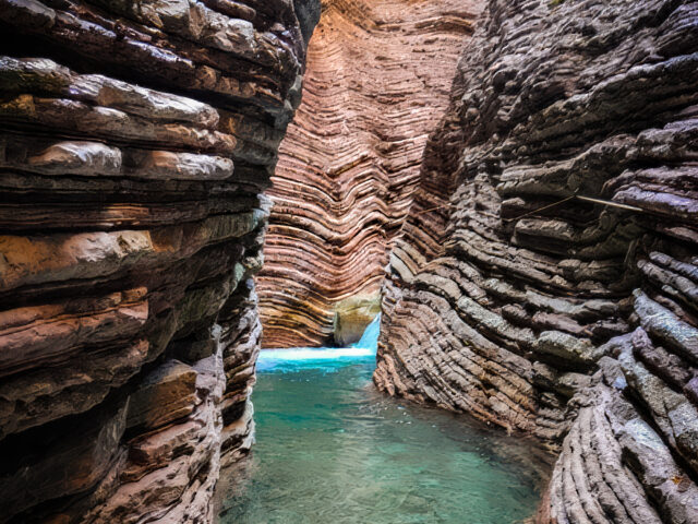
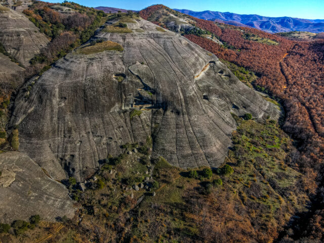
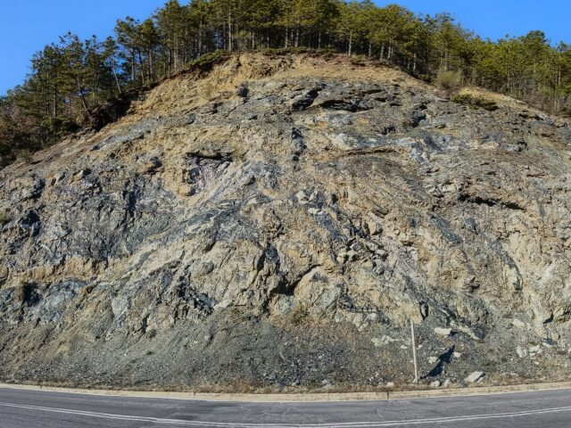
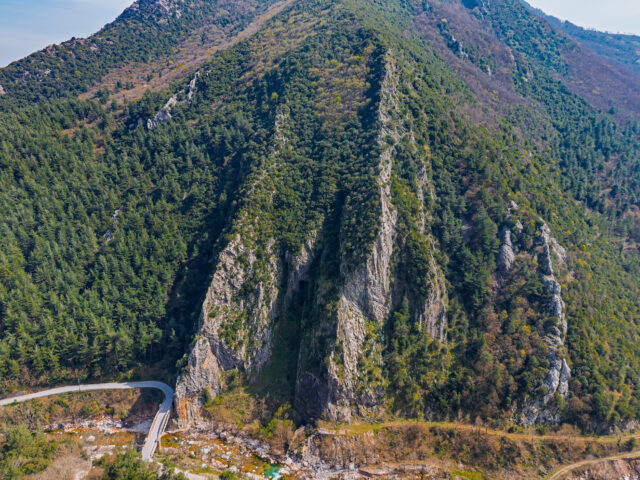
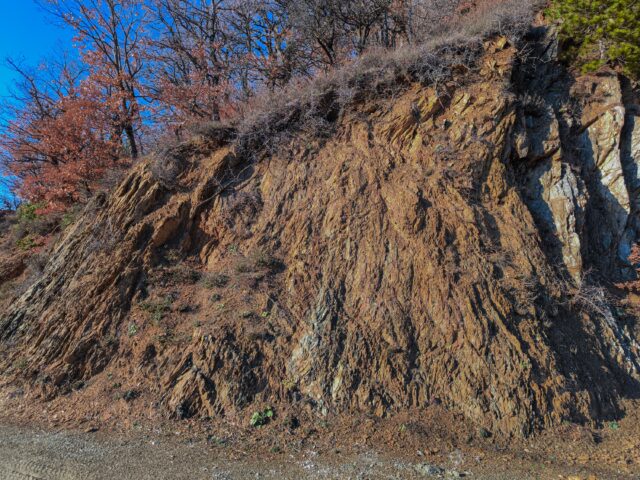
In the ravine crossed by the river and at a distance of about 2 km from Pyli, Carl Renz first reported the existence of thin-slab limestones, which bore fossils of the genus Halobia, dating their formation during the Triassic period. The Portaikos valley offers us a natural geological section of the Koziakas formations and their thrust on the Flysch and the remaining formations of the Pindos zone. The Koziakas geotectonic unit of rocks, together with ophiolitic rocks, are tectonically placed towards the West on the Tertiary flysch of the Pindos zone, with a characteristic surface of compressional movement, creating the Koziakas thrust. The Koziakas tectonic thrust is indicative of the direction of compression during the final stage of the Alpine orogenesis and emergence of the Greek mountain ranges. In the eastern part (Agios Vissarion, Pyli), the thrust of ophiolitic mixtures and a large mass of ophiolitic rocks originating from the Subpelagonic Zone, which is located a little further east, is observed in places on the rocks of the Koziakas tectonic unit of rocks. The compression of the formations causes folds on a large (hundreds of meters to kilometers) but also on a small scale of a few meters. Most of the folds are directed westward, following the direction of the Koziakas thrust on the rocks of the Pindos zone. Along the valley we see impressive almost vertical limestone layers. At the exit of the valley, after the Portaikos bridge, we encounter the Koziakas Thrust and the softer sediments of the Pindos Flysch.