Palaiokarya site
Address
Eparch, Paleokaria – Ropotou Provincial Road, Gate 420 32
GPS
39.431270785249, 21.527502044179
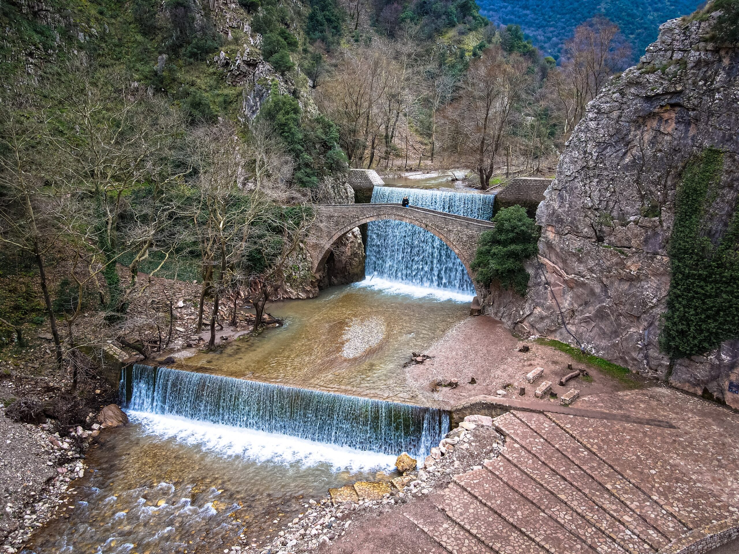
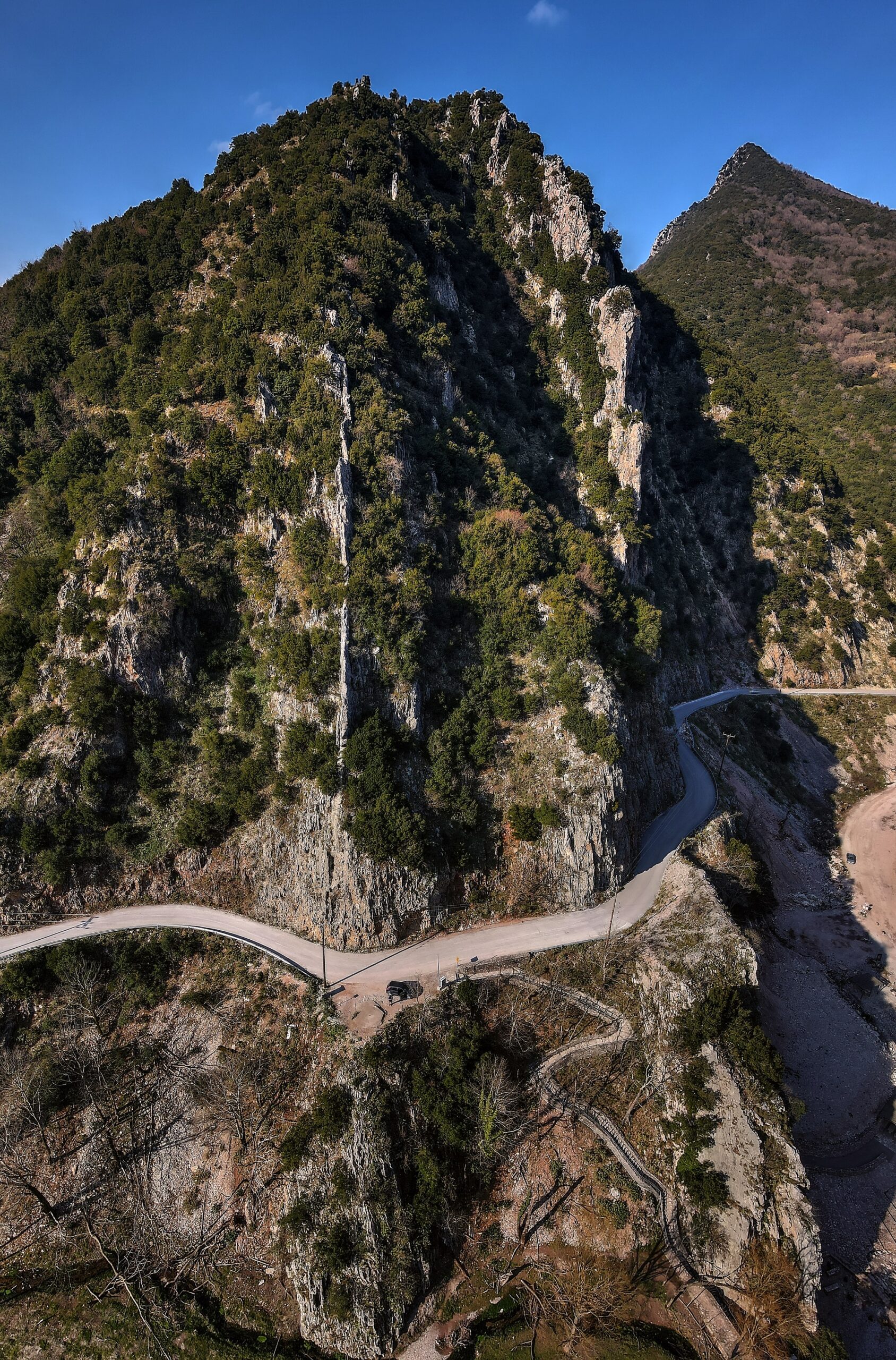
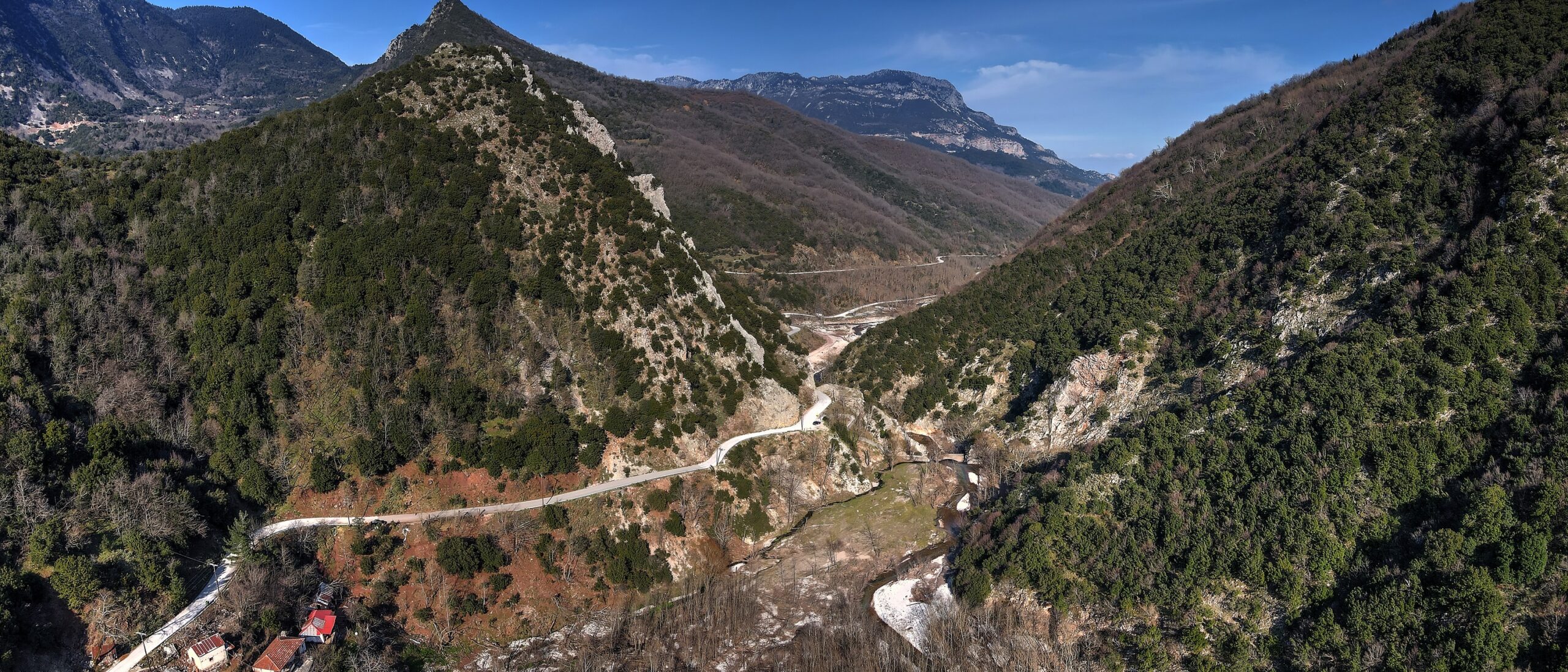
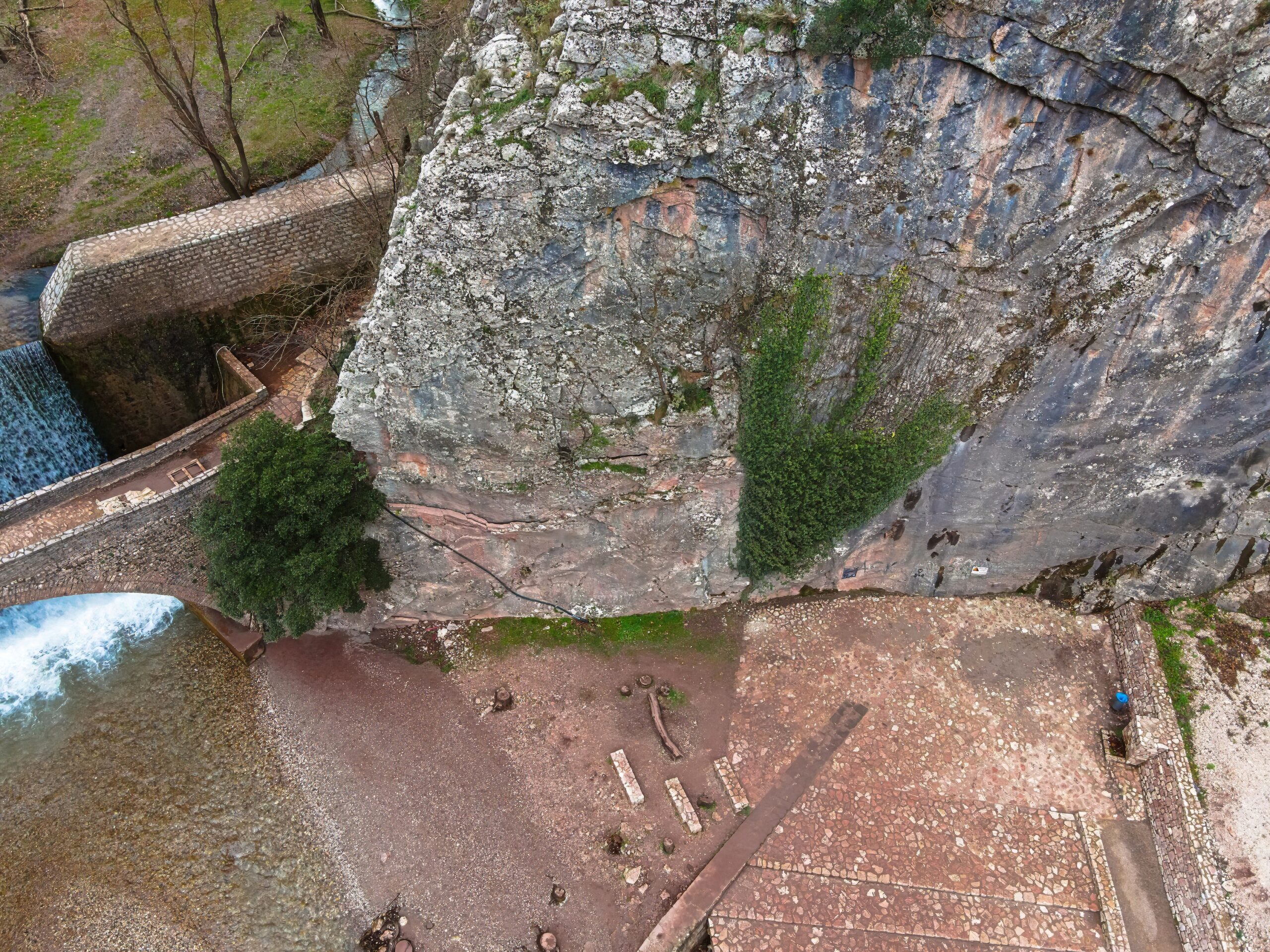
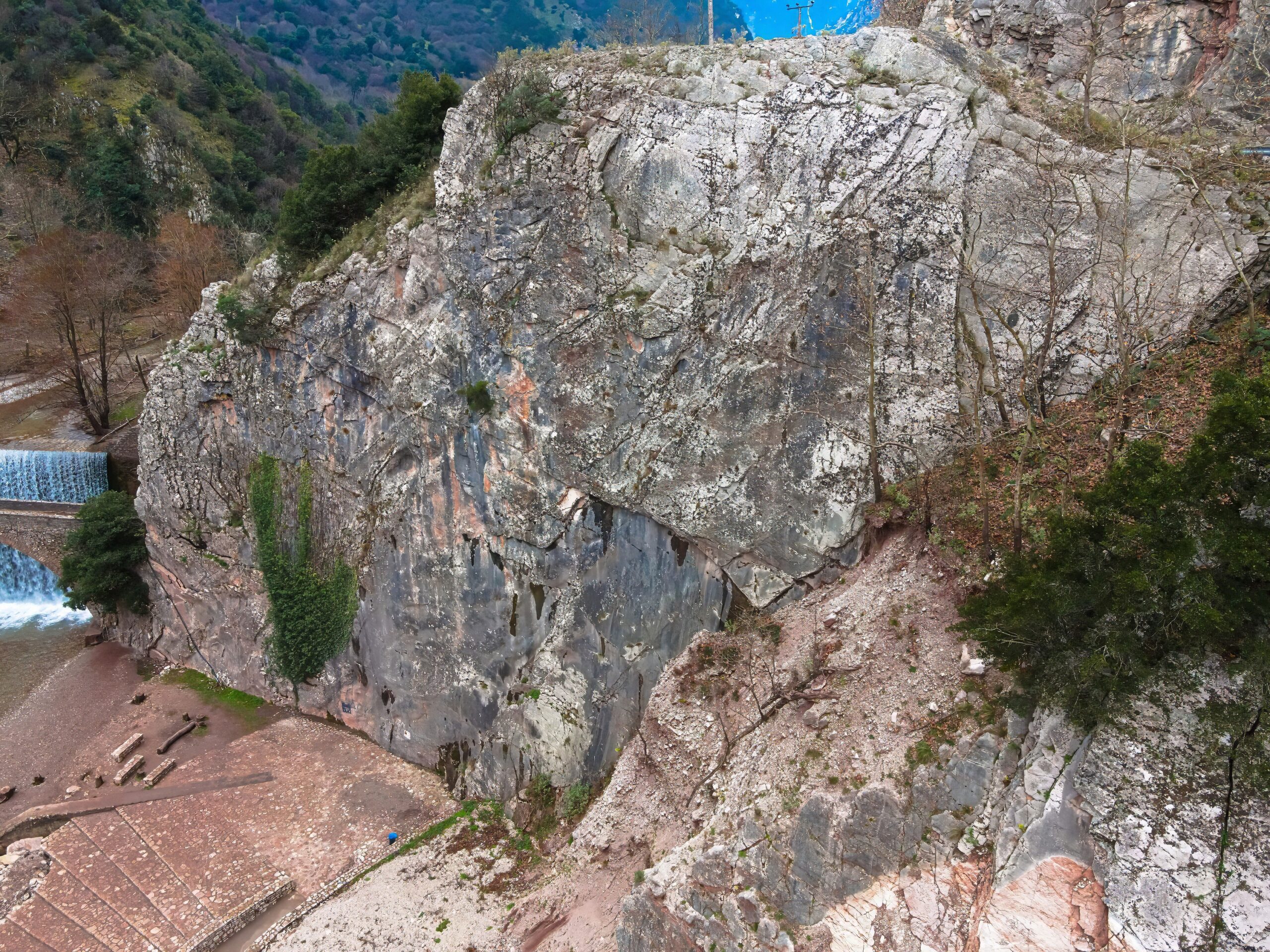
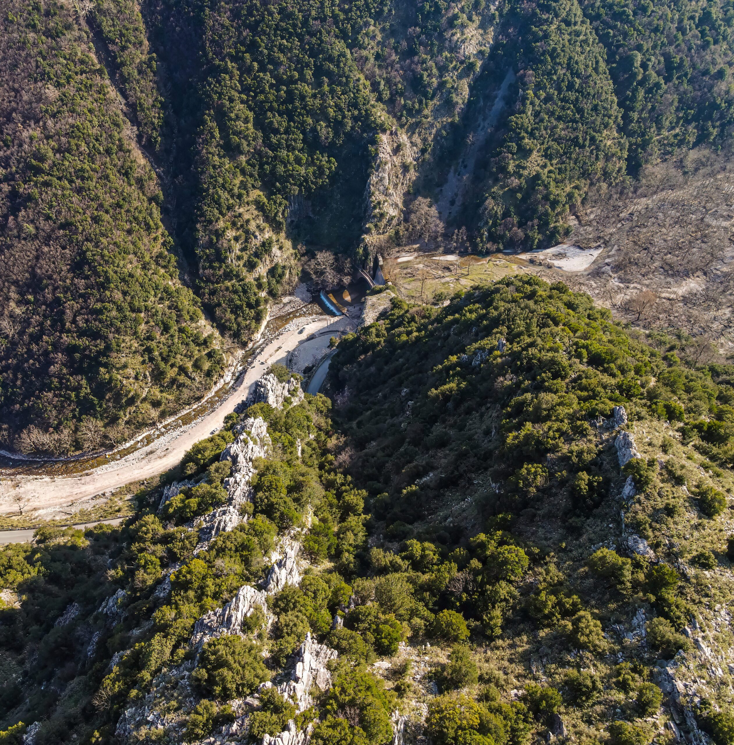
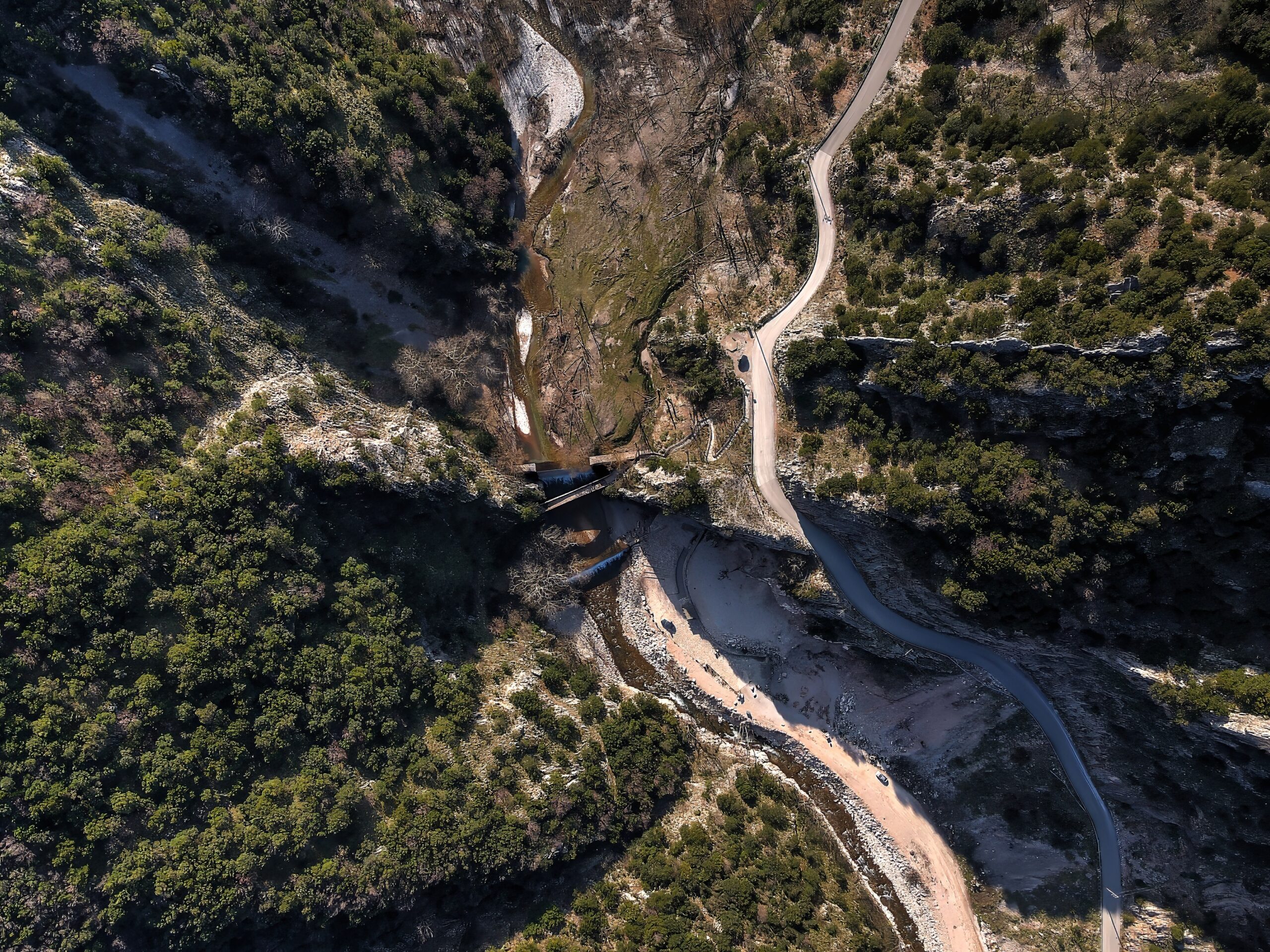
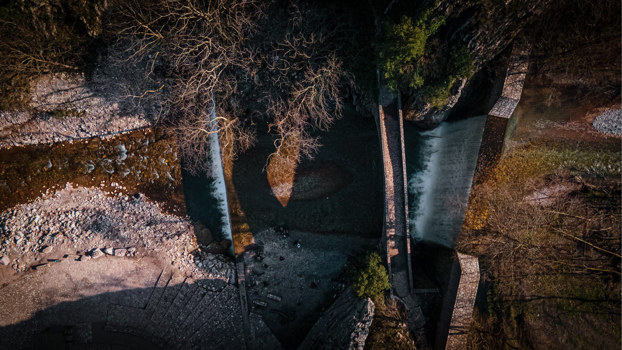
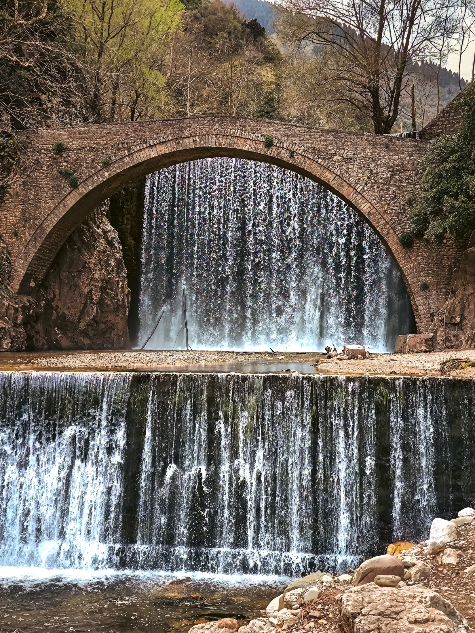
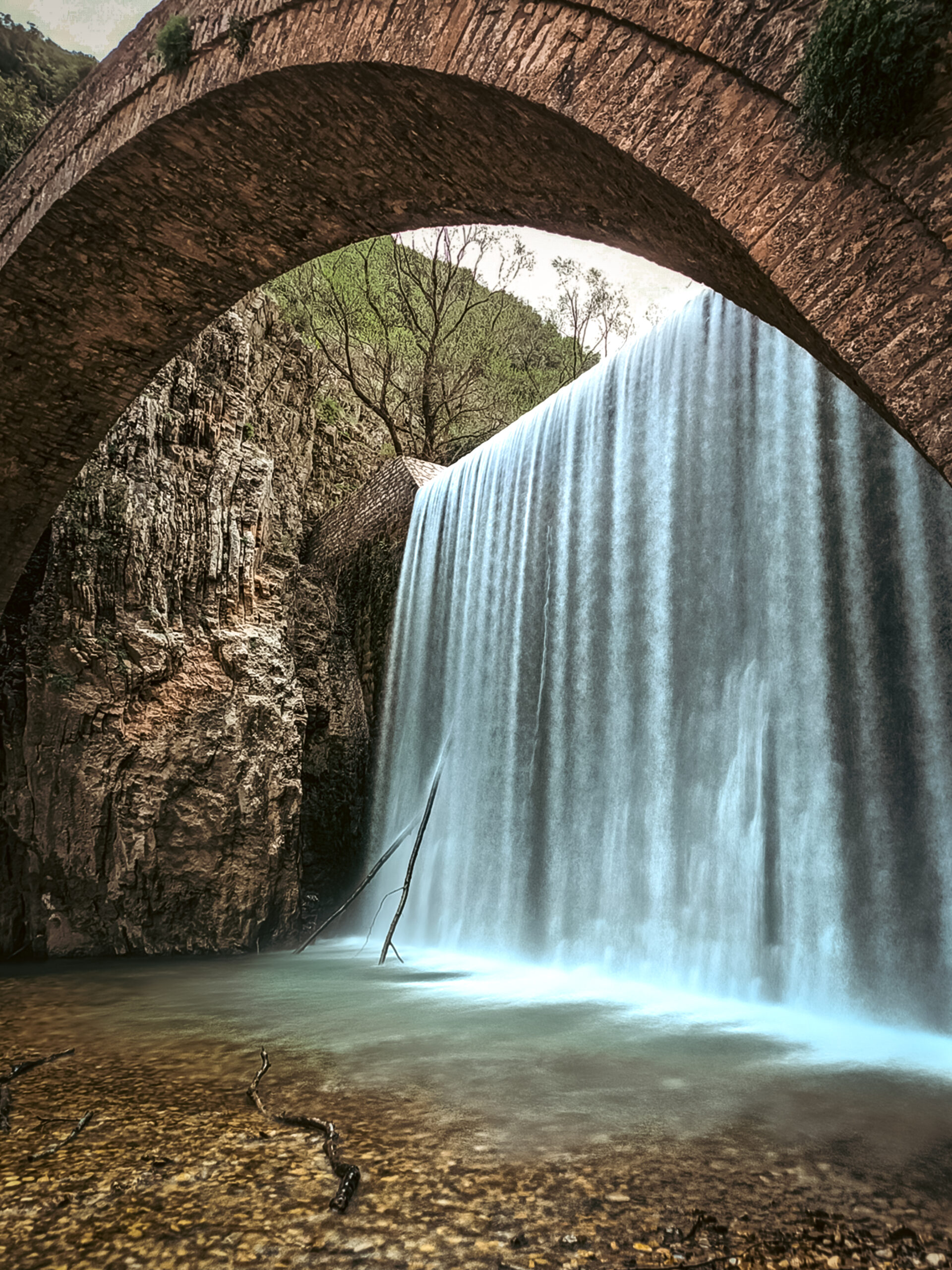
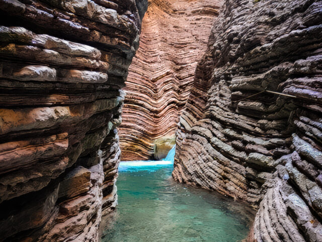
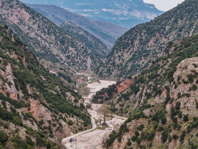
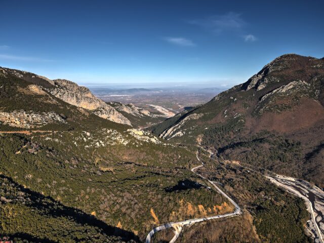
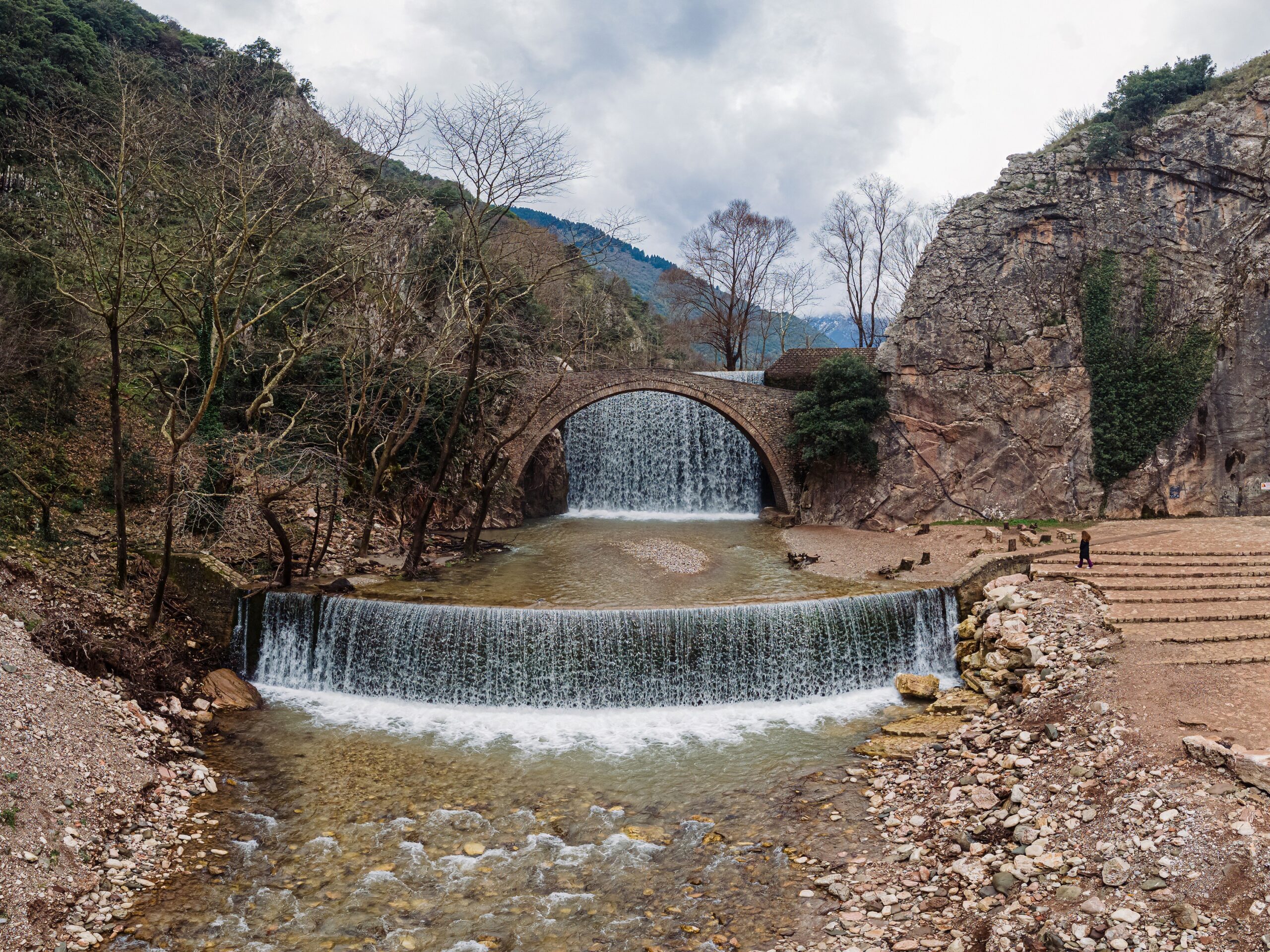
Characteristic sights of the settlements of Palaiokarya in Thessaly, within a beautiful landscape framed by lush vegetation, are the double waterfall of Palaiokarya with the 10-meter-high single-arch stone bridge dating from the 16th century and emerging from a rocky narrowing, 500 meters from Kato Palaiokarya. The stone bridge served the connection between Pyli and Mesochora until the opening of roads in the second half of the 20th century. The water comes from the small river Paleokaritis (Gropa stream), which flows through the gorge of Palaiokarya, which is also known as Gropa: two small dams built in the 1970s, the lower one in front and the higher one behind the bridge, created the two small-scale artificial waterfalls, giving a unique and special color to this particular location. In a magnificent and awe-inspiring image, the waterfall rushes its waters from a height of 12 meters. A short distance away, there is the smaller waterfall of 2 meters high. The waterfalls are only 35 km from the city of Trikala and 11 km from Pyli. Access is quite easy via a short and passable dirt road that starts from the main provincial road.
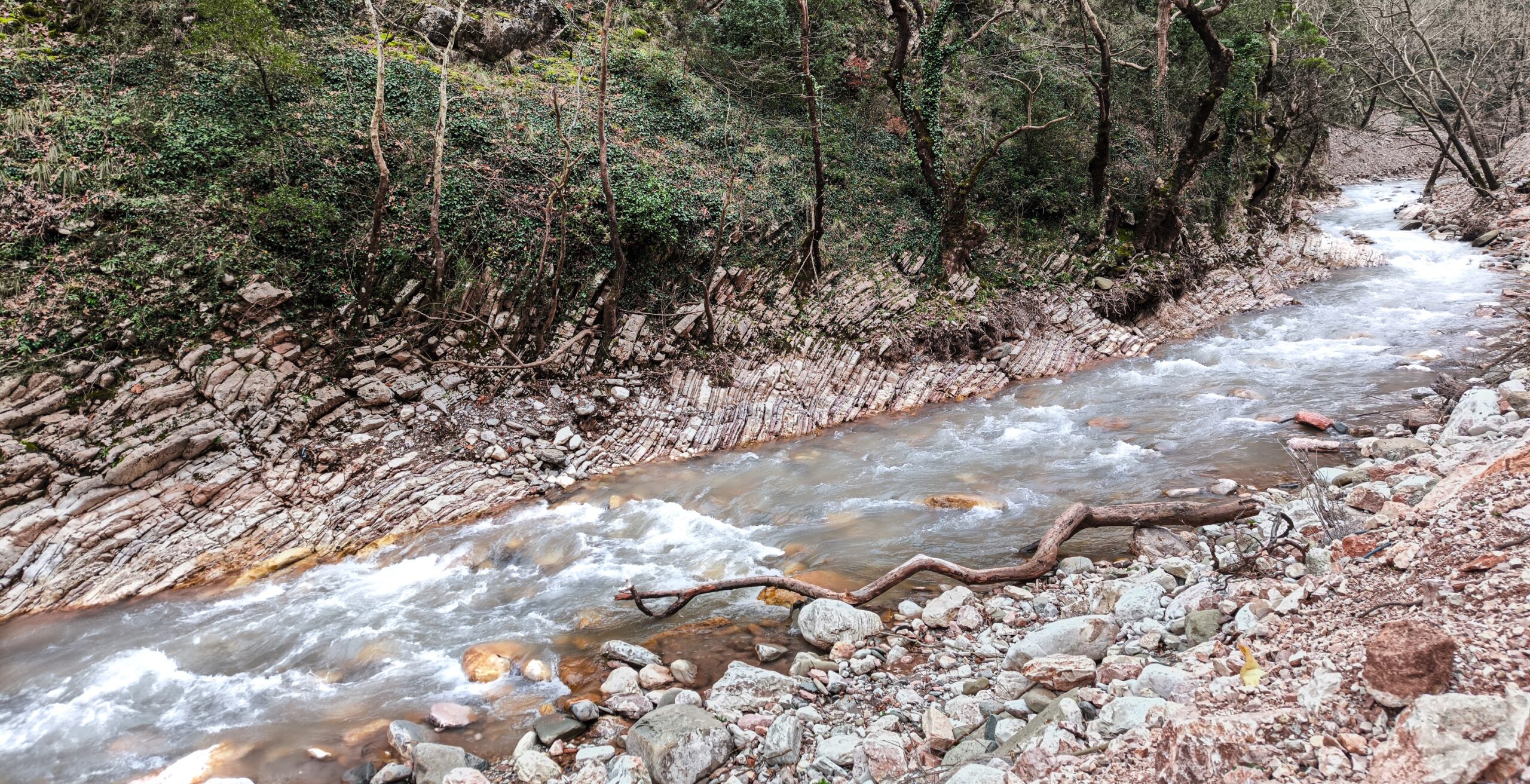
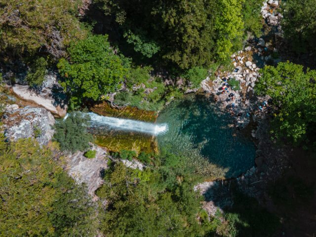
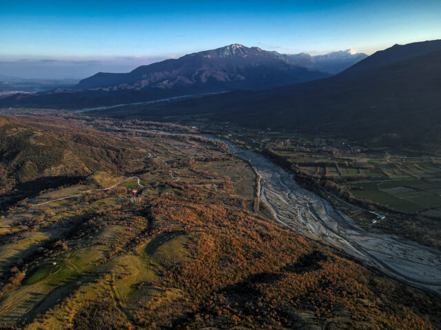
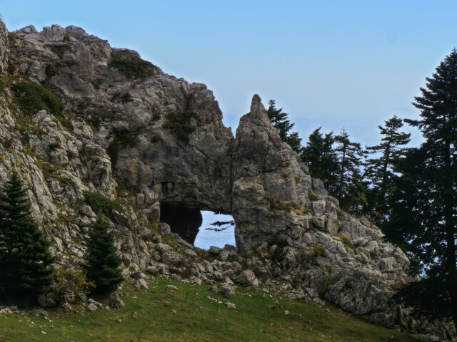
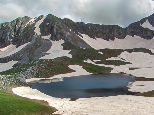
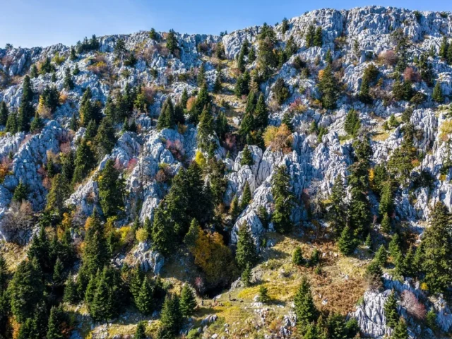
The Palaiokaritis River, which flows in this area with its dense riparian forest and remarkable fauna, originates from the neck of the gorge at an altitude of 1700m and ends in the Portaikos River. Compared to rivers of other canyons, Palaiokaritis maintains its waters all year round. The traditional water mill (drystela) of Palaiokarya, the magnificent forest of Katuna, the imposing peaks of Gropa (a stone-built path connects it to Upper Paleokarya) and Karava are additional points of attraction for visitors.
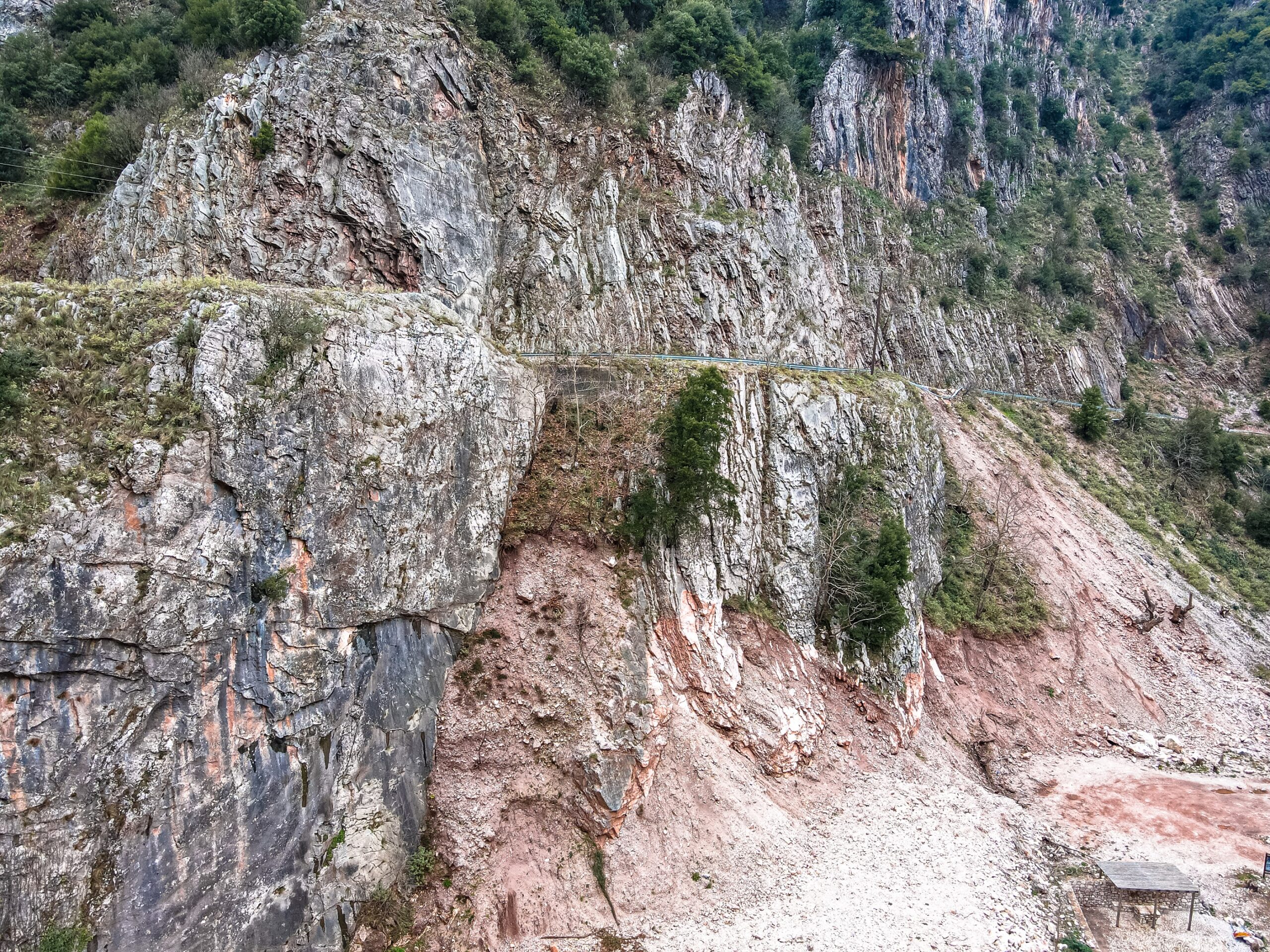
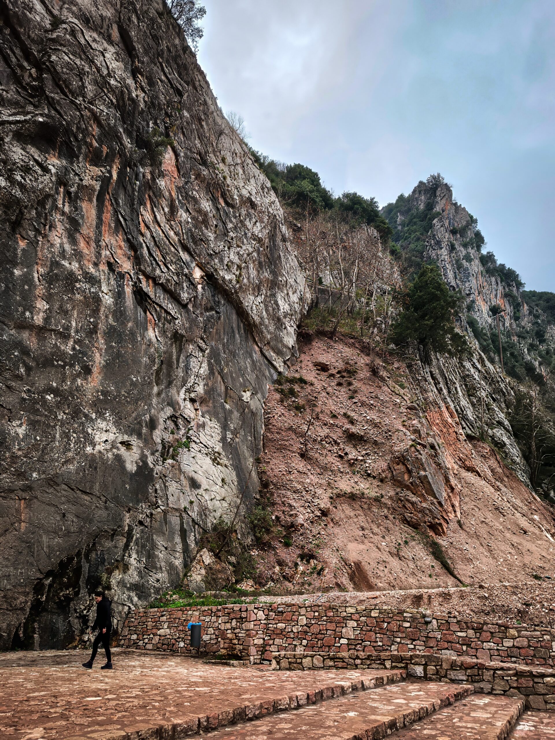
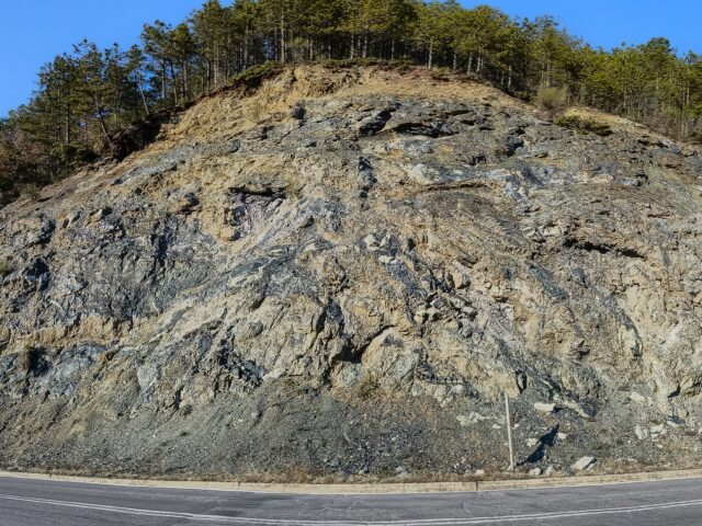
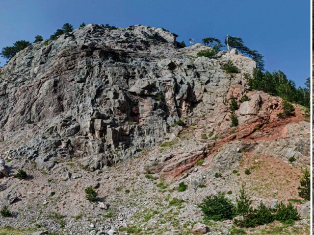
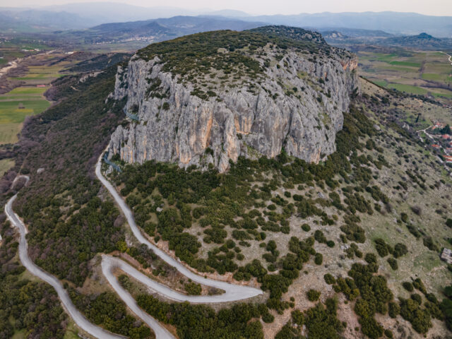
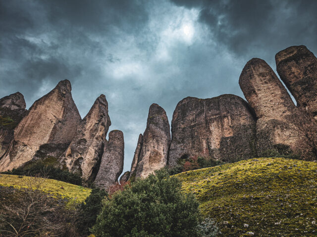
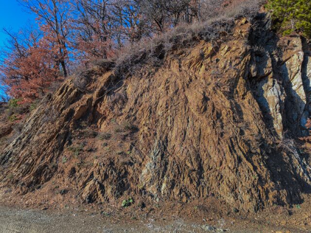
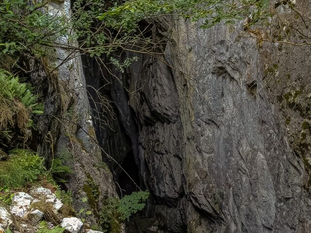
At the site of the Palaiokarya bridge, we see almost vertical limestone rocks of the Pindos zone. This arrangement of rocks was created by the folding and tectonic formations of the Pindos zone during the Alpine orogeny. The erosion of the overlying layers and their inclination perpendicular to the orientation of the valley created a steep narrowing of a few meters, which was convenient for the construction of a bridge to cross the river. This bridge was important for the communication of the mountain villages in the past, as the river flows even in the summer months and does not form safe passages. The gorge and the valley of Gropa cross the whole sequence of geological formations of the Pindos zone. During the Mesozoic, a sequence of deep-sea sediments was deposited in the Pindos Ocean, which constitute the Pindos zone (unit). Pindos was created about 35 million years ago, with the Alpine Orogeny: the sediments of Tethys were folded and uplifted, creating the mountains around the Mediterranean, including Pindos. The orogenesis began in the area of eastern Greece, migrating westward over millions of years. The Alpine orogenesis and the folding of the Pindos formations created the current image of a series of folded covers and thrusts, resulting in the Pindos formations being repeated and, in some areas, appearing in an inverted stratigraphic order (older rocks on top of younger ones). The rocks we see entering the Gropa gorge are the soft turbiditic sediments of the Pindos Flysch before the Palaiokarya bridge, a series of transitional layers and the white/gray limestones of the Cretaceous, on which the Palaiokarya bridge is founded.