Mpeis Cave
Address
Pyli 420 32
GPS
39.484019485332, 21.572626870102
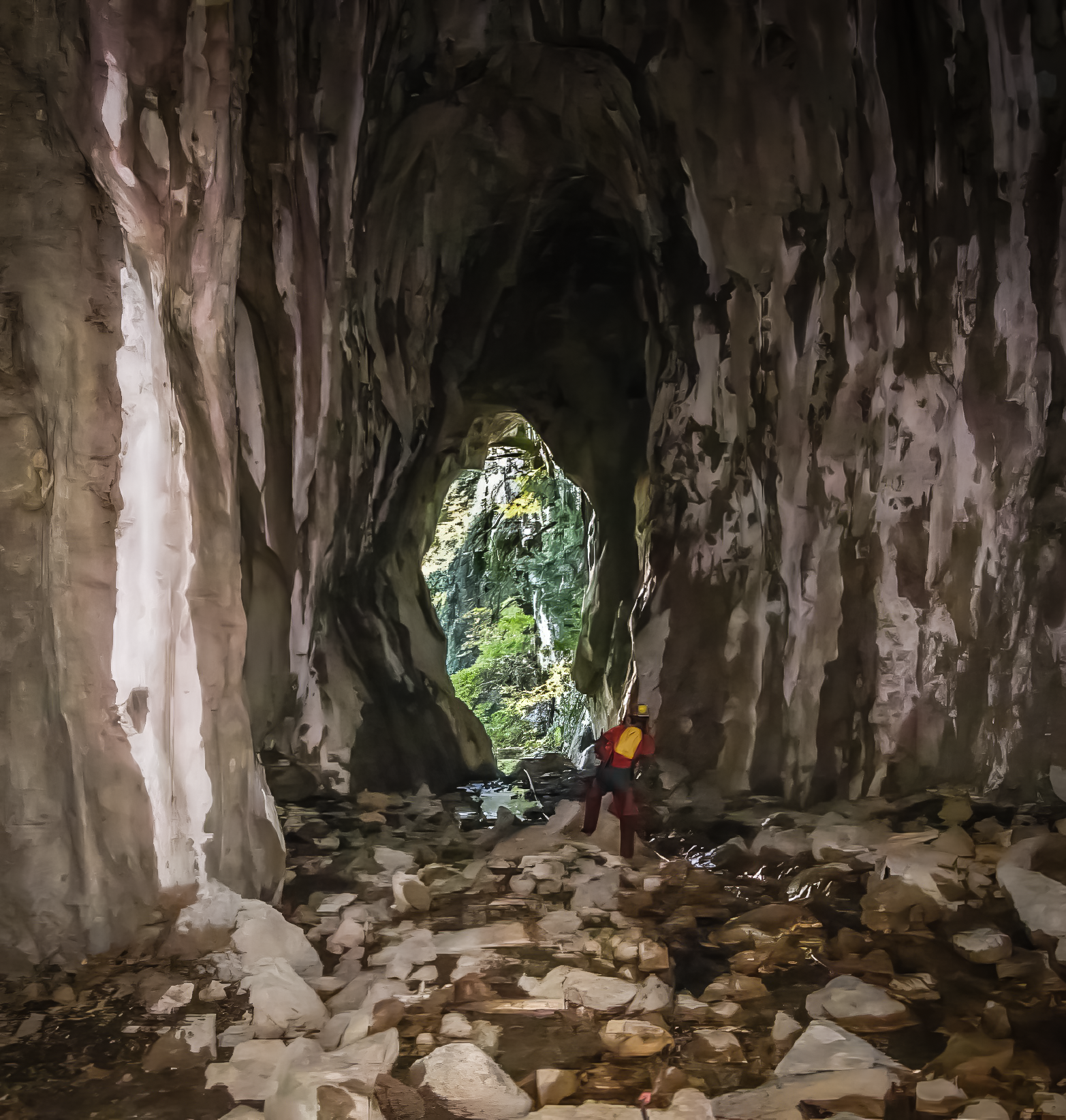
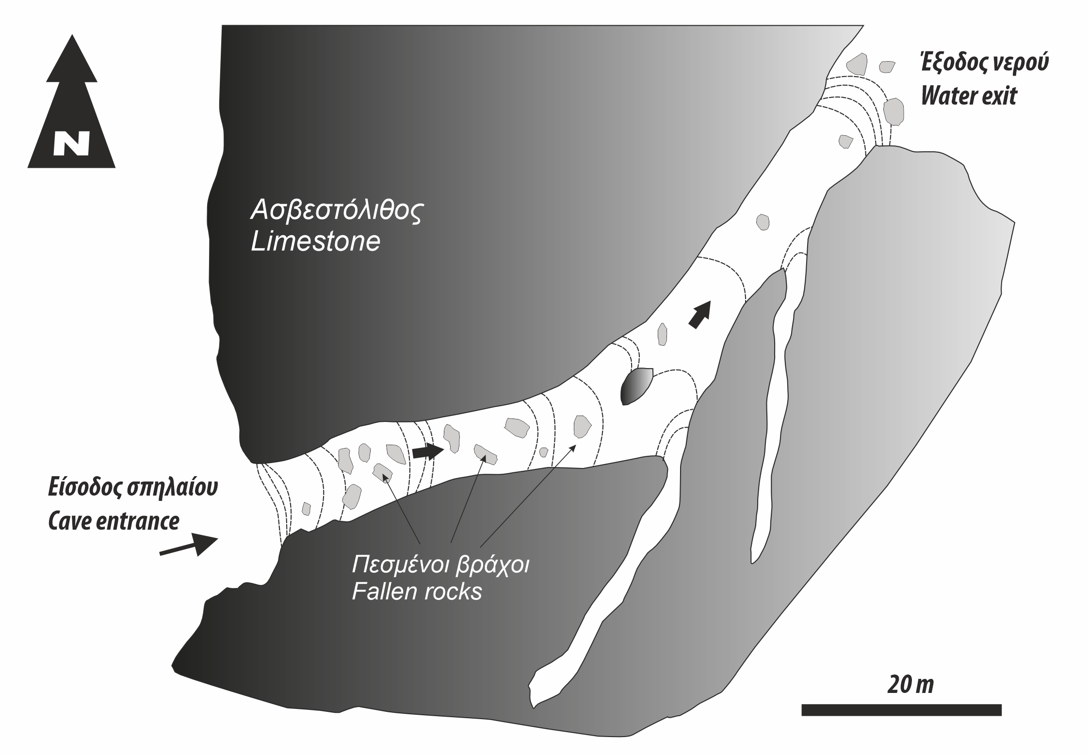
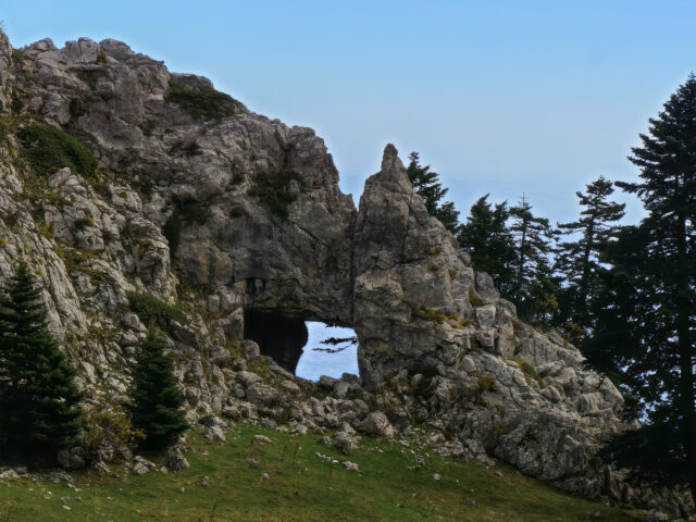
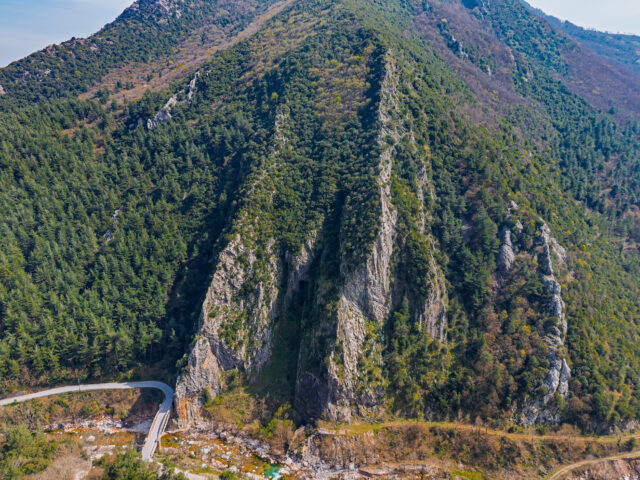
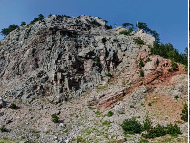
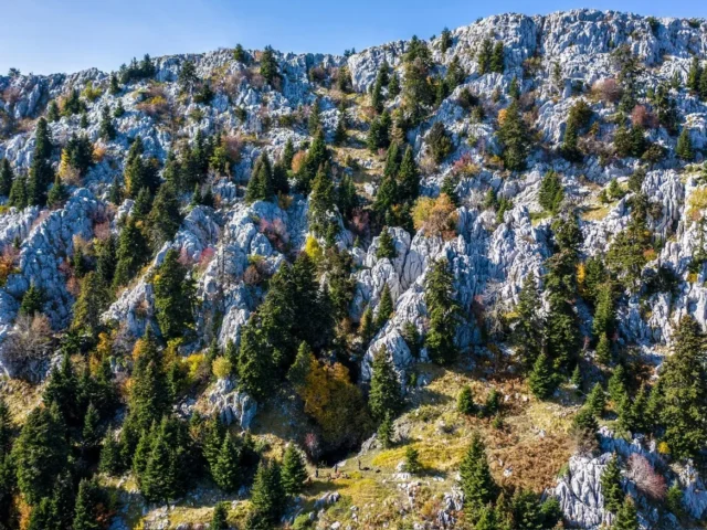
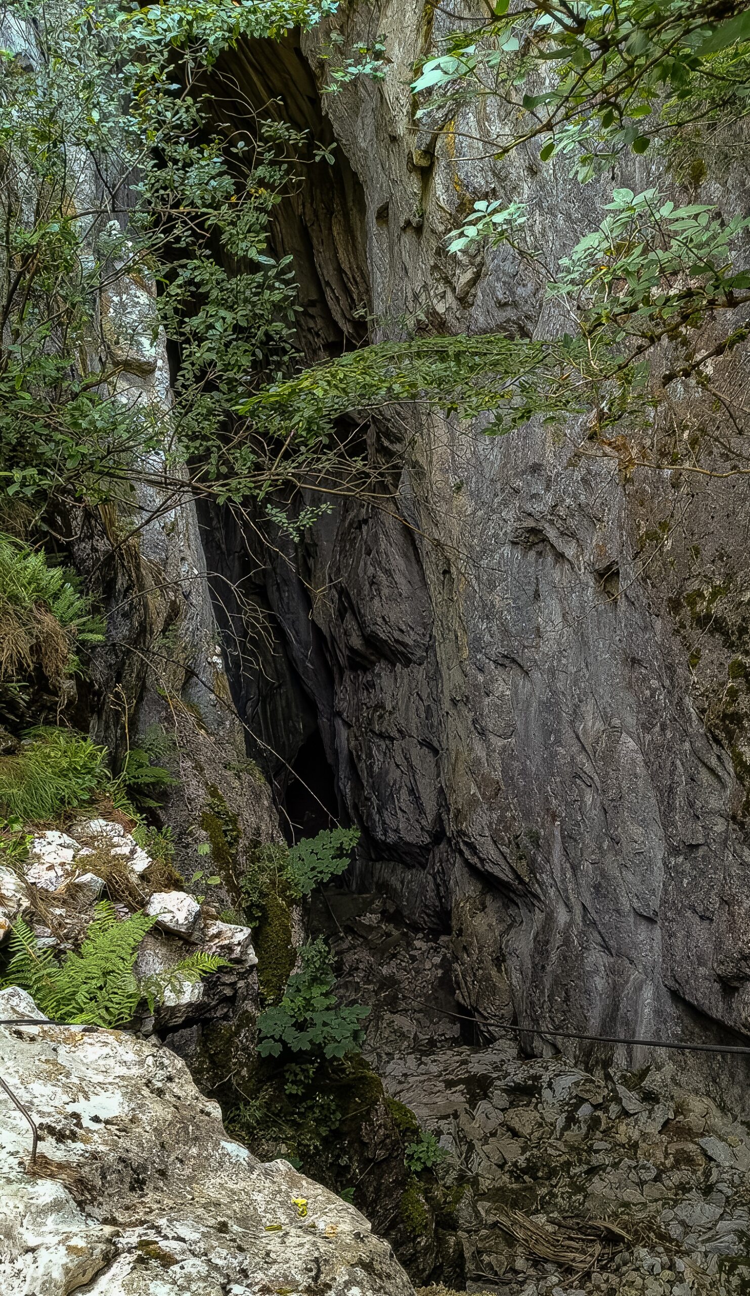
Mpeis cave is located on a small plateau of southern Koziakas, at an altitude of 1188 meters. It is a site of natural beauty, with dense vegetation and fir trees, through which the European Trail E4 passes. Near the cave is also the Mpei spring, from which its name came. It has two entrances (water entry and exit points). The altitude of entrance A (the river’s entry point into the cave) is 1188 meters while entrance B (the water exit point) is 1163 meters. The water that enters the cave of Bey comes from the stream that drains the “Megali Rachi” depression of the Koziakas ridge. The entrance is quite wide and is characterized by a precipitous continuation of about 10 meters in depth. The entrance to the cave is made with the help of a fixed rope. The cave is a relatively long karst conduit, where water enters and flows in a NE-SW direction, exiting from the exit with an absolute elevation difference of 25 meters.
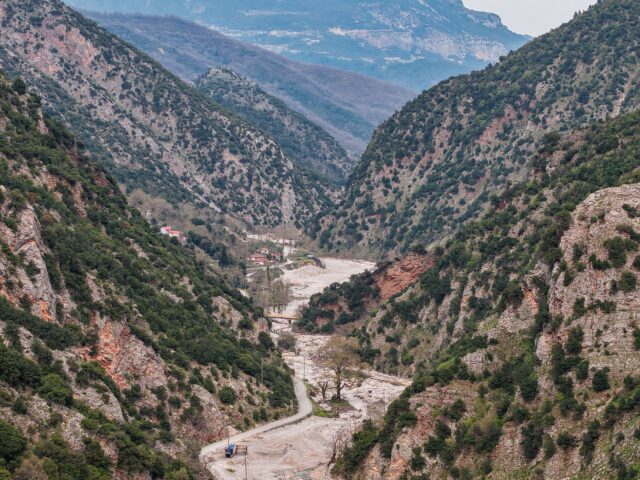
Three different paths lead to the cave. One path starts from the village of Kotroni and, passing through the karst spring of Krania, ends at the cave. Another path has a starting point a little west of Pialeia and after a fairly uphill road ends at the entrance A of the cave. Also, a path from a forest road that starts from Elati ends at the cave of Mpeis.
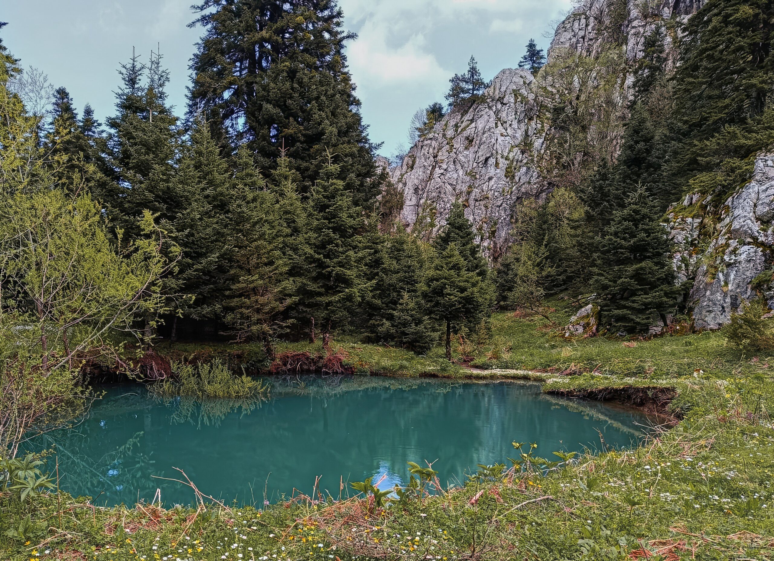
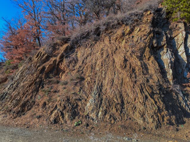
In front of the entrance to the cave, a small pond forms. This is a sinkhole that was formed in 2014 by the subsidence of the ground due to the collapse at a shallow depth of a natural underground karst water transport conduit. This sinkhole is another indication of the intense karstification of the area. The rocks of Koziakas are intensely karstified, resulting in the presence of underground galleries and streams in the interior. Karst erosion starts from the surface and follows tectonic faults and cracks in the interior, gradually dissolving the limestone. In this way, the continuous circulation of groundwater widens these openings, forming underground water conduits that often communicate with each other. One such formation is the Bay Cave, a karst water conduit that has now been revealed on the surface.