Address
Koziakas 421 00
GPS
39.513548001635, 21.551213838878
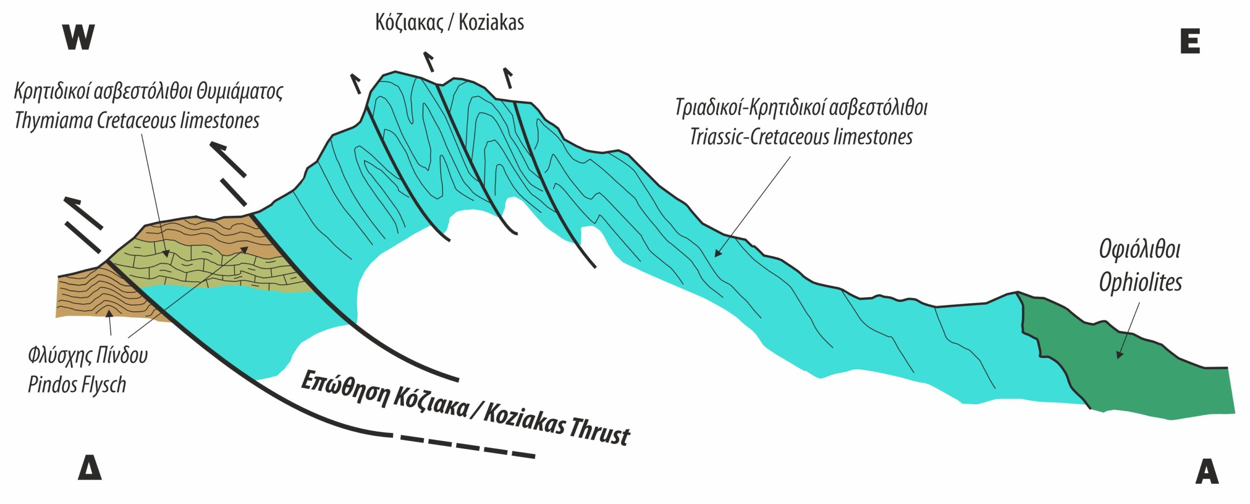
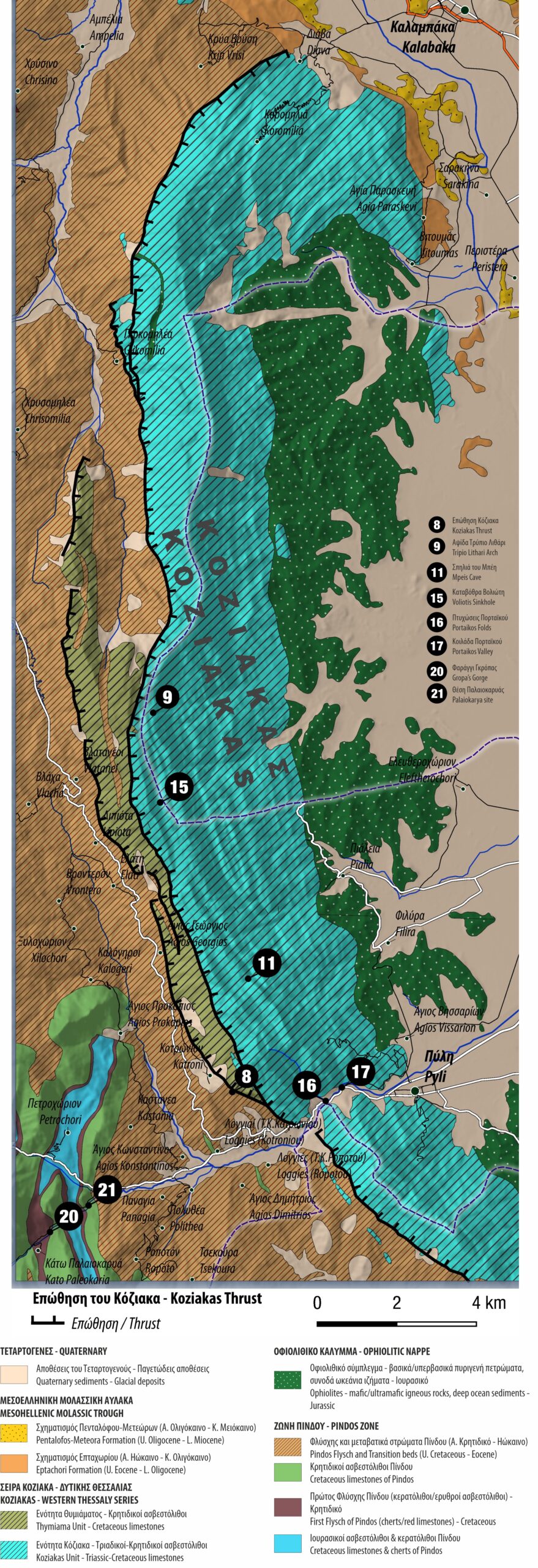
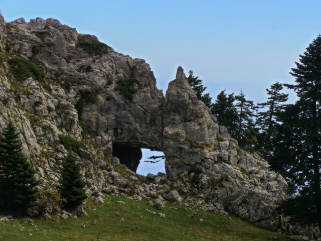
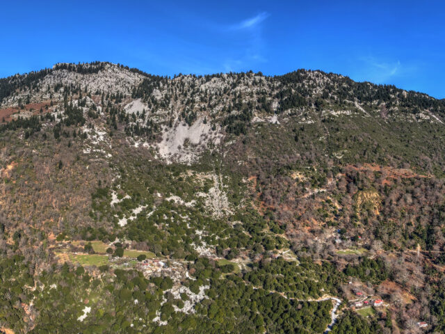
The Koziakas geotectonic unit, together with ophiolitic rocks, are tectonically placed towards the West on the Tertiary flysch of the Pindos belt, with a characteristic surface of compressional movement, creating the Koziakas thrust. The Koziakas tectonic thrust is indicative of the direction of compression during the final stage of the Alpine orogenesis and emergence of the Greek mountain ranges. In the eastern part of the Koziakas mountain range, the thrust of ophiolitic mixtures and a large mass of ophiolitic rocks originating from the SubPelagonic Zone, which is located a little further east, is observed in places on the rocks of the Koziakas tectonic unit.
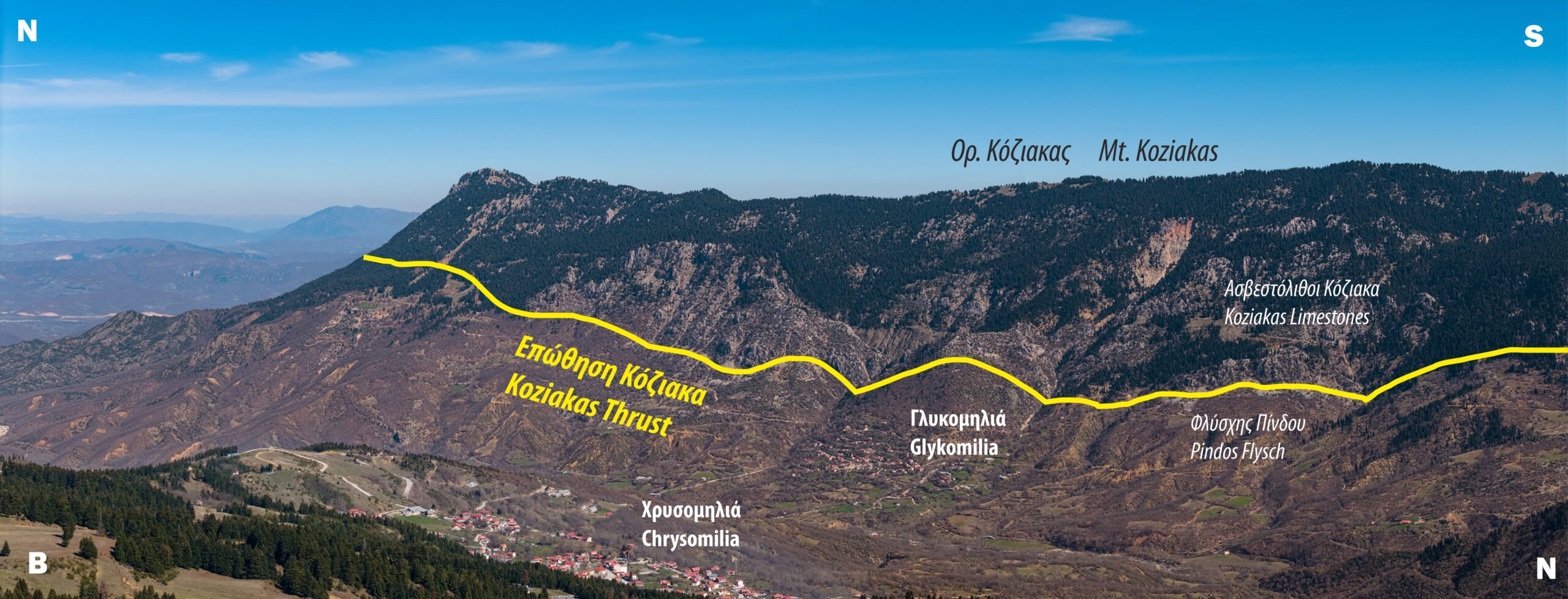
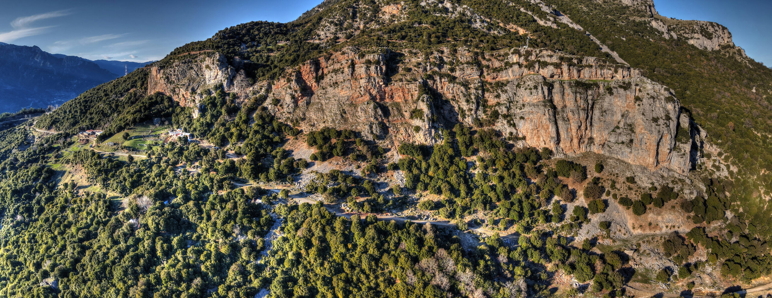
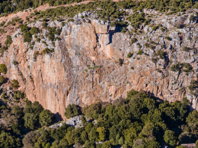
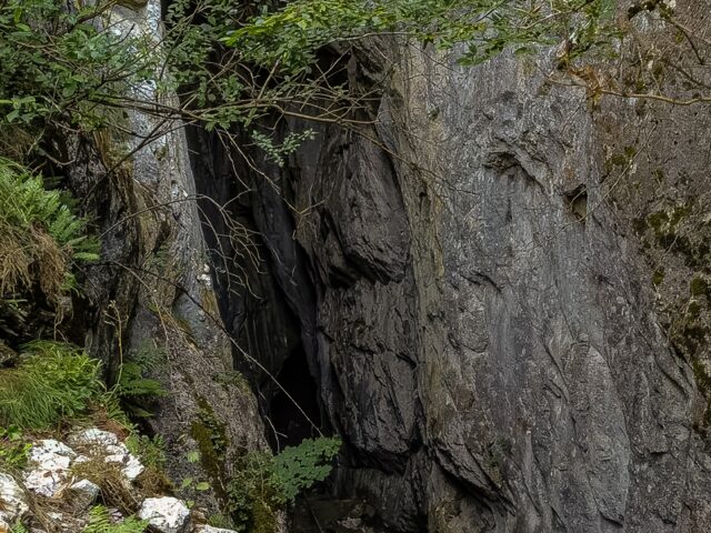
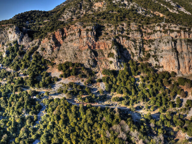
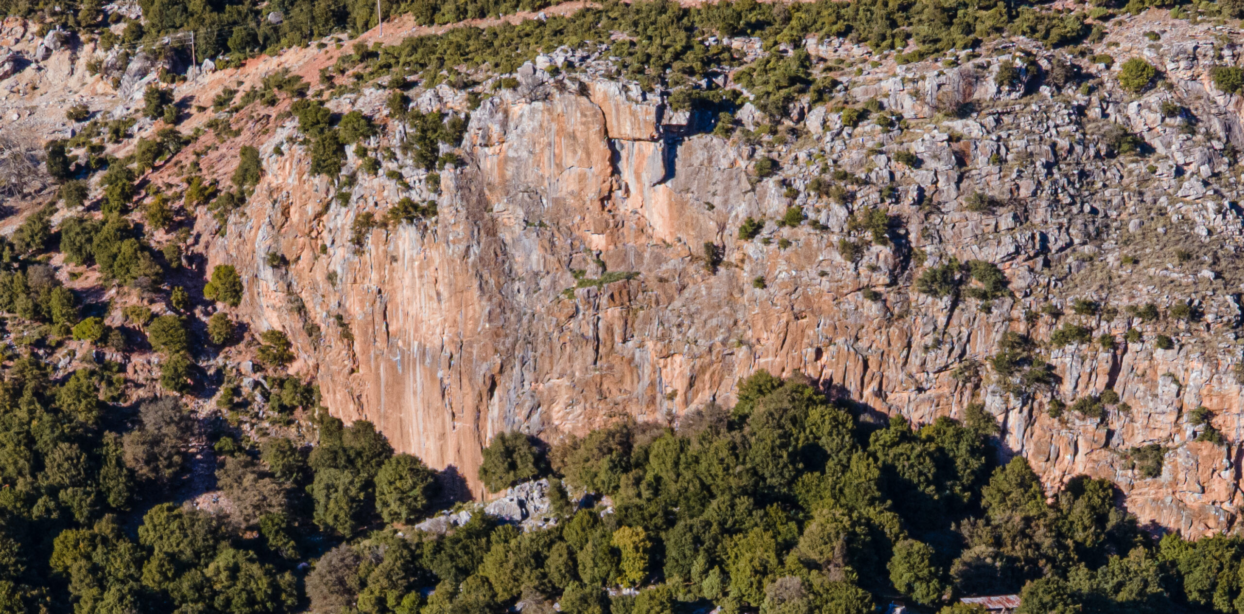
Koziakas Thrust extends over a length of >30 km from Diava in the north to the Portaikos valley in the south. In the southern part, the thrust becomes double, with the Koziakas formations being placed on the Thimiama Unit, which in turn is placed on the Pindos Flysch. Appearances of the Koziakas Thrust surface can be observed at various points in the Koziakas, such as along the road that crosses the Portaikos valley, on the paths leading to Koziakas from Elati and Pertouli, and further north near Diava, Krya Vrysi and Glykomilia. A very characteristic slip surface of more than 60 m in height can be seen near the village of Kotroni, along the dirt road leading south of the village. This almost vertical surface appears smooth and with friction lines, as a result of tectonic movement on the thrust. The Koziakas Thrust continues south, outside the geopark, on the southern slopes of Mount Itamos and towards Mouzaki.