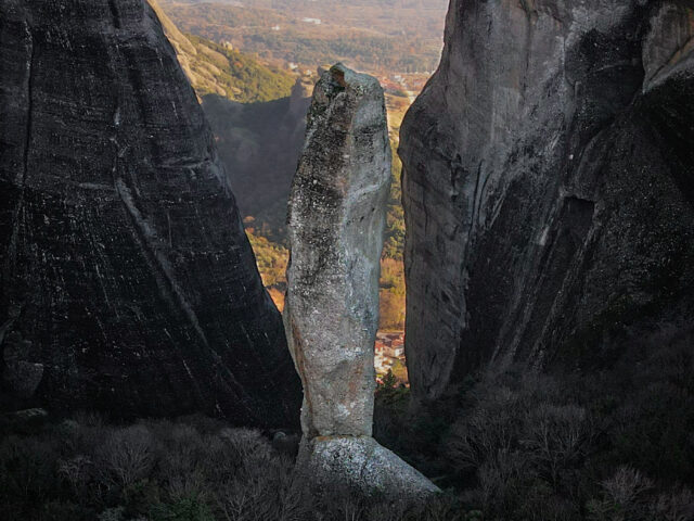
Katara site
The Katara Pass
Address
Malakasi 422 00
GPS
39.804394593897, 21.233436599702
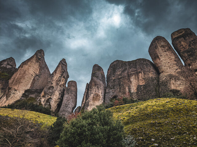
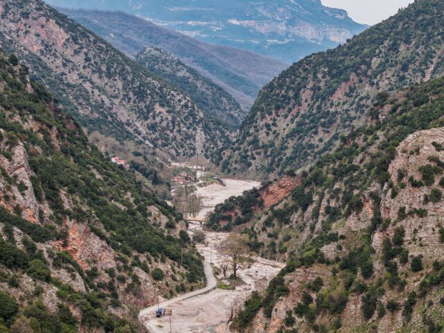
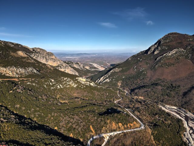
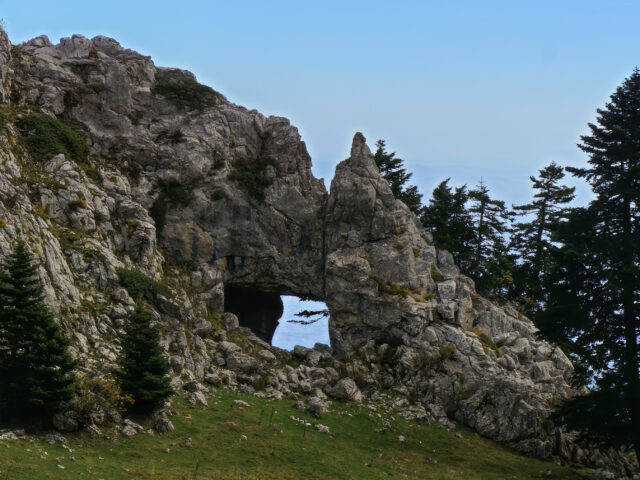
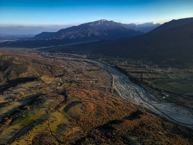
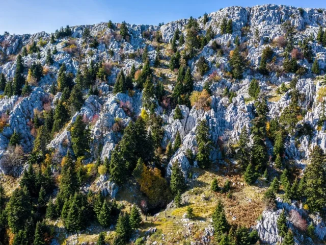
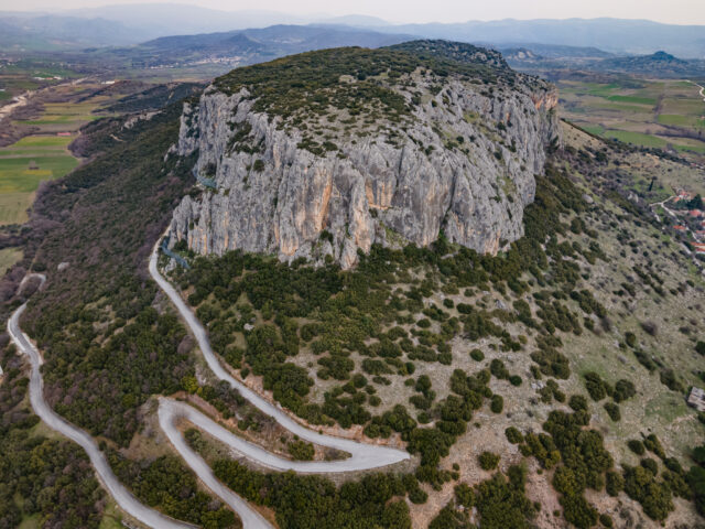
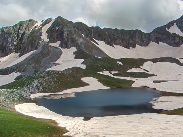
The Katara Pass, at an altitude of 1699 meters, is the mountainous pass of Pindos through which traffic from Northern Greece and Thessaly to Epirus was carried out for decades. Today, traffic is limited as the road has been replaced by the Egnatia Odos motorway. During the winter months, the Katara Pass is closed to car traffic. At the Katara Pass, the vegetation thins due to the altitude and we can enjoy the view towards Metsovo and Lake Aoos to the west, and the Malakasiotis Valley to the east. The landscape is impressive, with the fir-forested slopes and colorful rock outcrops along the road. The Katara Pass, at an altitude of 1699 meters, is the mountainous pass of Pindos through which traffic from Northern Greece and Thessaly to Epirus was carried out for decades. Today, traffic is limited as the road has been replaced by the Egnatia Odos motorway. During the winter months, the Katara Pass is closed to car traffic. At the Katara Pass, the vegetation thins due to the altitude and we can enjoy the view towards Metsovo and Lake Aoos to the west, and the Malakasiotis Valley to the east. The landscape is impressive, with the fir-forested slopes and colorful rock outcrops along the road.
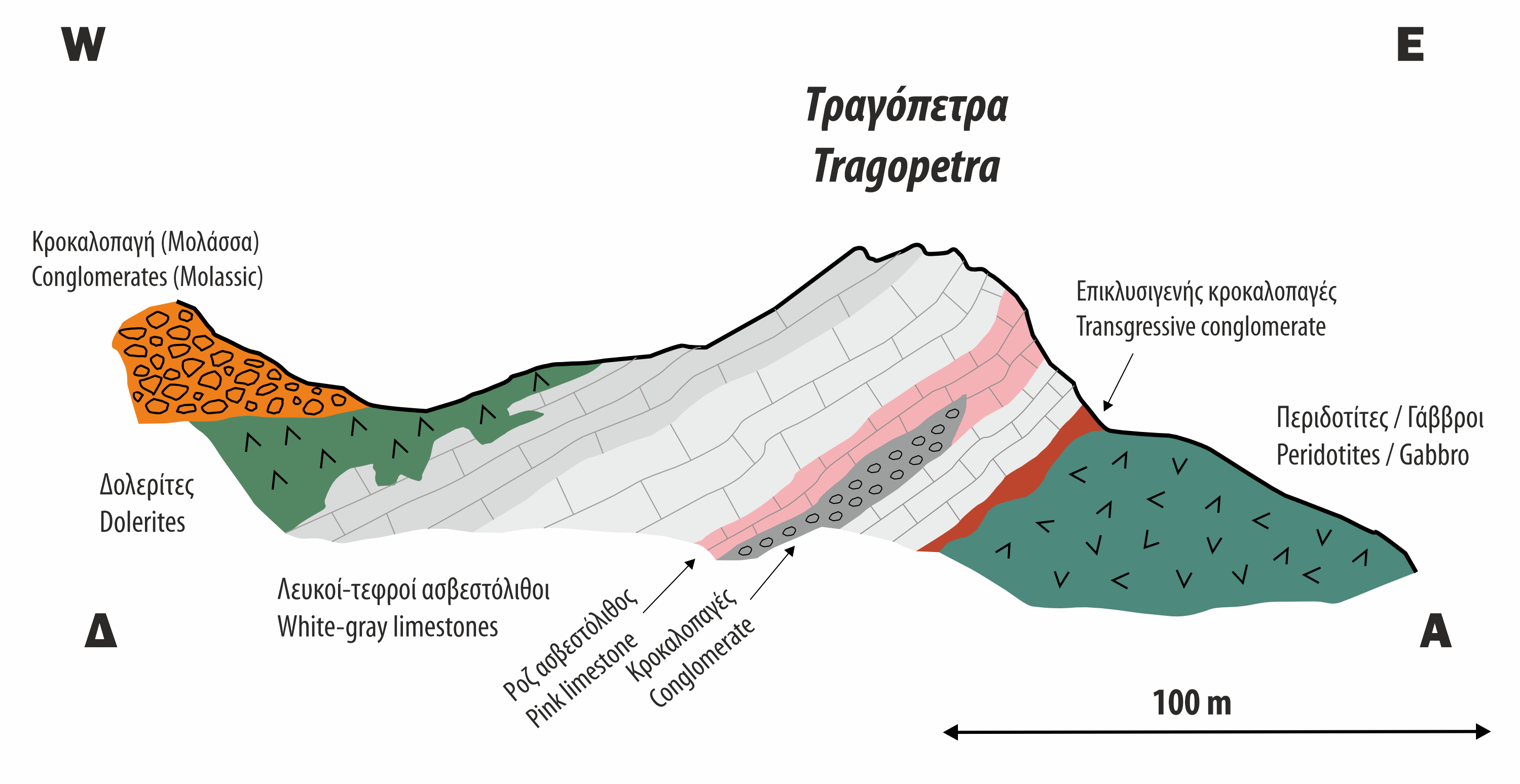
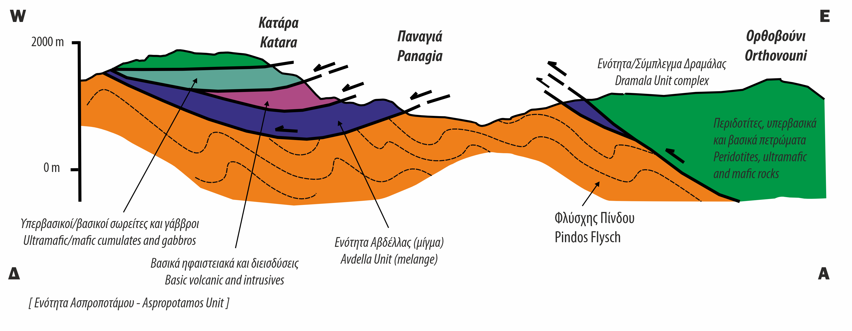
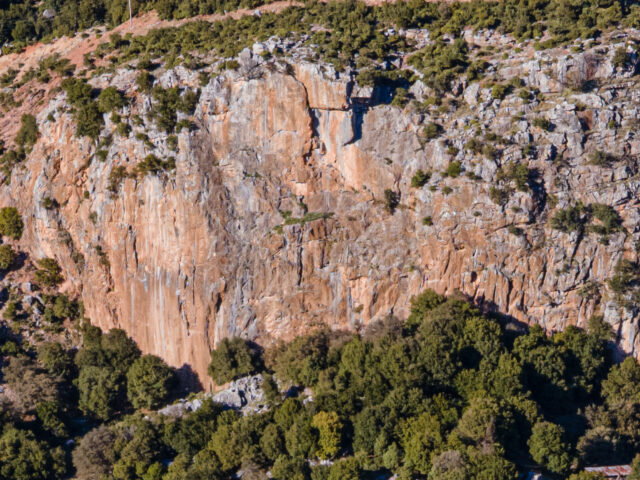
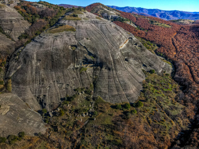
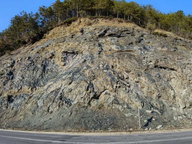
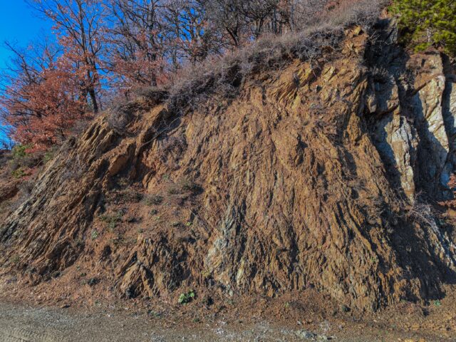
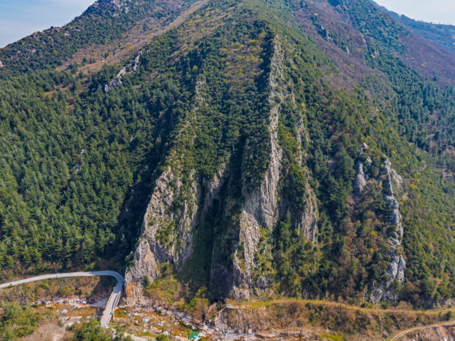
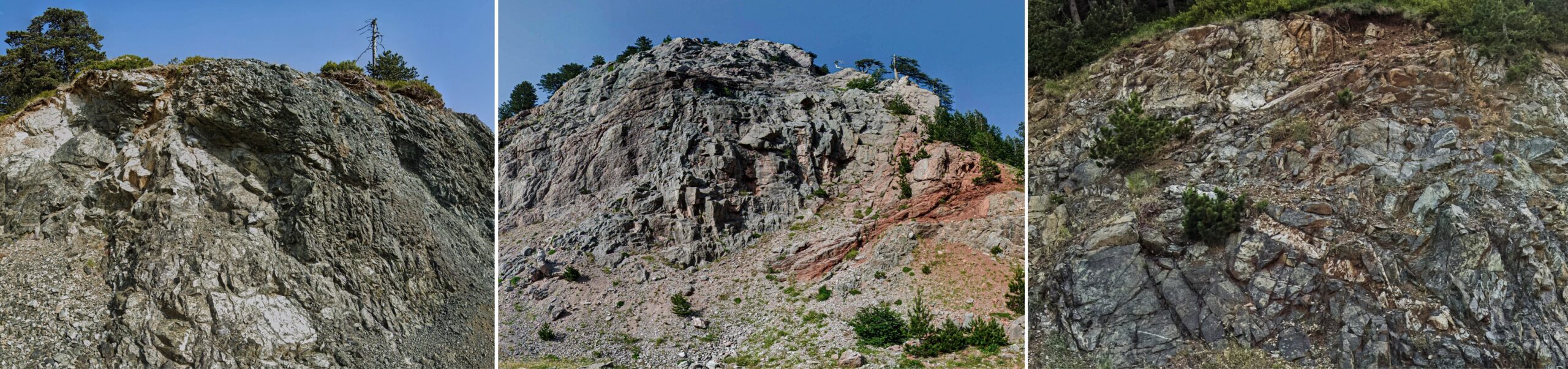
The various rocks and formations that we encounter along the road in Katara are mapped as a series of different units, part of the Pindos Ophiolite Complex. These units (Avdella, Aspropotamos, Dramala) are placed as tectonic blocks over the Pindus flysch. The Avdella unit (Avdella mélange) consists of a diverse mixture (mélange) of various volcanic, sedimentary rocks as well as blocks of surrounding formations. This mixture was created as a result of tectonic deformation and mild metamorphism at the base of the Ophiolite complex. The volcanic rocks of the ophiolites were created in Mid-Ocean ridge conditions, in an ocean east of Pindus zone. A corresponding modern analogue environment is the emergence of lava and formation of oceanic crust in the center of the Atlantic Ocean. The intense tectonic flaking and deformation has led to the local fragmentation of the various formations and the presence of fault structures that we can see along the road. The age of these formations is mainly Jurassic, with a range from the Triassic to the Upper Cretaceous. In the Katara area we can observe various occurrences of peridotites, gabbros and other basic/ultrabasic volcanic rocks. Along with these igneous rocks, we also encounter the accompanying deep oceanic sediments such as red clay shales and radiolarites as well as small occurrences of limestones. Approximately one kilometer east of the Katara neck, there is the characteristic rock of Tragopetra which is crossed by the road. In Tragopetra we can observe a large occurrence of limestones among the lavas of the ophiolites.