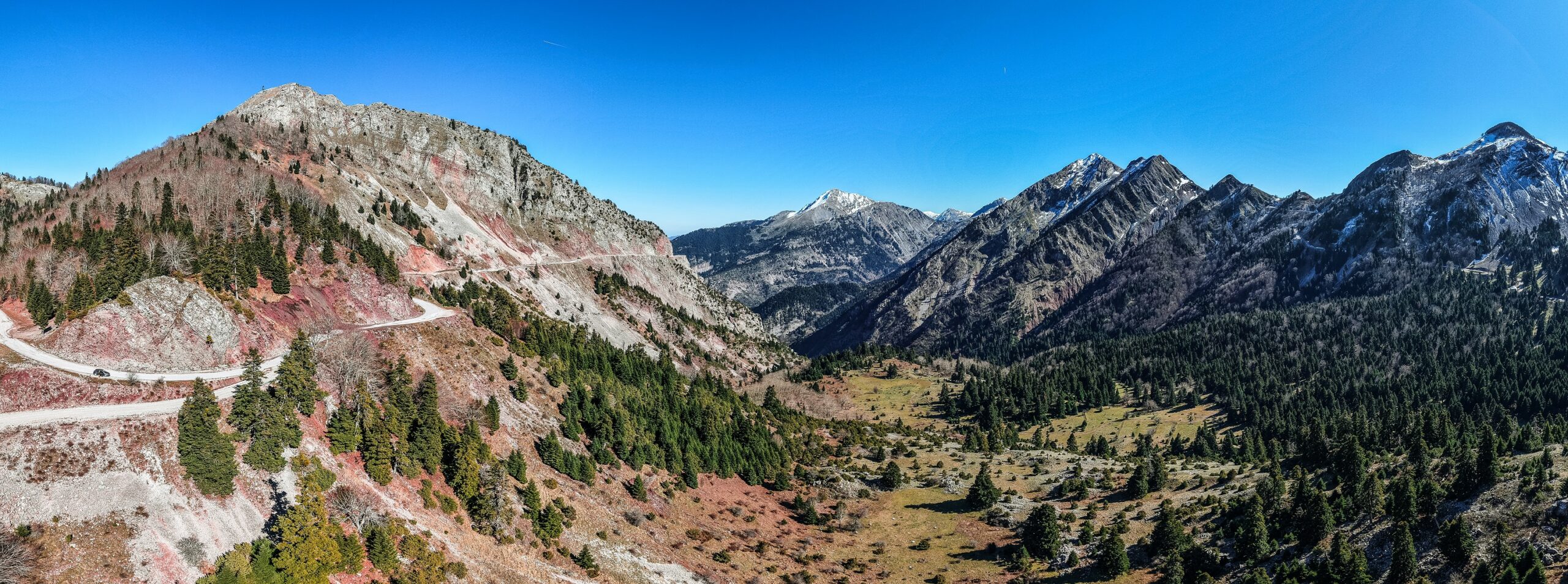
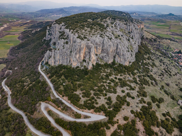
Gropa’s Gorge
Address
Pyli 420 32
GPS
39.428149714451, 21.522487699549
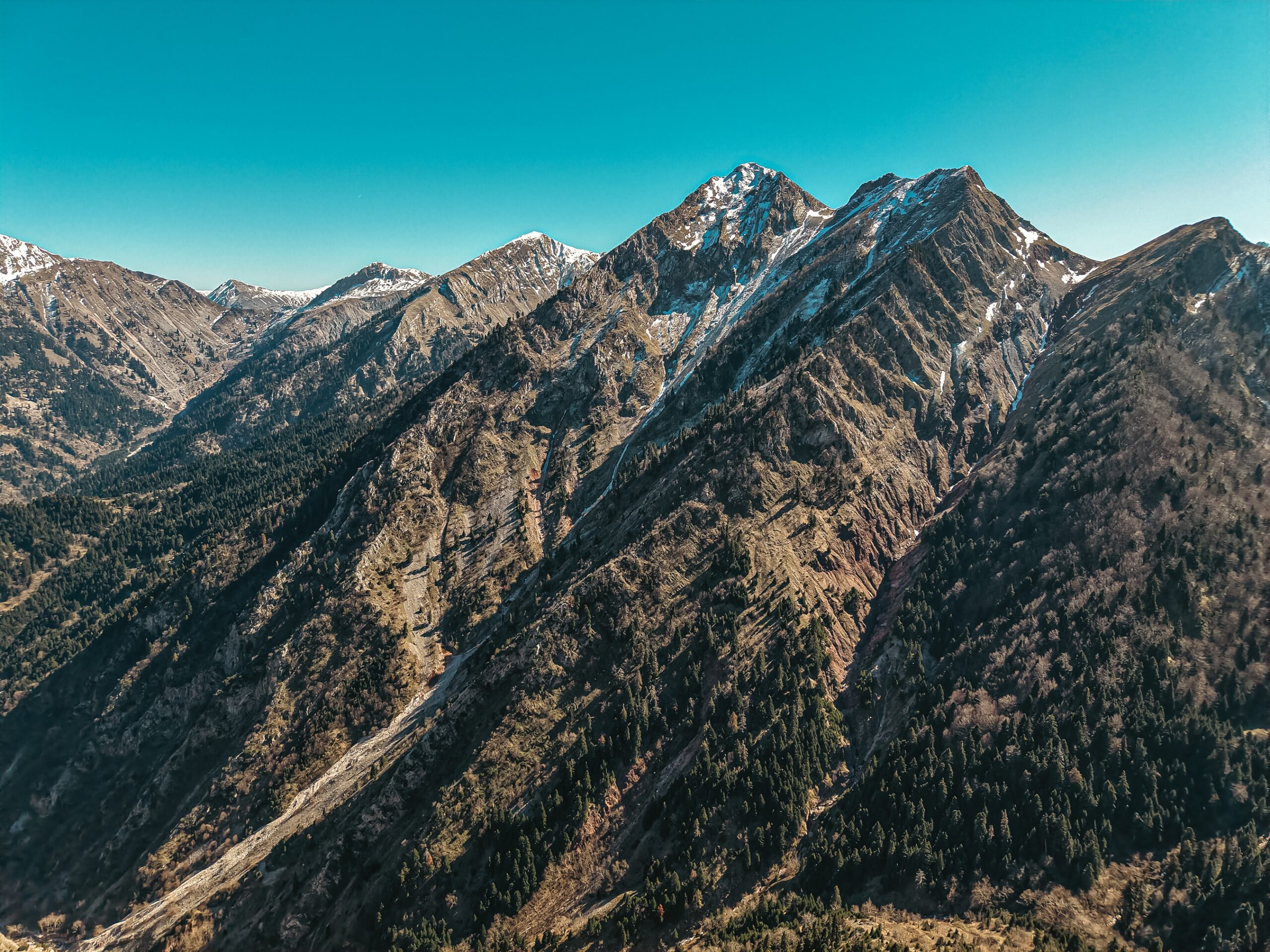
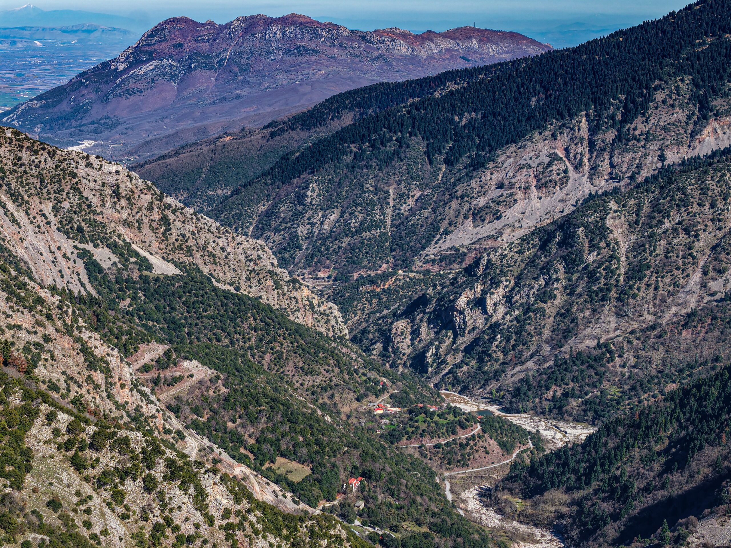
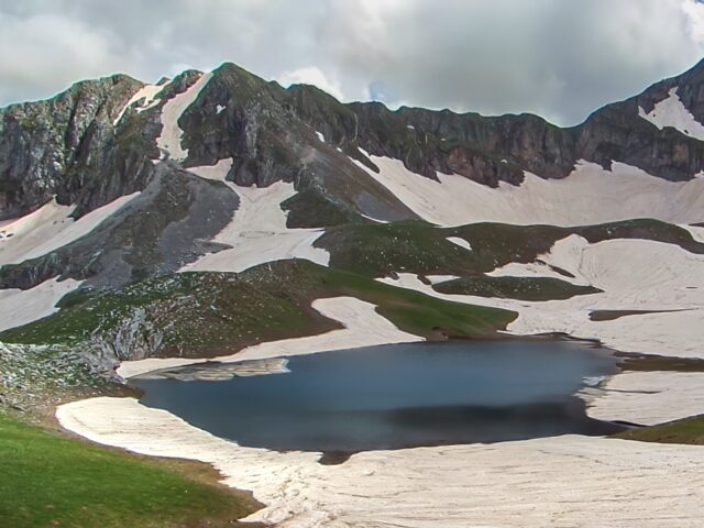
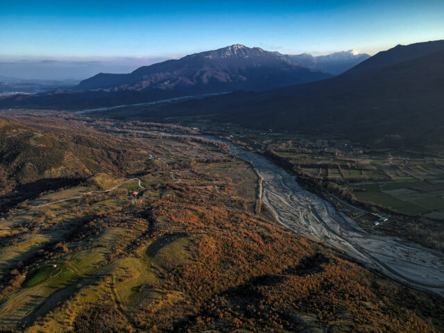
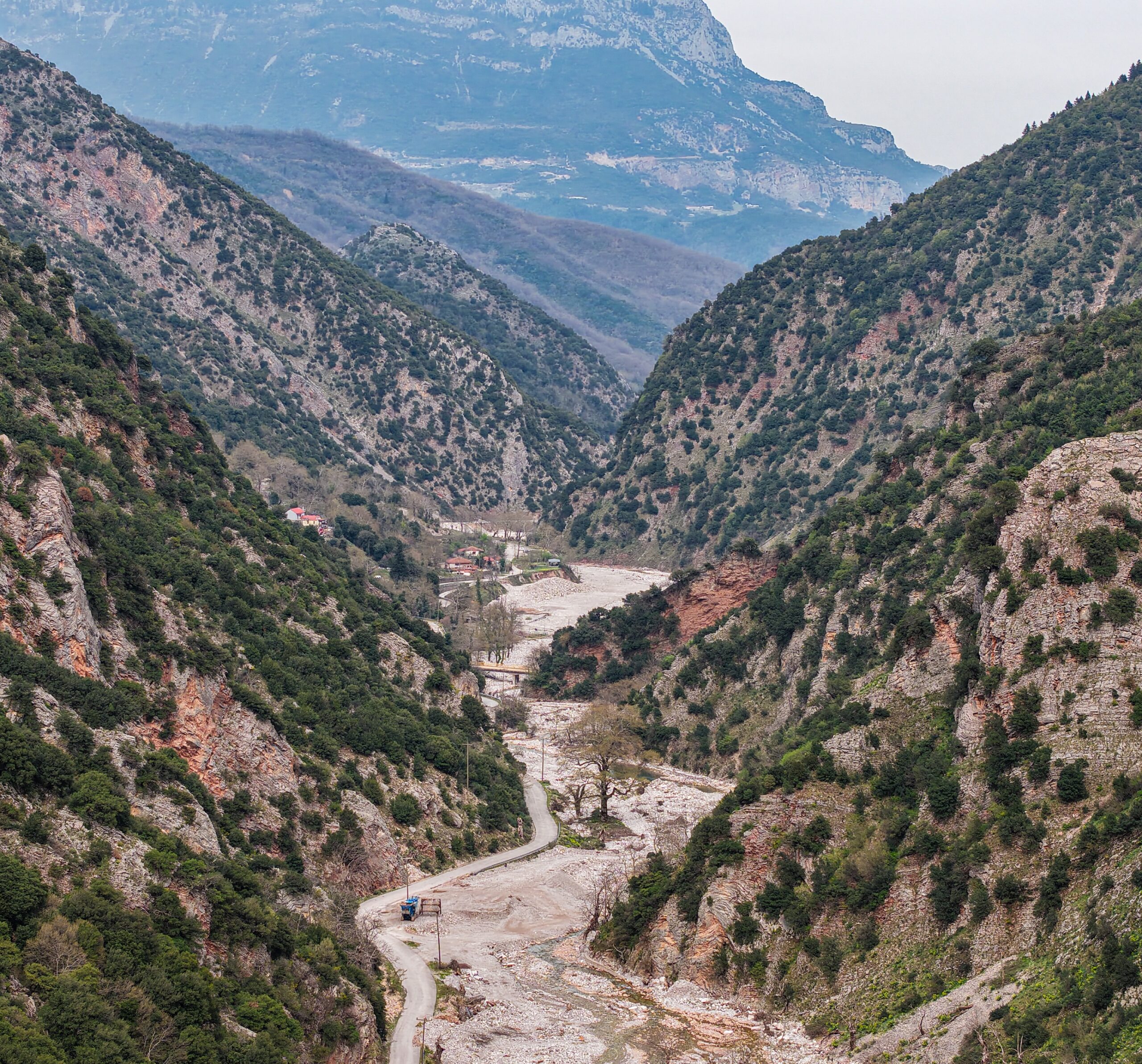
A spectacular mountain stream that begins in the snowy peaks of mountainous Thessaly and is distinguished for the marriage of wild nature and folk culture throughout its route, Gropa was traditionally better known as the most difficult mountain road passage in Greece until the Gropa tunnel was built, passing through the small mountain Spanoulaki. The area is surrounded by large peaks that form the borders of three prefectures: Trikala, Karditsa and Arta. To the north is Avgo, to the west is Hatzi and to the south is Karavoula. The Gropa stream is formed by many streams, waterfalls and springs that descend from the smaller mountains of Katouna, Tsouka, Soufli, Achladia, Xirovouni and Profitis Ilias. The stream starts from the heights and after 3.5 km. meets the large stream of Chira, from where it enters the gorge of Paleokarya and later, after another 3.5 km, it flows into the Portaikos River, below the hill of Mikros Kastro. The total length of the Gropa stream reaches just 7 km, which makes it an excellent place to explore.
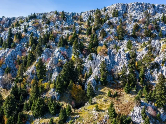
The stream is surrounded by a dense riparian forest of plane trees, willows, maples, alders, elms, poplars, etc. A little higher up on the limestone rocks, mainly holly, holm oak and other oak trees grow, while near the settlements there are walnut, apple, plum, cherry and other fruit trees. At the highest points of the stream and below the cliff of Gropa, full of rocks, a semi-mountainous meadow called Dentra spreads out, and even higher, some beech and fir trees begin. Many remarkable species of flowers also thrive in the area.
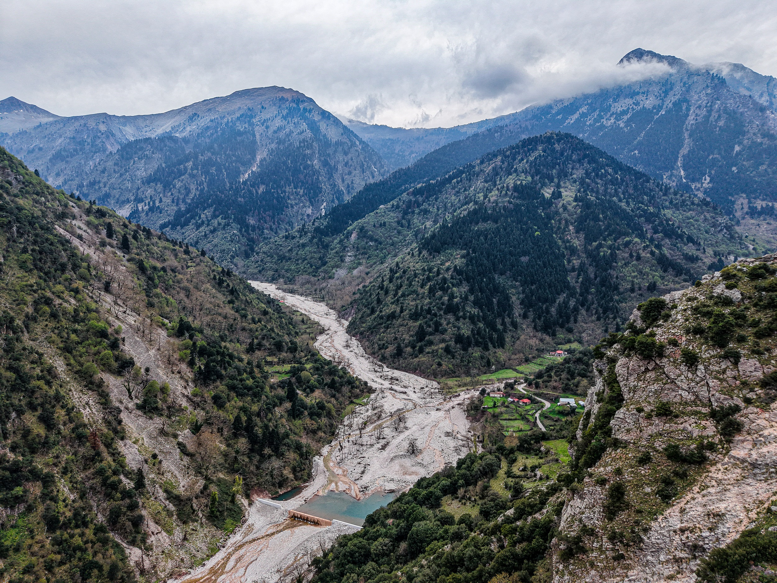
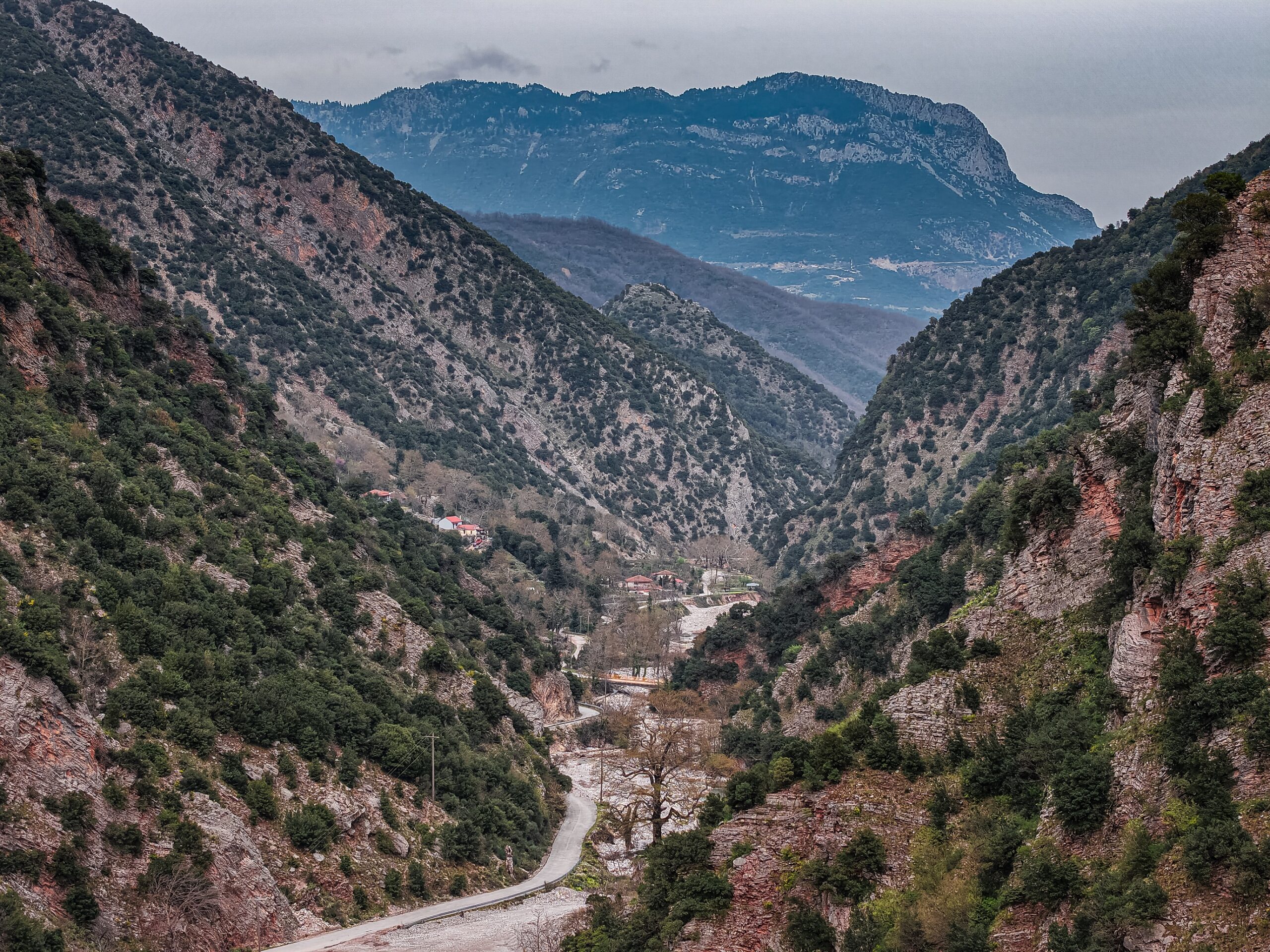
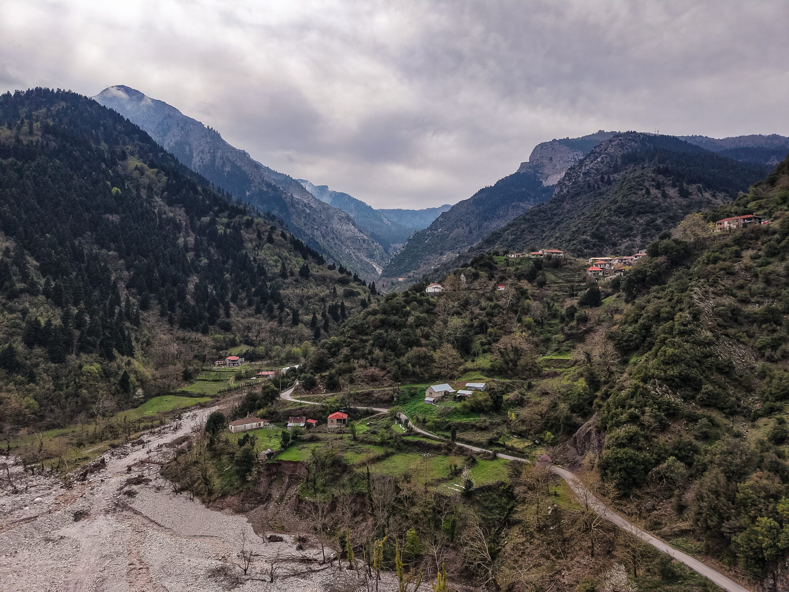
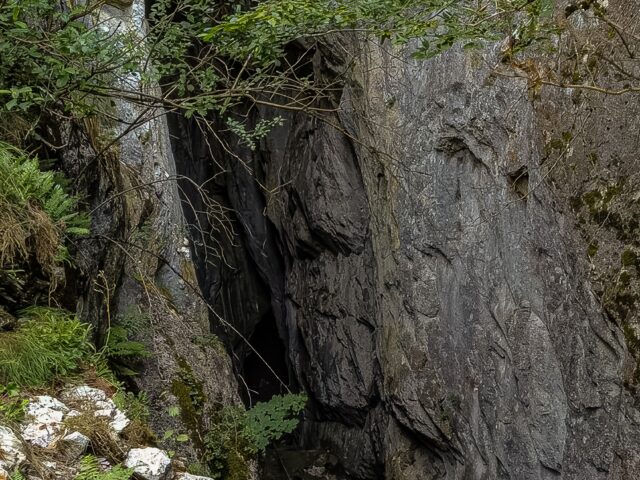
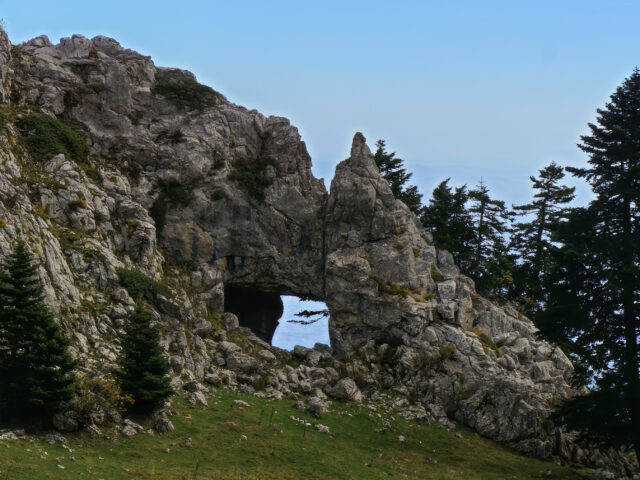
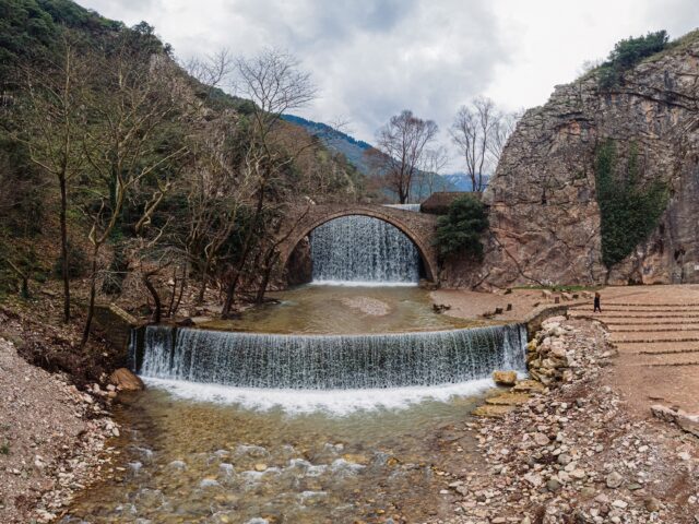
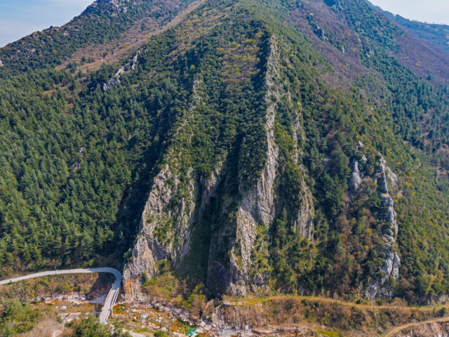
As it flows, the Gropa stream passes south of the three settlements of Paleokarya: Ano, Mesi and Kato Paleokarya. It is noted that in the last settlement there is one of the last operating watermills of the area, while next to it there is a dristel for washing clothes, wonderful examples of the style and lifestyle of the mountain culture. On the opposite slope of Alataria, below the Karavoula shelter, one of the highest seasonal waterfalls of the area flows. Further down, at Katafyli, there is a small dam that holds back the waters of the stream, just behind the famous stone bridge of Paleokarya. On a steep slope opposite Middle Paleokarya is the entrance to the cave of Aeras Paleokarya.
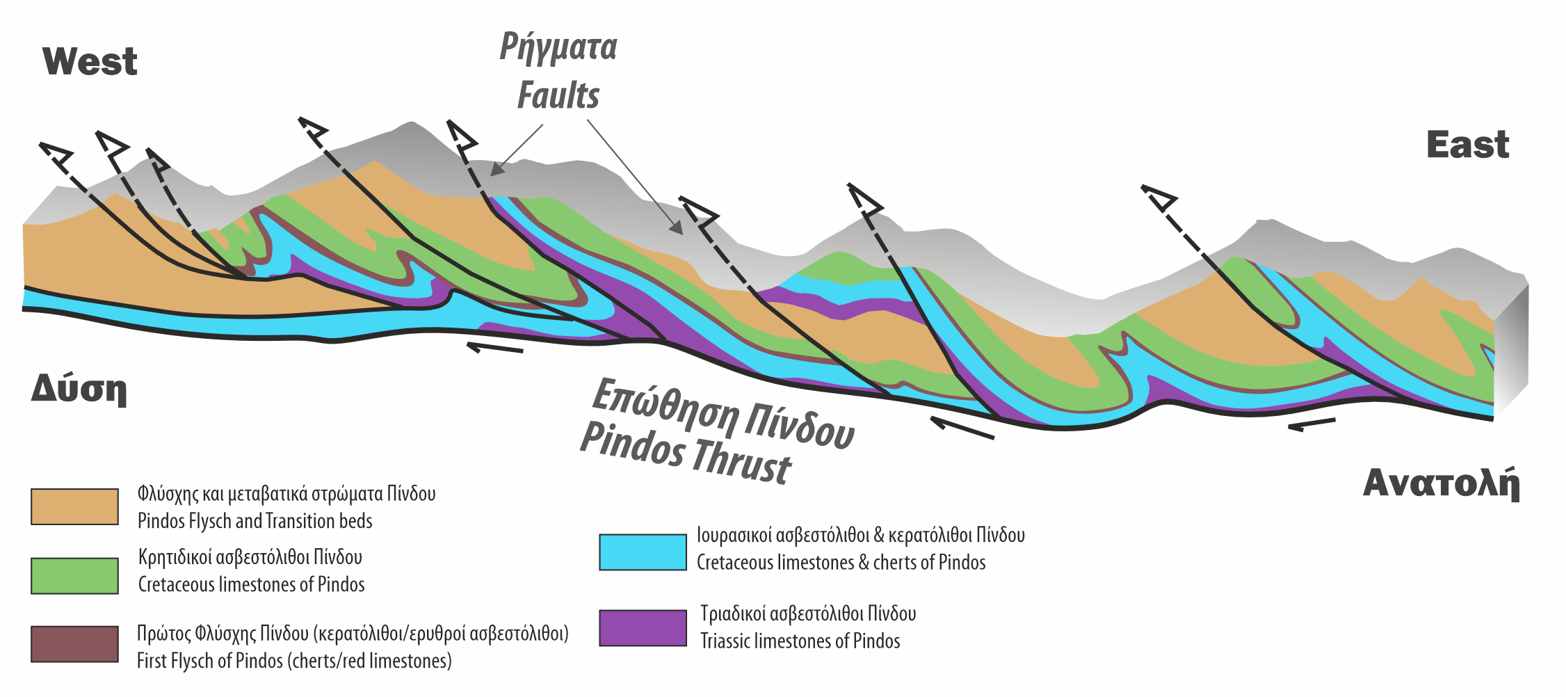
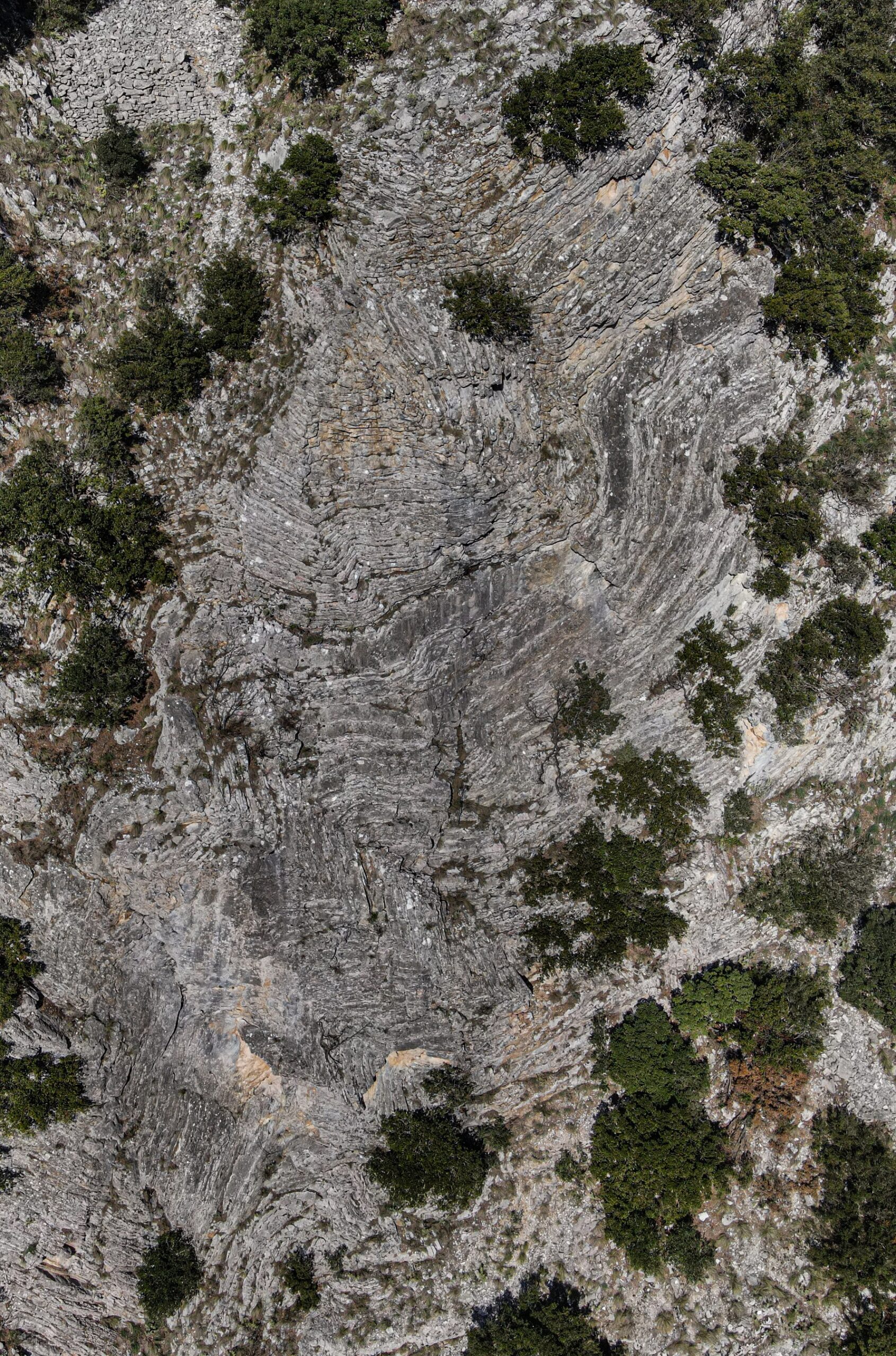
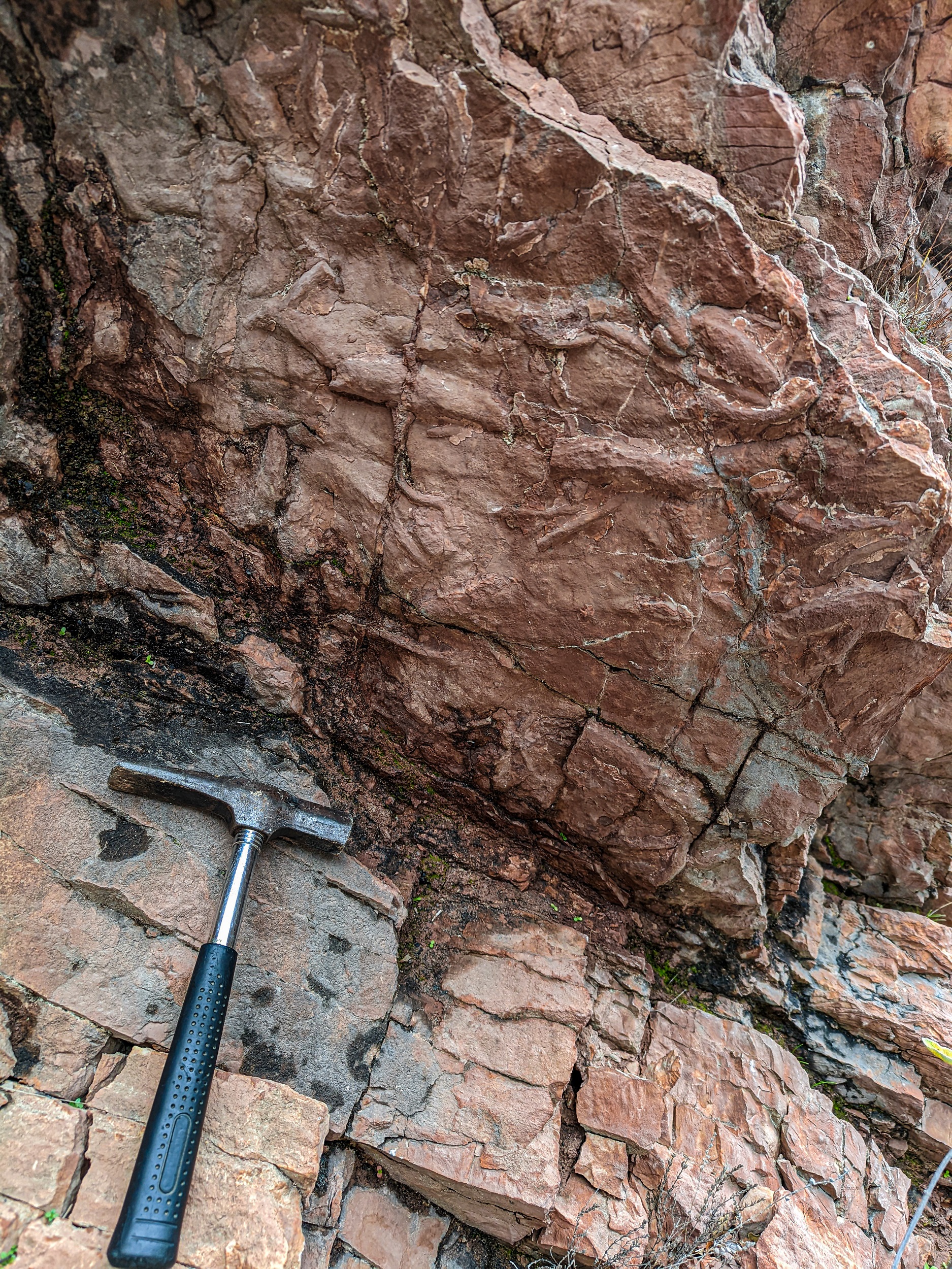
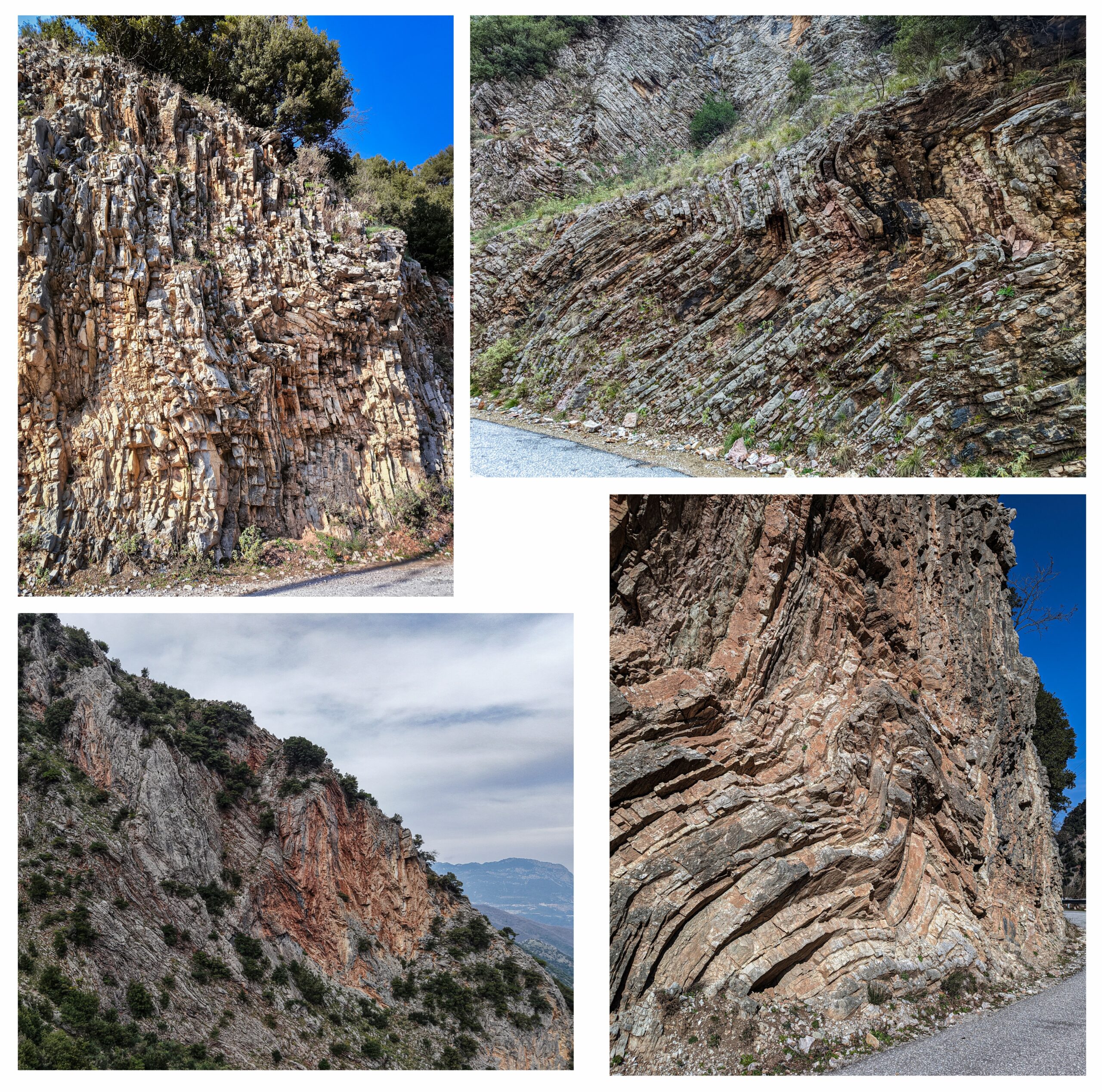
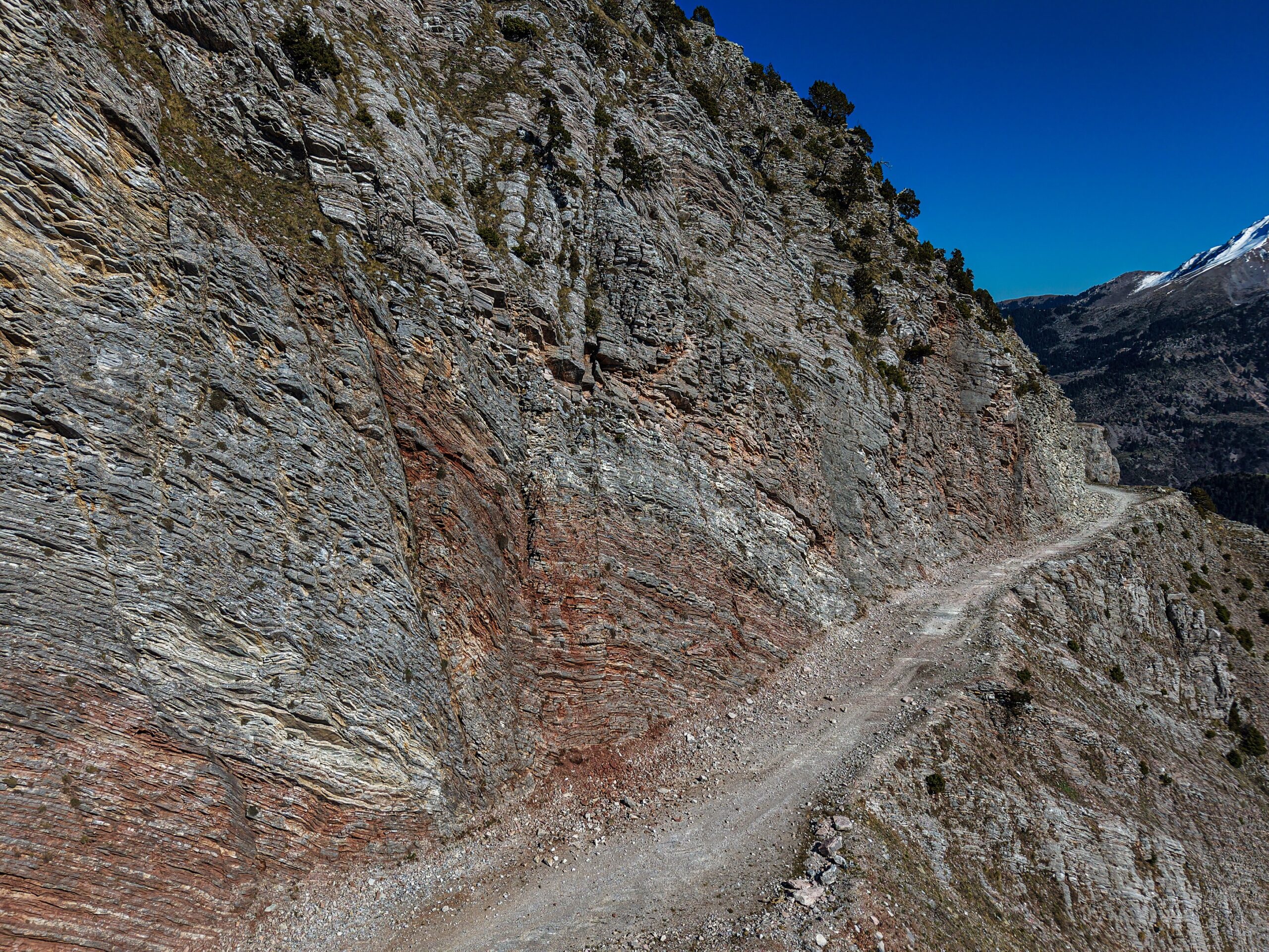
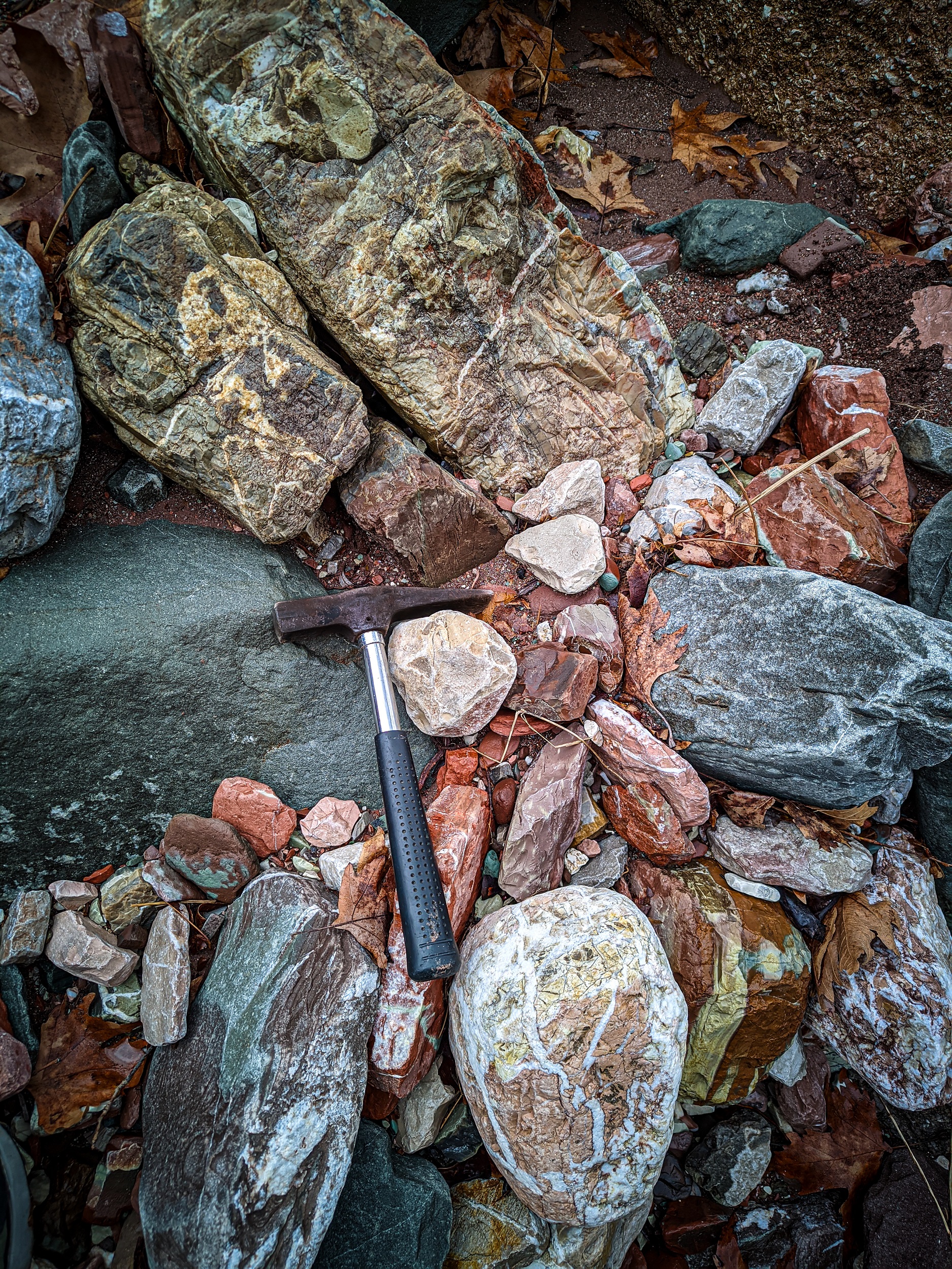
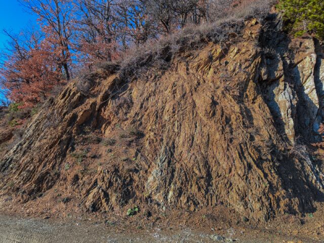
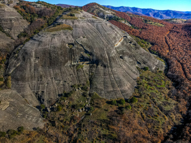
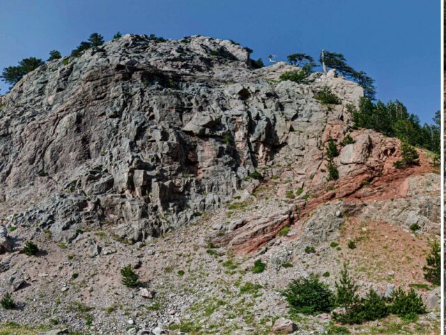
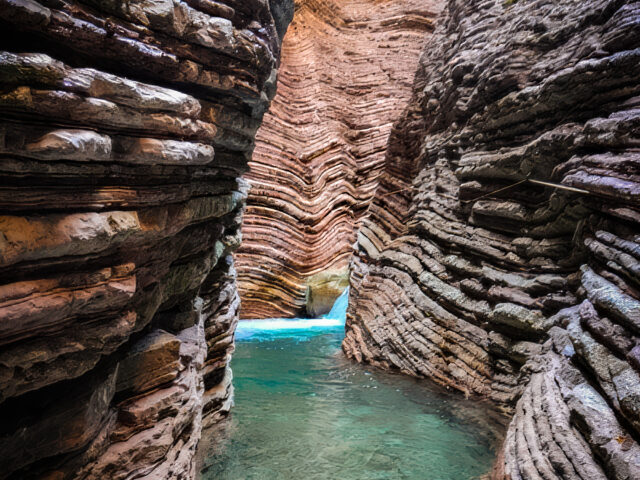
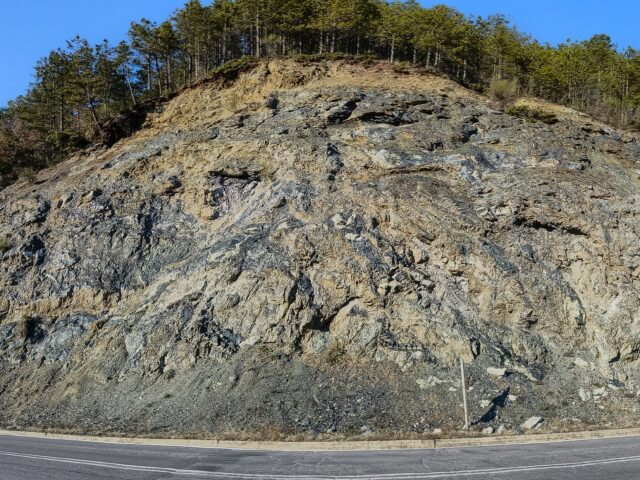
The gorge and the valley of Gropa cross vertically the geological formations of the Pindos zone. During the Mesozoic, a sequence of deep-sea sediments was deposited in the Pindos Ocean, which constitute the Pindos zone (unit). Pindos was created about 35 million years ago, with the Alpine Orogeny: the sediments of Tethys were folded and uplifted, creating the mountains around the Mediterranean, including Pindos. The orogenesis began in the area of eastern Greece, migrating westward over millions of years. The Alpine orogenesis and the folding of the Pindos formations created the current image of a series of folded covers and thrusts, resulting in the Pindos formations being repeated and, in some areas, appearing in an inverted stratigraphic order (older rocks on top of younger ones). The rocks we see entering the Gropa gorge are the soft turbiditic sediments of the Pindos Flysch before the Paleokarya bridge, a series of transitional layers and the white/gray limestones of the Cretaceous, on which the Paleokarya bridge is founded. Then, the characteristic reddish/brown sediments of the First Flysch of Pindos (Lower Cretaceous), with argillaceous schists, sandstones and cherts, as well as a series of alternations of thin-bedded cherts, radiolarites and Jurassic limestones. Following the road that crosses the gorge to Ano Paleokarya, we cross almost the entire stratigraphy of Pindos, with repeated appearances due to folding and thrusting. Tectonic deformation created the almost vertical layers of rocks and the creation of impressive folds. At the highest point of the valley to the west, at Dentra meadow, right below the Gropa pass, the valley has been filled in by thick deposits of large prehistoric landslides.