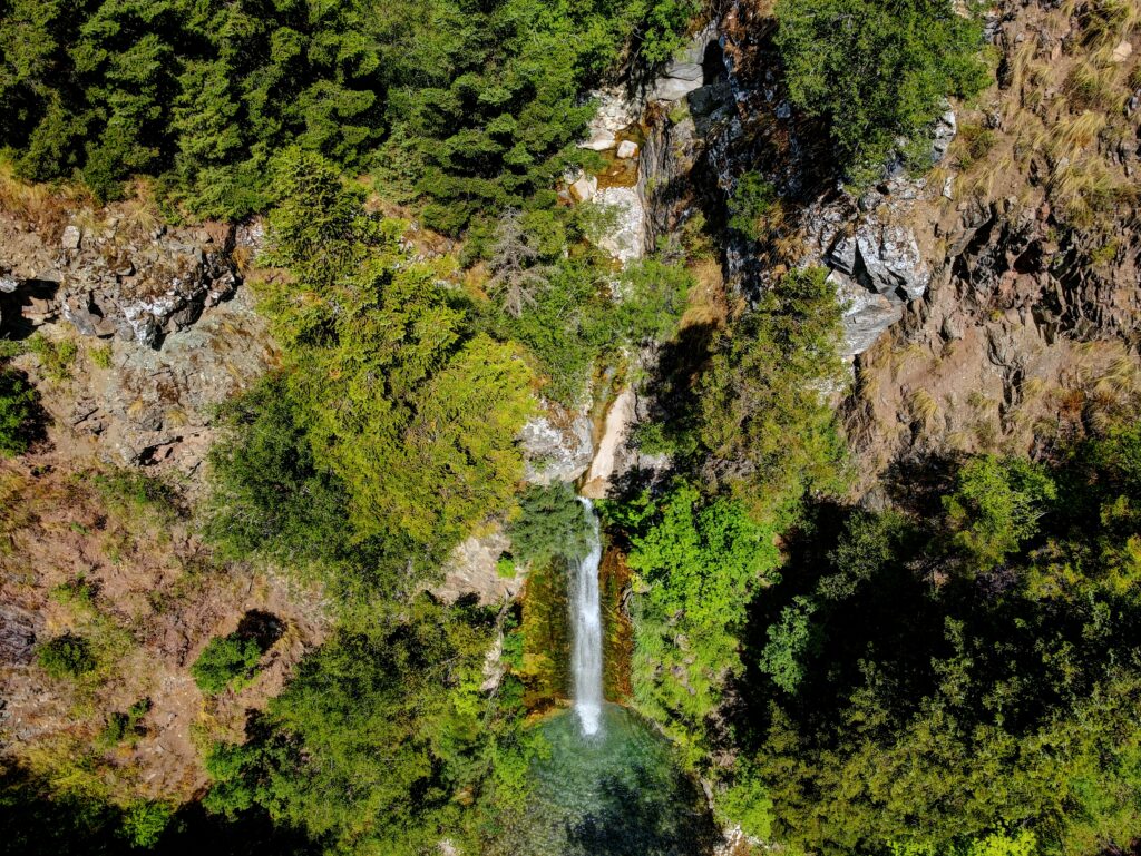
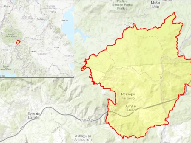
Athamanian Mountains (Neraida)
GR2130013 – WIDER AREA OF THE ATAMANIC MOUNTAINS
Address
Tzoumerka 455 00
GPS
39.550429173312, 21.000042869554
Area Code: GR2130013 | Area: 64603.5600 hectares
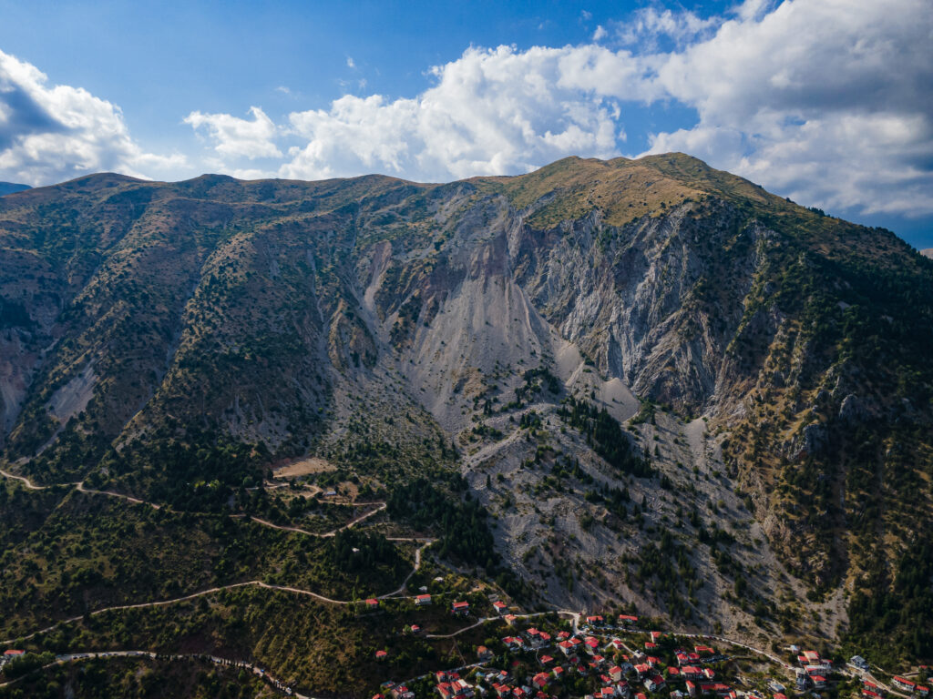
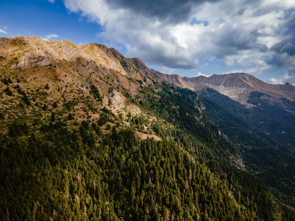
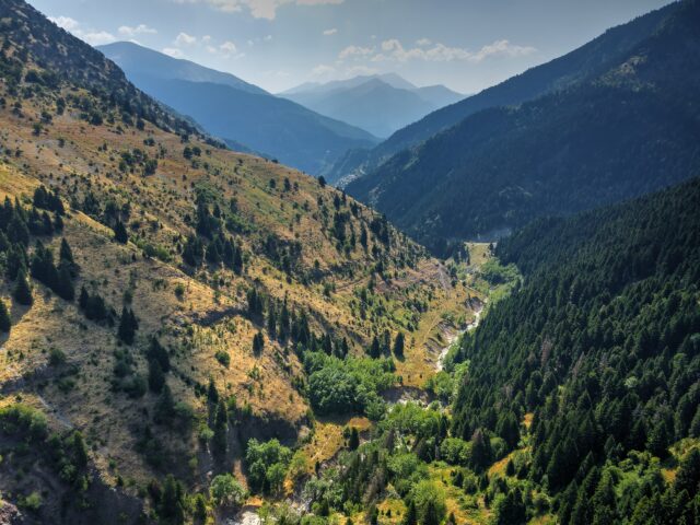
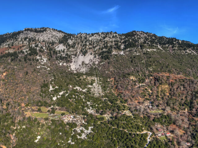
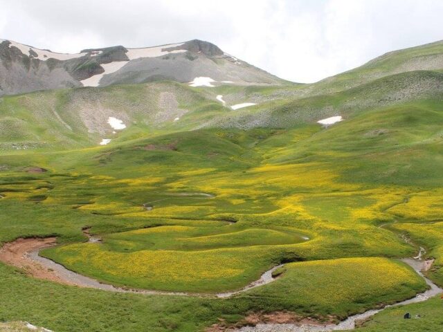
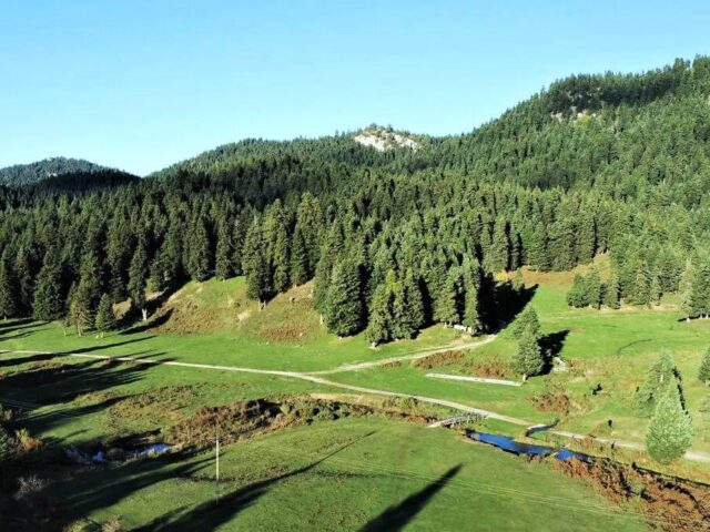
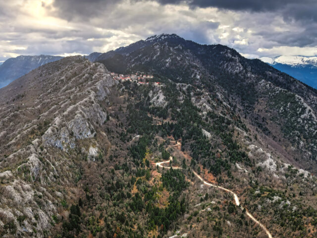
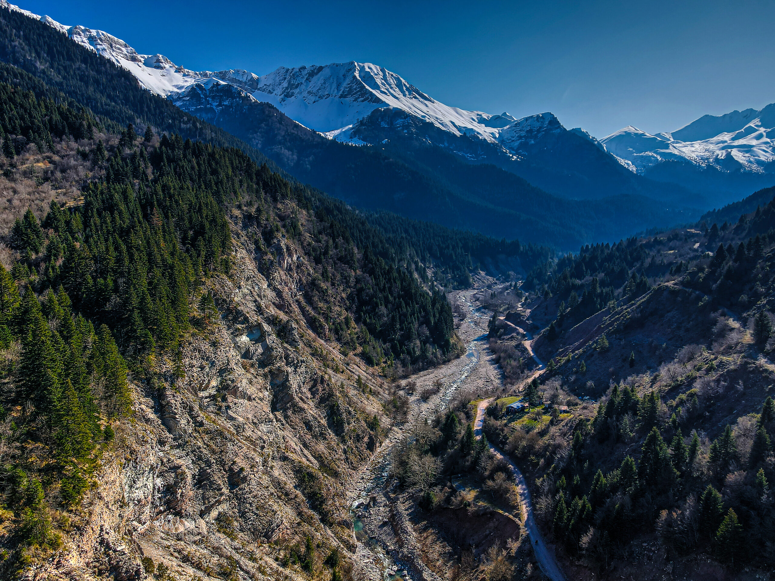
The area includes the mountain range of the Athamanian Mountains (Tzoumerka). The Athamanian Mountains are located in the north-western part of South Pindos, between Thessaly and Epirus. They are one of the largest mountain ranges in the country, with a length of more than 30 km, and together with Mount Lakmos (Peristeri) they form a single geographical unit oriented in space from north to south. Kakarditsa (2 429 m) is the highest peak of these mountains, followed by Katarachias (2 280 m), Trygona (2 068 m), Strogoula (2 017 m), Gerakovouni (2. 211 m) and Katafidi (2.393 m) (Christou, 2000). On their eastern side there are the famous plateaus of Kostelata, which is an important area of Vulture presence. Also the river Acheloos in the east separates Tzoumerka from the main body of Pindos.