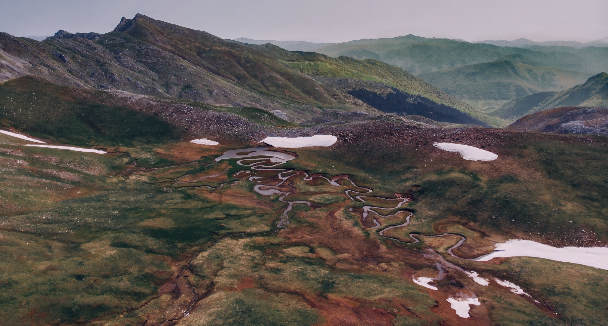
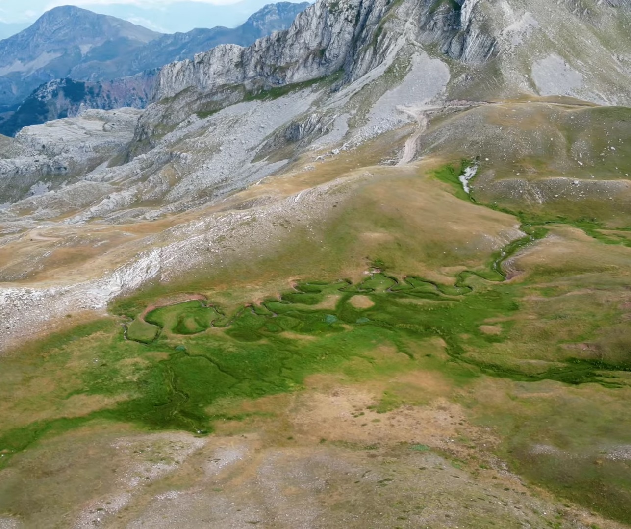
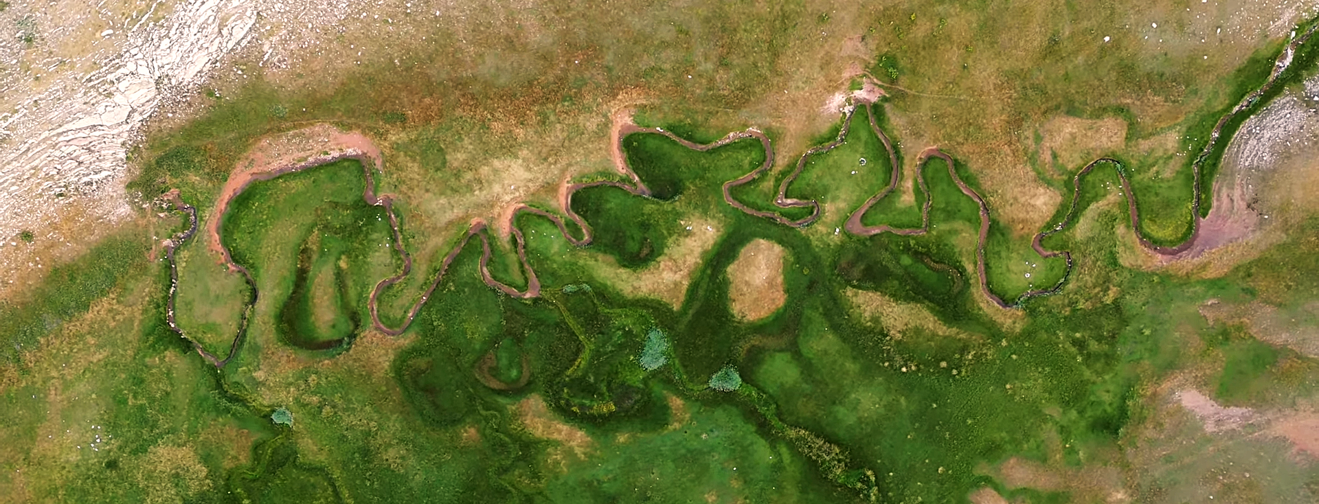
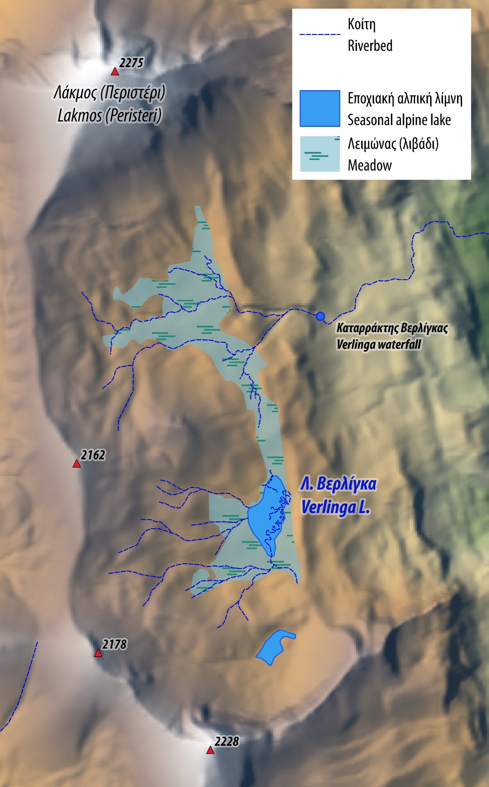
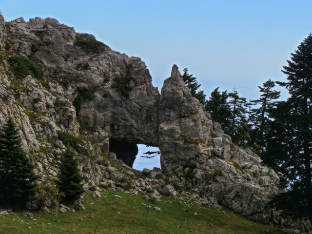
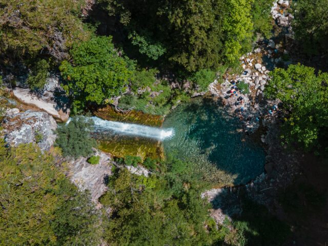
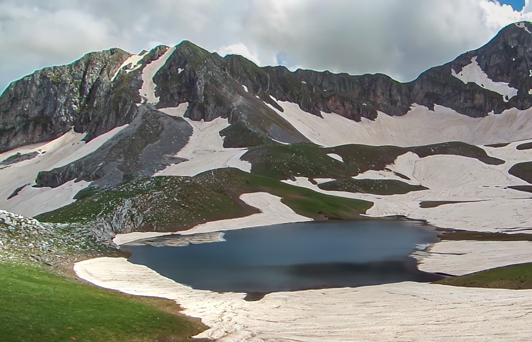
Aspropotamos springs & Verlinga Alpine lake
Lakmos or Peristeri
Address
Apropotamos 420 36
GPS
39.67602475298, 21.129784469032
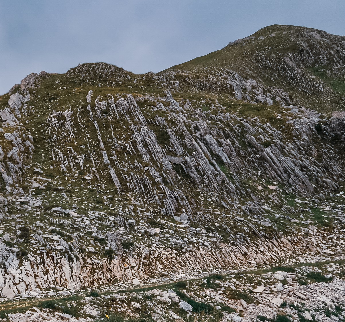
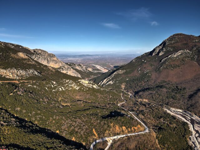
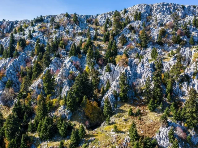
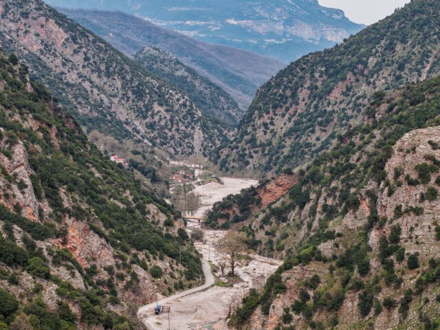
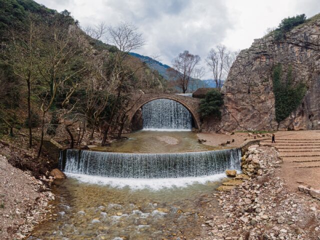
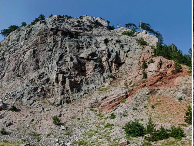
Lakmos, or Peristeri, is a long, narrow mountain range with a series of high peaks that separates the Regions of Epirus and Thessaly. At an altitude of 2,050 meters, an alpine plateau has formed. Near the village of Chaliki, the northernmost village of the Aspropotamos region, is one of the most beautiful alpine plateaus in our country, Verlinga (in Vlach dialect it means meander), from where the Aspropotamos River originates. There, the dragon (alpine) lake of South Pindos, Verlinga, or Vrigga, is formed from the waters flowing from the surrounding hills. The waters are then led through a meandering network of streams of incredible beauty to the exit from the plateau to the east and to the creation of Aspropotamos, the upper reach of the Acheloos River. Depending on the season, the waters in the meanders swell and form small lakes. In the summer months, the water level drops and we find surface water only inside the hollows of the meanders. The rocks that prevail in the area are Cretaceous limestone of Pindos zone and limited occurrences of Pindos flysch. It is an impressive treeless mountainous landscape with rocky slopes, cliffs, alpine green meadows, mountain springs and streams. The main route to Verlinga starts from Chaliki, ascending the mountain valley west of the village. The first part of the route follows forest roads and the last part the paths that have been opened by the herders. Access is limited or impossible during the winter months when there is almost constant snow cover and water circulation in the streams of the valley. It should be noted that in order to preserve the natural area of Verlinga, access to off-road vehicles and camping on the plateau is prohibited.
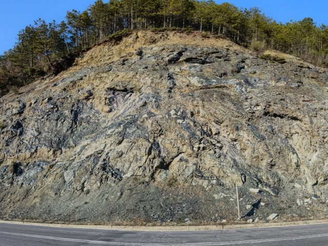
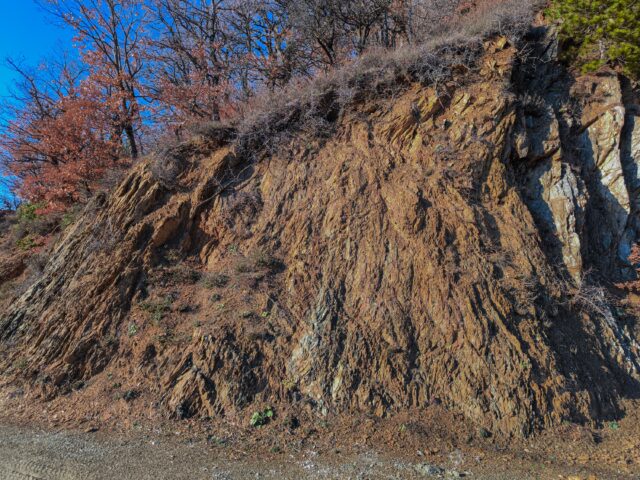
The formation of the landscape and the water bodies of Verlinga is mainly due to the action of glaciers during the last Pleistocene Ice Age (2.5 million – 12 thousand years ago). In the Greek area, glaciers had a minimal spread compared to central and northern Europe. During the Pleistocene, the maximum spread of glaciers was limited to 1400-1600 meters, where we still find the signs, they have left in the geomorphology today. Morphological features and deposits related to glaciers are found today in the highest points of the mountains of Pindos and central Greece, such as Smolikas, Tymfi, Grammos, Olympus, Kakarditsa, Triggia, etc. In the Verlinga area, the Pleistocene glaciers sculptured the morphology and created the current amphitheatrical form on the eastern slope of Lakmos. At the peak of their spread, the main mass of the glacier carved the slope, creating depressions and steps, where there were alternations of lithology and at the points of maximum thickness of the glacier. The gradual disappearance of glaciers due to climate change after the Last Glacial Maximum (22-16 thousand years ago) left the Verliga plateau ice-free, with alpine lakes forming seasonally in the lower reaches due to rainfall and snow. The soft soil deposits left by the glaciers (tillites – moraines) allowed the formation of the meanders we see today, as they are more easily eroded than the hard limestone rocks.