Category: Geoactivities
Discover unique geo-activities in the Meteora-Pyli Geopark! Enjoy rafting, skiing, hiking, climbing, cycling, truffle hunting and horseback riding in an enchanting natural landscape.
Biking
Mountain biking on forest trails, leading to landscapes of outstanding beauty where cars cannot be used.
Climbing
An exciting experience on the legendary rocks of Meteora, for beginners and experienced climbers.
Hiking
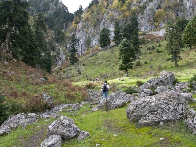
The best way to admire Meteora is to take a hike on its steep cliffs and admire the view from the monasteries.
Horse Riding
A unique walk at the foothills of Meteora, ideal for all ages. It brings relaxation and contact with nature.
Rafting & Canoe
Rafting in Meteora: A unique adventure on the Pinios River, with the imposing rocks as a backdrop. Ideal for all ages, it combines action and natural beauty.
Ski
Skiing and winter activities, with organized slopes in magnificent fir forests, suitable for all ages.
Truffle Hunting
It combines contact with nature, knowledge about mushrooms, but also the acquaintance with unprecedented culinary creations.
Distance 28.700,00 m. | Technical Difficulty Moderate | Max Altitude 1814 m. | Duration 14 hours The trail starts from ancient Pialia and after crossing a forest with deciduous trees, of the eastern side of Koziaka, it reaches the fir forest at the Bay site. At the Bey position there…
View more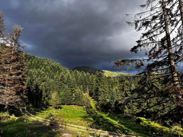
Distance 33.580,00 m | Technical Difficulty Moderate Max Altitude 1259 m. | Duration 14 hours and 20 minutes The Vlachostrata is the main path (strata) of the residents of the mountain of the region of Trikala from the lowlands to the lowlands and vice versa from the lowlands to the…
View more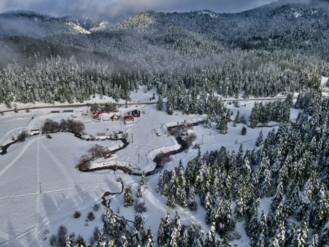
It is located in Pertouliotika Livadia at an altitude between 1150 and 1340 meters. There are three slopes, the red, blue and green, which is educational. The red run is 1,500 metres long with a two-seater aerial lift, the blue run is 400 metres long with a drag lift and…
View more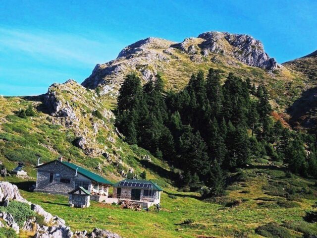
Distance 44.890,00 m | Technical Difficulty Moderate | Max Altitude 1710 m. | Duration 20 hours and 10 minutes The European Long Distance Trail E4 is an international trail established by the European Mountain Hiking Association (E.W.V.) in the following countries: Spain, France, Switzerland, Germany, Austria, Austria, Hungary, Romania, Bulgaria,…
View more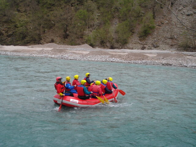
Distance 4,470 m. | Difficulty Level Moderate | Descent -425 m. | Duration 4 hours and 30 minutes Meeting at Alexiou bridge For those who can't get enough rafting easily, the two sections, Aspropotamos I & Aspropotamos II, are made as one! With good water, this experience is a "must"…
View more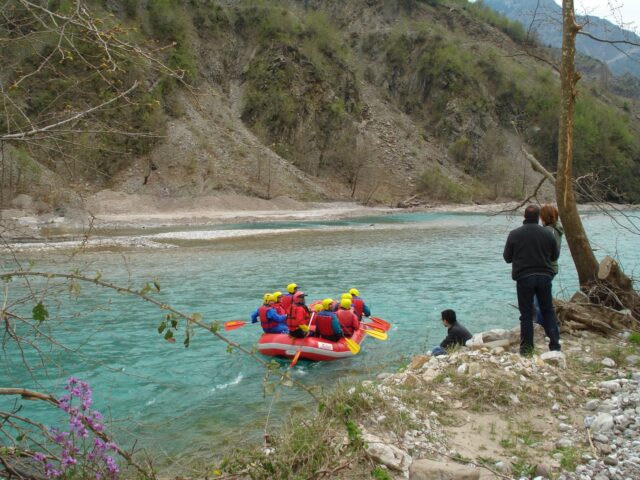
Distance 4,470 m. | Difficulty Level Moderate | Descent -425 m. | Duration 1 hour and 15 minutes Meeting at the Alexiou bridge. This is the second section of the Upper Acheloos (Aspropotamos) to the artificial dam of Mesochora. Gradually and as we descend the river, the valley of Aspropotamos…
View moreSEARCH
Looking for more?
Cras rutrum tellus et vulputate accumsan. Sed id ultricies mauris, nec semper nisl.

