Category: Geoactivities
Discover unique geo-activities in the Meteora-Pyli Geopark! Enjoy rafting, skiing, hiking, climbing, cycling, truffle hunting and horseback riding in an enchanting natural landscape.
Biking
Mountain biking on forest trails, leading to landscapes of outstanding beauty where cars cannot be used.
Climbing
An exciting experience on the legendary rocks of Meteora, for beginners and experienced climbers.
Hiking
The best way to admire Meteora is to take a hike on its steep cliffs and admire the view from the monasteries.
Horse Riding
A unique walk at the foothills of Meteora, ideal for all ages. It brings relaxation and contact with nature.
Rafting & Canoe
Rafting in Meteora: A unique adventure on the Pinios River, with the imposing rocks as a backdrop. Ideal for all ages, it combines action and natural beauty.
Ski
Skiing and winter activities, with organized slopes in magnificent fir forests, suitable for all ages.
Truffle Hunting
It combines contact with nature, knowledge about mushrooms, but also the acquaintance with unprecedented culinary creations.
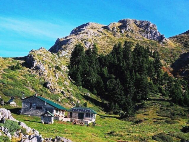
Distance 1.690,00 m | Technical Difficulty Easy | Max Altitude 1697 m | Duration 1 hour and 10 minutes This trail is an alternative short ascent to the shelter from the Pertouli Ski Centre, bypassing the big loop that makes the classic access trail. It is the route that was…
View more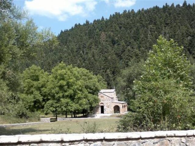
Distance 740,00 m | Technical Difficulty Easy | Max Altitude 1043 m. | Duration 20 minutes This is an alternative tourist access trail to Agia Triada. Arriving at the aqueduct, following the smooth path to the left and crossing the dense forest above the Kanavia site, you come across the…
View more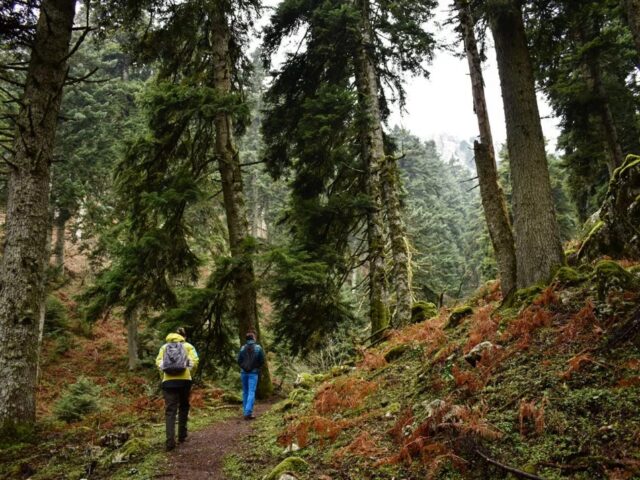
Distance 1.210,00 m. | Technical Difficulty Moderate | Max Altitude 1073 m. | Duration 40 minutes The chapel of Agia Triada is located in a dense forest above Elati and in a 1025 meters altitude. There are several routes to get there. From the village square we follow the road…
View more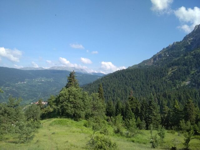
Distance 2.980,00 m. | Technical Difficulty Moderate | Max Altitude 1526 m. | Duration 2 hours The trailhead starts at the junction of the forest road above Elati with the small tractor road leading to Gouva. This route is one of the most impressive in the area, as it passes…
View more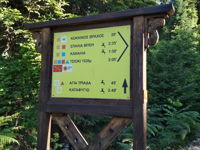
Distance 2.880,00 m | Technical Difficulty Moderate | Max Altitude 1332 m | Duration 1 hours and 50 minutes The trail starts from the centre of Elati, following the uphill road across the village. It is the starting point of all the paths from Elati to the peaks of Koziaka….
View more
Distance 7.370,00 m | Technical Difficulty Moderate | Max Altitude 1200 m. | Duration 4 hours and 20 minutes The village of Agios Vissarion, also known as Dousiko, is located just 1 km north of Pyli and is known for the large monastery of the same name above the village….
View moreSEARCH
Looking for more?
Cras rutrum tellus et vulputate accumsan. Sed id ultricies mauris, nec semper nisl.

